Ashwell Street (Far East) CA 02 & CA 03, Cambridgeshire - Motorcycle Trail Riding in England
Автор: Byway Nomad
Загружено: 2025-05-29
Просмотров: 196
Описание:
Ashwell Street (Far East) CA 02 & CA 03, Cambridgeshire - Motorcycle Trail Riding in England
Two byways that form part of the long route of Ashwell Street, part of the Icknield Way through Cambridgeshire and Hertfordshire.
Formed from a total of eight byways and one UCR in Cambridgeshire and three Byways in Hertfordshire, I have decided to cut this into sections mostly in between where the route crosses tarmac roads.
This will entail, four separate videos for the Cambridgeshire section and two for Hertfordshire. Once all are published I will also include a video of the entire route in one go, this is a continuous route of 11.72 Kilometres or 7.28 miles.
This is the far eastern section between the A10 Royston to Cambridge Road and the A1198 Royston to Huntingdon Road. It comprises Melbourn Byway 10 and Bassingbourn Cum Kneesworth Byway 24. And for those of you with smutty minds, Cum in this context is a linking word that indicates two formerly separate villages that are now joined to form a single settlement. For instance a short distance away is the village(s) of Shingay Cum Wendy but this is not apparently a local term as I live near to Horton Cum Studley which is in Oxfordshire. All this and etymology too!
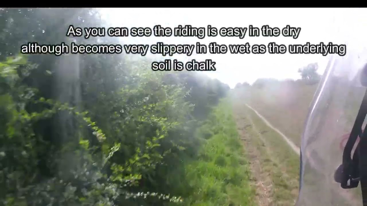
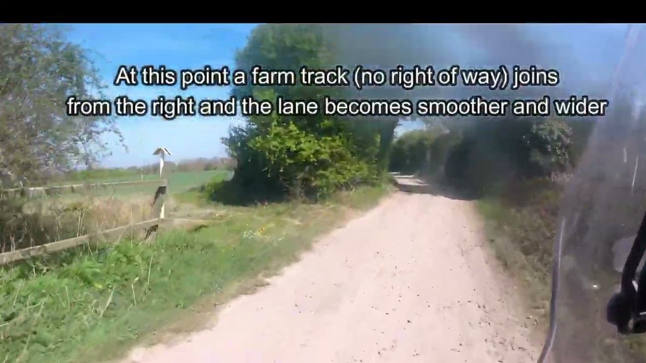
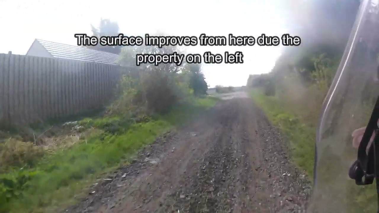
Starting as a rough sealed road, it passes under the railway bridge and becomes a dirt track, rutted in places and very chalky (so very slippery in the wet) mostly grassed over, then a section of unsealed metalled (stone) track.
No particular technical difficulties but the occasional dip can catch you out as not always visible until the last minute.
Start Location:
OS Grid Reference:
What3words: https://w3w.co/intro.motive.applies
Google Maps: https://maps.app.goo.gl/U6LyLUy9r3285...
End Location:
OS Grid Reference:
What3Words: https://w3w.co/backhand.chromatic.grad
Google Maps: https://maps.app.goo.gl/CBKNrMrWyHNKW...
Grade: GREEN
Length: 2.375 km /1.48 miles
Ridden: 12th April 2025
Ridden: East to West
Bike: Aprilia Tuareg 660
Tyres: Mtas Enduro XT+
For more videos checkout the website https://www.bywaynomad.co.uk
If you like what we do and would like to support our work, you can make a small (and we do mean small) donation on Buy Me A Coffee. Click on the link: https://buymeacoffee.com/bywaynomad
Please note this video is for information purposes only. The conditions are as shown on the date of filming but please be aware that weather and other factors may alter this over time.
The legal status of this green road was checked at the time of filming and was legal for use by motorcycles at that time but cannot be guaranteed for other types of motor vehicle (where this differs, I will always try to include information in the description). Legal status may change and whilst I make every effort to keep the descriptions updated and will re-film the route if necessary, please check the status for yourself on the relevant definitive map or list of streets, if intending to ride it.
Motorcycle trail riding is potentially dangerous, please ensure you have the necessary skills and wear appropriate protective clothing. Please ensure your bike is in a safe and legal condition (this is a public road like any other) including tax, insurance and MOT if required and that you have the appropriate licence for the bike you are riding.
When riding unpaved highways please show respect to other users (walkers, horse riders & cyclists) as they may not be aware this is a public road. If meeting horses coming towards you, please pull over and cut your engine until they are past. If you catch up with horses, stop and take a break, giving them time to clear the road.
Повторяем попытку...
Доступные форматы для скачивания:
Скачать видео
-
Информация по загрузке: