How to Analyze NDVI & NDBI in QGIS Using Landsat | Vegetation & Urban Mapping Tutorial
Автор: GeospatialTalks with Mingusa
Загружено: 2026-02-13
Просмотров: 109
Описание:
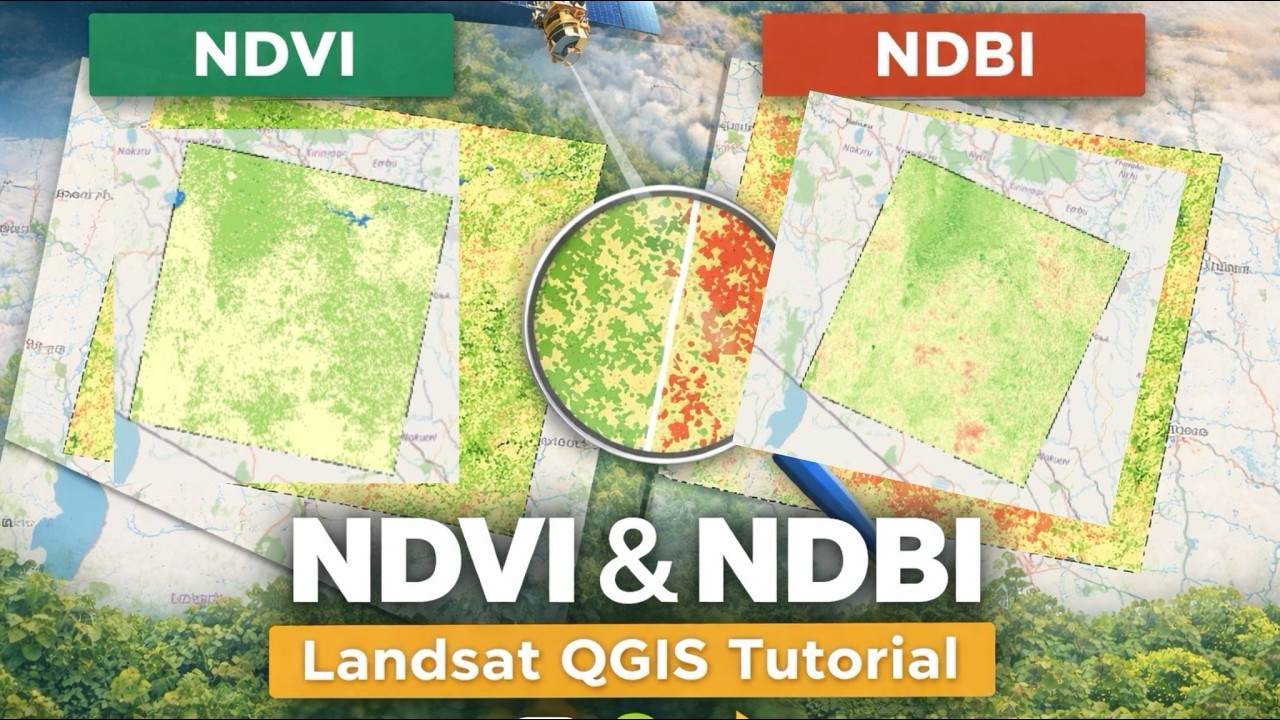
In this video, I demonstrate how to analyze vegetation health and built-up areas using NDVI and NDBI from Landsat satellite imagery in QGIS.
You will learn how to:
✔ Calculate NDVI and NDBI indices
✔ Classify vegetation and urban areas
✔ Interpret remote sensing results
This tutorial is useful for students, researchers, GIS analysts, and anyone interested in remote sensing and environmental monitoring.
👉 In the next video, I will show you how to perform change detection to analyze vegetation loss and urban growth over time.
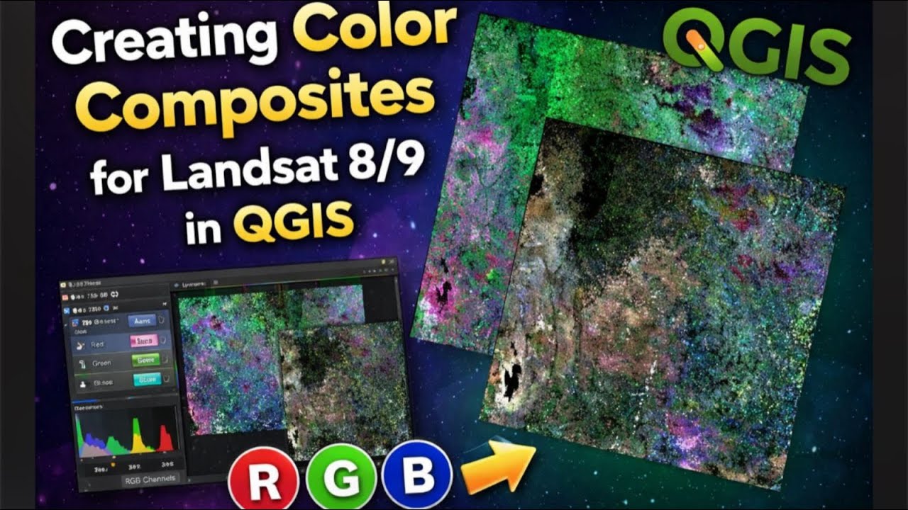
📍 Software: QGIS
📍 Data Source: USGS Landsat
📍 Method: Raster Calculator & Classification
If you find this video helpful, please like, share, and subscribe for more geospatial tutorials.
Повторяем попытку...
Доступные форматы для скачивания:
Скачать видео
-
Информация по загрузке:


![Divine Music - Ethnic & Deep House Mix 2026 [Vol.3]](https://imager.clipsaver.ru/cGDOx6qdo6I/max.jpg)