How to Create Landsat 8/9 Color Composites in QGIS | True & False Color Explained
Автор: GeospatialTalks with Mingusa
Загружено: 2026-02-03
Просмотров: 61
Описание:
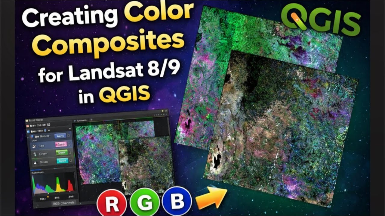
In this tutorial, I demonstrate how to load Landsat 8 imagery into QGIS and create true color and false color composites for urban expansion analysis.
You will learn:
How to load Landsat 8 bands in QGIS
Which bands to use for true color and false color composites
How color composites help in urban mapping and land-use analysis
Best visualization practices for Landsat imagery
This video is part of a practical Landsat Remote Sensing course designed for GIS students, geospatial engineers, urban planners, and environmental analysts.
📌 Software Used: QGIS
🛰️ Data Source: USGS EarthExplorer (Landsat 8)
📍 Application: Urban expansion mapping
👉 Don’t forget to like, subscribe, and turn on notifications for the next lesson on NDVI and NDBI analysis.
Повторяем попытку...
Доступные форматы для скачивания:
Скачать видео
-
Информация по загрузке: