Geoprocessing Tools in Qgis
Автор: Shedrack Nzogela
Загружено: 2026-03-01
Просмотров: 34
Описание:
Unlock the power of Geoprocessing Tools in QGIS to analyze and manipulate your spatial data efficiently. This tutorial is perfect for beginners and intermediate GIS users who want to perform operations like merging, clipping, buffering, and intersecting vector layers.
🔹 What You Will Learn
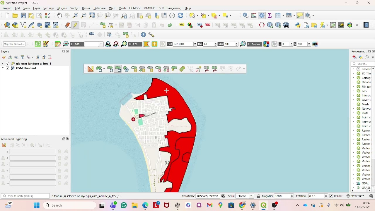
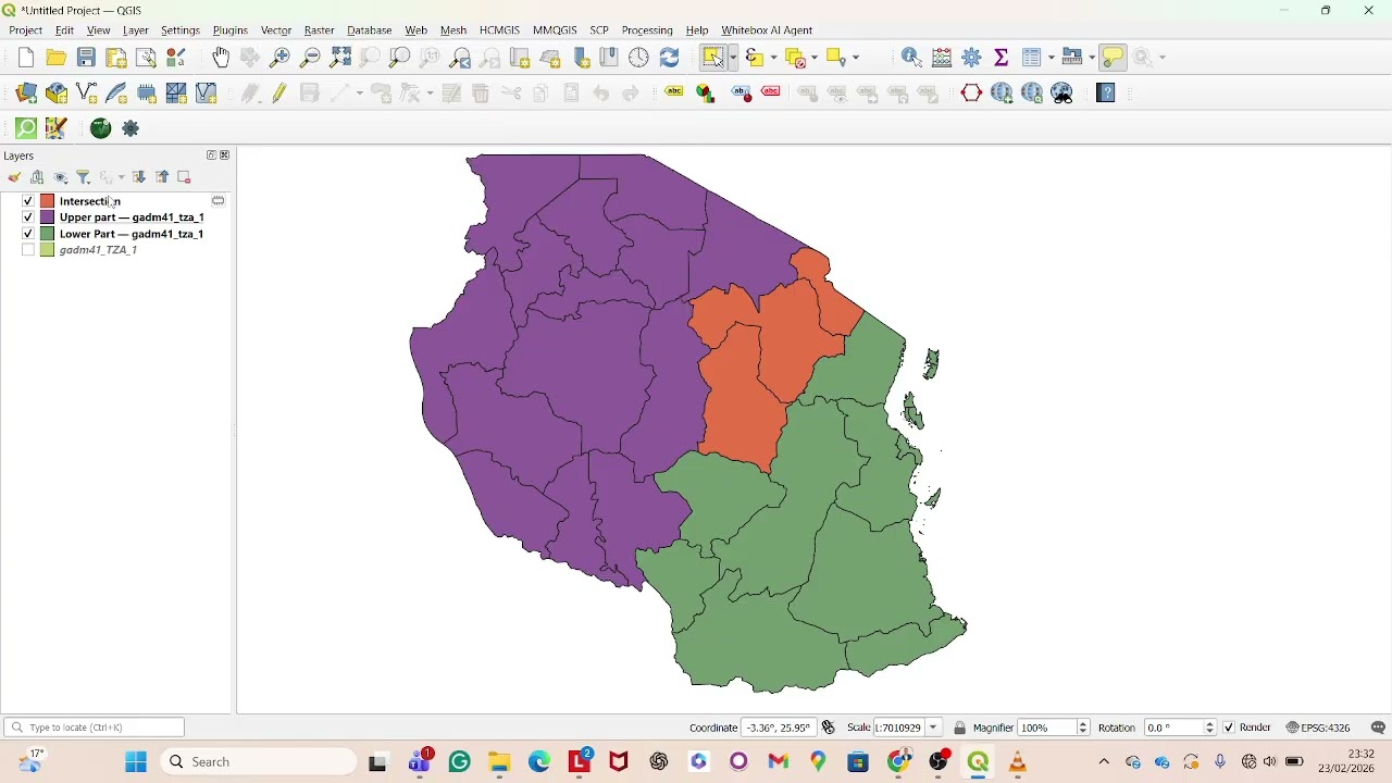
How to Clip and Intersect layers for area-specific analysis
Using Union and Merge to combine datasets
Applying Buffer to points, lines, and polygons
Understanding Dissolve to simplify geometries
Step-by-step workflow using the Processing Toolbox
🔹 Why Geoprocessing Tools Matter
Geoprocessing is essential for:
Extracting relevant spatial data
Preparing layers for analysis or mapping
Combining multiple datasets efficiently
Supporting decision-making in urban planning, environmental management, and infrastructure projects
By the end of this tutorial, you’ll be able to confidently manipulate and analyze spatial datasets for your projects or research.
Tags:
#QGIS #Geoprocessing #GIS #VectorAnalysis #GISforBeginners #SpatialData #Mapping #OpenSourceGIS #QGISTutorial #DataAnalysis
Повторяем попытку...
Доступные форматы для скачивания:
Скачать видео
-
Информация по загрузке: