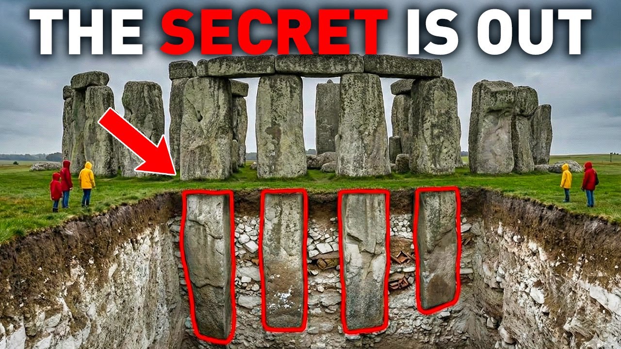
The Durrington Walls Hoax (HD) - LiDAR Investigation
Автор: Prehistoric Britain
Загружено: 2022-08-02
Просмотров: 721
Описание:
Durrington Walls: A Harbour, Not a Henge? | Langdon Investigates
In this 10-minute episode, Robert John Langdon uses LiDAR to challenge mainstream archaeological views of Durrington Walls, northeast of Stonehenge.
While traditionally labelled a “henge,” Langdon demonstrates that Durrington is in fact a massive cut into the chalk, not a raised earthwork. He presents compelling evidence — drawn from terrain modelling and spring flow data — that Durrington was once a Mesolithic harbour, naturally formed during post-glacial flooding.
From steep river-cut cliffs to tidal access channels and evidence of crannog-like stilt structures, this reinterpretation reframes Durrington not as a settlement for Stonehenge builders, but as a boating hub used for thousands of years — later adapted with dykes and landing stages as the water receded.
Langdon also uncovers a linear earthwork (dyke) previously misidentified as a field boundary, proposing it served as a prehistoric accessway to the water, perhaps even influencing the alignment of a now-forgotten road.
📡 Could Durrington have been Britain’s first inland port?
🧠 Find out how LiDAR reveals truths buried beneath centuries of outdated assumptions.
👍 Like, comment, and subscribe for more alternative archaeology from Langdon Investigates.
#DurringtonWalls #LiDAR #Stonehenge #AncientHarbour #LangdonInvestigates #Archaeology #PrehistoricBritain #Mesolithic #HiddenHistory #Crannogs #AncientBoats #AncientEngineering #RiverAvon #PostGlacialFlooding #LinearEarthworks
Website: https://prehistoric-britain.co.uk
Повторяем попытку...

Доступные форматы для скачивания:
Скачать видео
-
Информация по загрузке: