Stantonbury Camp, Bath - LiDAR Investigation
Автор: Prehistoric Britain
Загружено: 2022-10-28
Просмотров: 999
Описание:
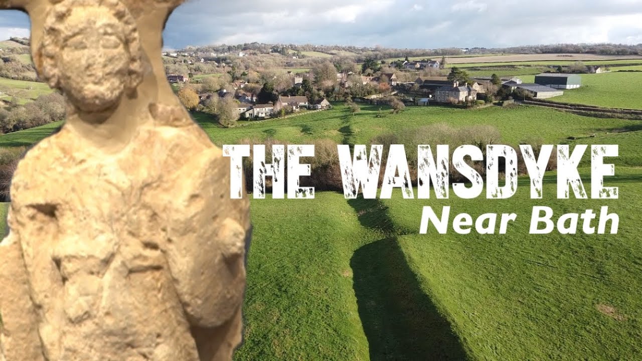
🔎 Stantonbury Camp & Wansdyke: Hillfort or Harbour? | Langdon Investigates
Was Stantonbury Camp really an Iron Age fort? Or are we looking at something far older — and wetter?
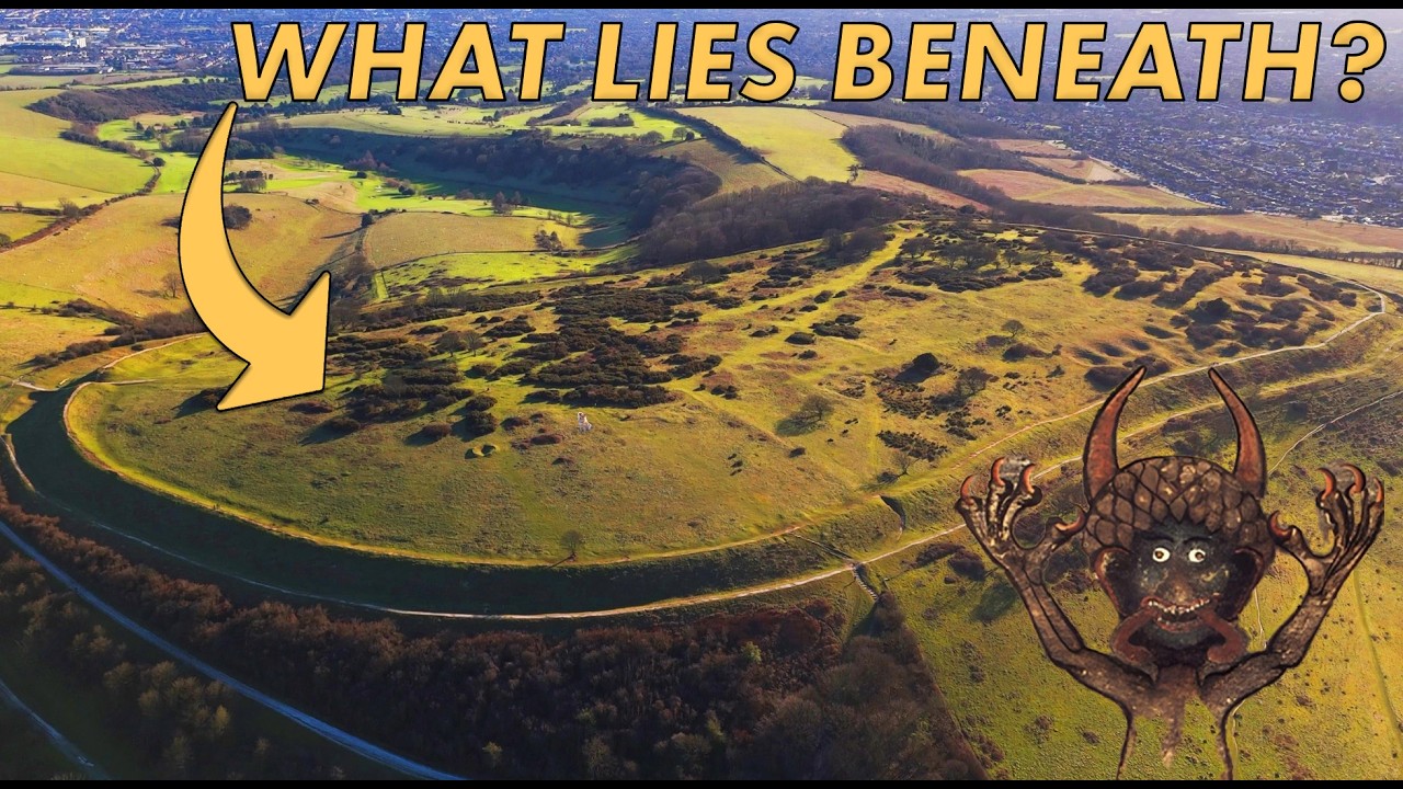
In this episode, Robert John Langdon challenges the outdated classification of “hillforts” by using LiDAR data and common sense to re-examine the earthworks around Stantonbury Camp near Bath. The twist? This site may have originally been a Mesolithic island and later served as a harbour, connected to the ancient linear feature of Wansdyke.
Langdon systematically dismantles the defensive theory:
No palisades
Ditches in illogical locations
No evidence of warfare
And… the occasional defensive ditch facing the wrong way!
Instead, he presents a compelling case that these features were tied to ancient waterways, trade, and settlement, rather than battles. He also explores the reuse of these earthworks by the Romans, adding another layer to the real story of Britain’s prehistory.
Expect:
Wibbly-wobbly paths (a Langdon favourite)
Prehistoric spring-seeking engineers
Archaeological common sense (finally!)
A call to scrap the “Iron Age fort” label once and for all
👁️🗨️ If you're tired of the same tired archaeology narratives, you're in the right place.
#StantonburyCamp #Wansdyke #LangdonInvestigates #LiDARArchaeology #HillfortsMyth #PrehistoricBritain #Mesolithic #AncientEngineering #RewritingHistory #AlternativeArchaeology #LandscapeArchaeology #HiddenHistory #BritishPrehistory #RomanReuse #WateryLandscapes
Website: https://prehistoric-britain.co.uk
Повторяем попытку...

Доступные форматы для скачивания:
Скачать видео
-
Информация по загрузке: