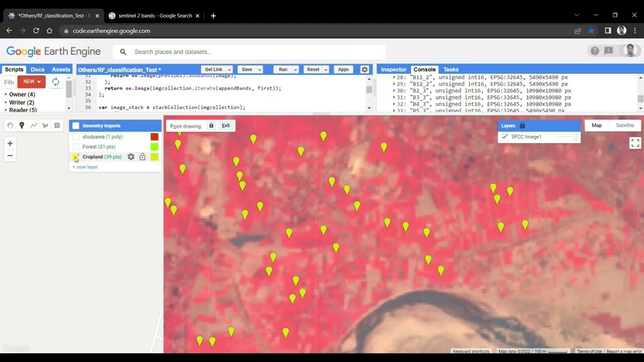
Satellite Image classification Random Forest (RF) Machine Leaning (ML) in Google Earth Engine (GEE)
Автор: Remote Sensing Guide
Загружено: 2022-04-02
Просмотров: 23638
Описание:
Random Forest (RF); Machine Learning (ML); Google Earth Engine (GEE); Satellite Image; Image Classification; Supervised classification in Google Earth Engine; Supervised Classification; Sentinel-2; Image stacking; Accuracy Assessment; Variable Importance; Chart
Random forest (RF) Image Classification Using Google Earth Engine
Please visit our site and get the code, thank you.
https://welcomersgis.blogspot.com/202...
Learn More: https://welcomersgis.blogspot.com
We hope our tutorial has helped you with your research. Please like, Share and subscribe our channel if you like the video.
Повторяем попытку...
Доступные форматы для скачивания:
Скачать видео
-
Информация по загрузке:


