Madrid Spain - Geography of a High Plateau Capital
Автор: Earth Views
Загружено: 2026-01-27
Просмотров: 28
Описание:
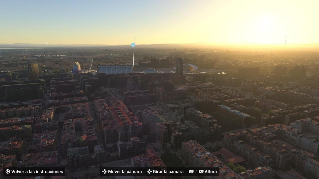
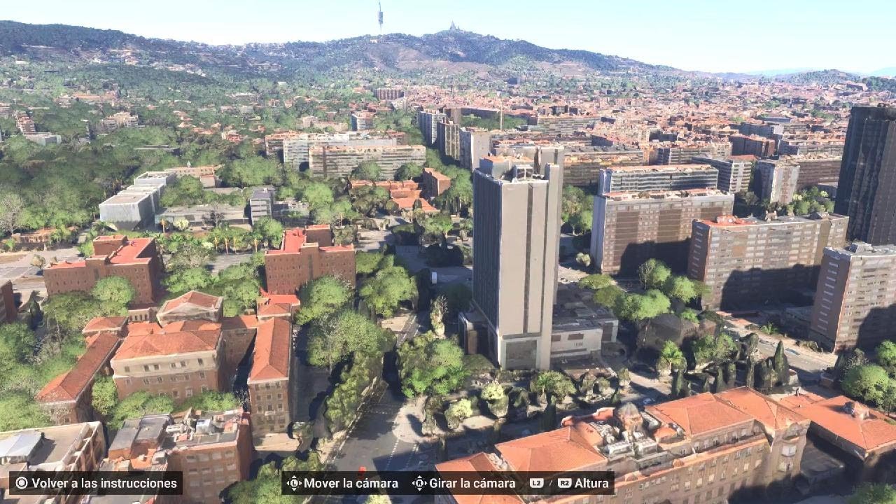
Madrid developed on the Meseta Central, a high inland plateau that shaped its climate, defenses, and political role. Unlike coastal capitals, Madrid’s elevation and central position prioritized control, administration, and land-based connectivity over maritime trade.
Madrid sits at roughly 657 meters (2,156 ft) above sea level, making it one of Europe’s highest capital cities. The surrounding plateau creates large temperature extremes, hot summers, cold winters, and low annual rainfall. The Manzanares River provided limited water resources, requiring engineered solutions for growth. Madrid’s central location allowed it to function as a political and logistical hub rather than a trade port, reinforcing its role as Spain’s administrative capital.
This video uses Google Earth imagery to show how geography shapes cities and sites.
Geography text adapted from Wikipedia, article: Madrid
Licensed under CC BY-SA 4.0
https://en.wikipedia.org/wiki/Madrid
#Madrid #Spain #Geography #Cities #EarthDiscoverExplore
Повторяем попытку...

Доступные форматы для скачивания:
Скачать видео
-
Информация по загрузке: