Скачать
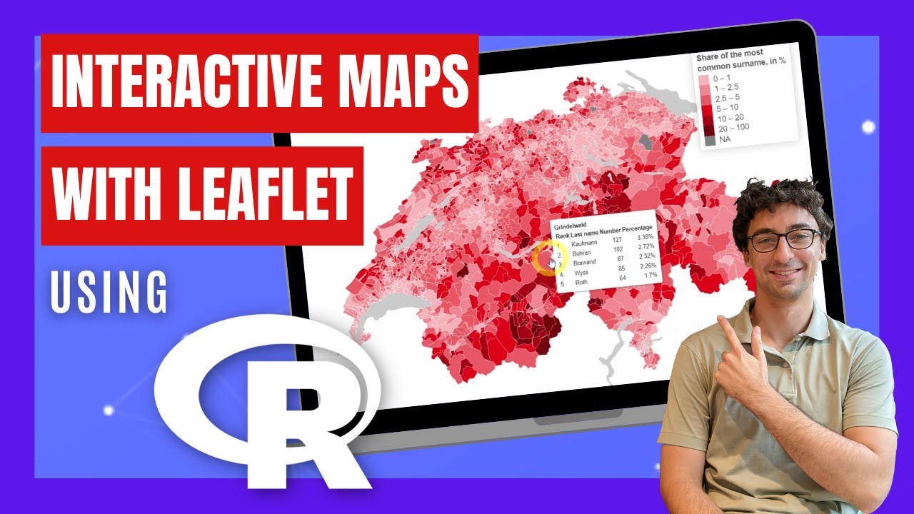
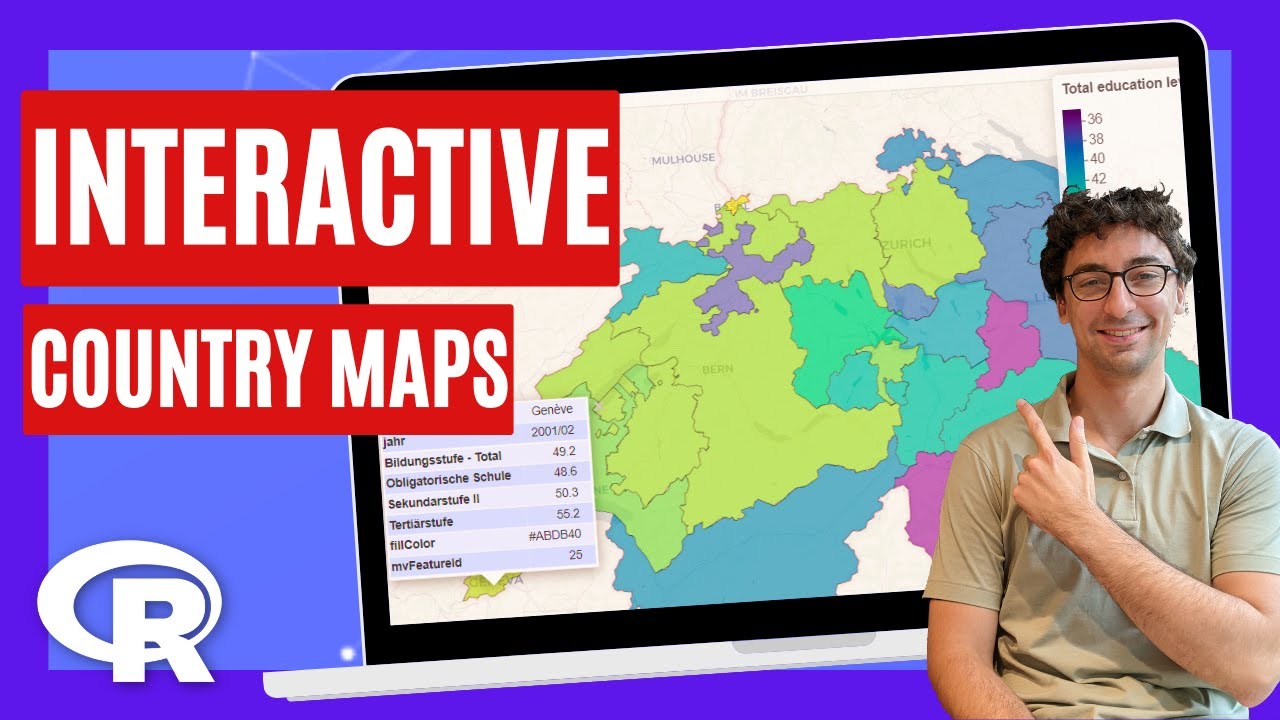
How to Create Interactive Maps for any Country using R
Автор: Felix Analytix
Загружено: 2023-05-23
Просмотров: 5209
Описание:
➡️ Get the code: https://felixanalytix.com
mapview docs: https://r-spatial.github.io/mapview/
Newsletter: https://felixanalytix.substack.com
Twitter: / felixanalytix
Instagram: / felixanalytix
00:00 - Interactive maps of countries using R
01:01 - Install R packages
01:45 - Get Swiss Data
03:34 - Get Country Geographic Data
04:15 - Join Dataset with Geographic Data
05:40 - Create the Interactive Map
06:46 - Synchronize Multipe Maps
08:02 - Interactive Slider to Compare Two Maps
Не удается загрузить Youtube-плеер. Проверьте блокировку Youtube в вашей сети.
Повторяем попытку...
Повторяем попытку...
Доступные форматы для скачивания:
Скачать видео
-
Информация по загрузке: