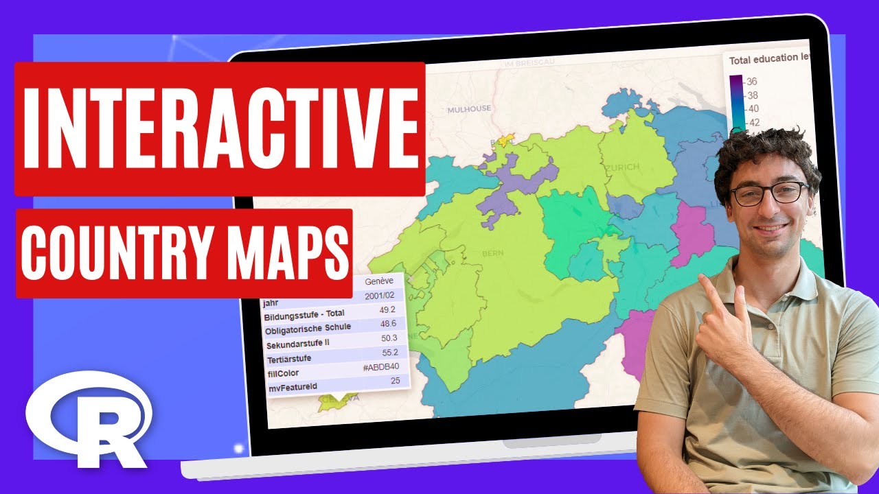
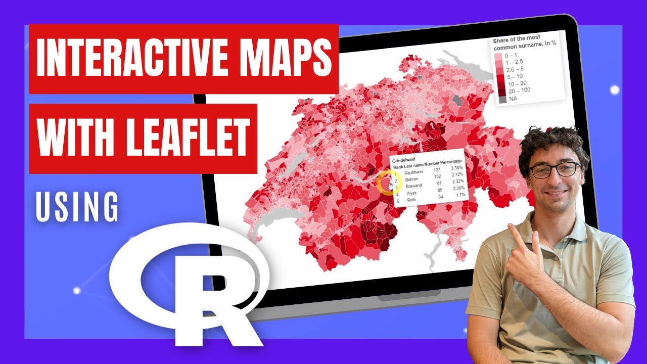
How to FULLY Customize Leaflet Maps using R programming
Автор: Felix Analytix
Загружено: 2023-10-06
Просмотров: 3126
Описание:
➡️ Get the code: https://felixanalytix.com
➡️ Play with the map:: https://felixanalytix.com/vis/swiss-m...
Newsletter: https://felixanalytix.substack.com
Twitter: / felixanalytix
Instagram: / felixanalytix
How to create interactive maps with Leaflet using R programming.
00:00 - Interactive Maps with Leaflet
01:02 - Installing R packages
01:39 - Get Swiss BFS Table Catalog
02:27 - Get BFS Table Metadata
02:41 - Download BFS Swiss Data
03:07 - Data Cleaning with the Tidyverse
03:23 - Create HTML Leaflet Tooltip
04:28 - Download Swiss Geodata
05:10 - Create Customized Leaflet Legend
05:42 - Create Leaflet Chloropeth Map
06:45 - Add Customized Leaflet Tooltip
08:04 - Add Leaflet Legend
08:53 - Control leaflet zooming
10:01 - Set Leaflet Max Bounds with Bounding Box
10:39 - Make Leaflet Background White with R
10:53 - Leaflet Map in an HTML Card
Повторяем попытку...
Доступные форматы для скачивания:
Скачать видео
-
Информация по загрузке: