We Almost Didn’t Chase…Then This Happened
Загружено: 2025-11-13
Просмотров: 3090
Описание:
Join Our Discord Community: / discord
FREE Chaser Safety Ebook: https://stormchasercoaching.com/eight...
FREE Dixie Alley Ebook: https://stormchasercoaching.com/dixie...
Follow Storm Chaser Coaching on Twitter: https://x.com/TornadoCoaching
Follow Trey on Twitter: https://x.com/convchronicles
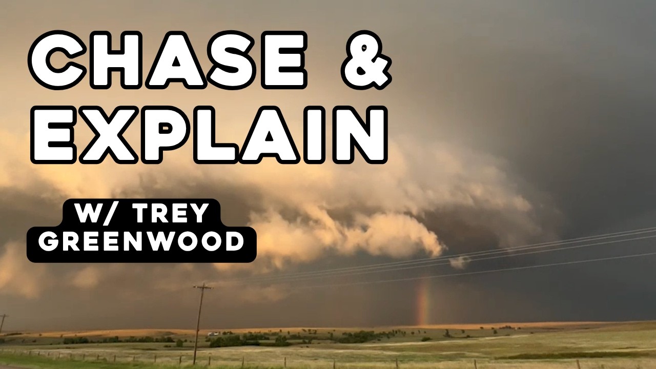
@ConvectiveChronicles takes you inside a tricky early-September setup as a subtle shortwave, lingering morning convection, and a razor-sharp boundary come together to produce a beautifully structured supercell and a picturesque tornado. Watch the full day unfold—from forecast uncertainty to rapid storm organization to an epic intercept on the Kansas–Oklahoma border.
00:00 Morning Forecast & Setup Overview
01:17 Surface Features and Boundary Analysis
03:47 Model Guidance and Target Selection
06:35 Clearing Trend Signals a Chase Day
09:27 Positioning in Woodward and Watching for Initiation
11:42 Ashland Supercell Fires on the Boundary
16:14 Intercept, Wall Cloud, and Tornado Sequence
22:25 Structure Hunting and Evening Storm Decisions
32:35 Storm Weakens and End-of-Day Debrief
This guided walkthrough shows you exactly how to chase storms from the first morning forecast to the final intercept. Starting in Norman, the chaser tracks a subtle setup with a Slight Risk, lingering morning convection, and a sharpening differential heating boundary—a perfect real-world lesson in storm-chasing strategy. As clearing develops and moisture overperforms, the target zone tightens on the northeast Texas Panhandle, where model ensembles highlight the best chance for supercells capable of large hail, strong inflow, and isolated tornadoes.
The walkthrough demonstrates how to evaluate CAM guidance, compare satellite trends against model output, and identify when a storm is firing on a boundary—one of the most essential skills for beginners learning how to chase storms safely and effectively. Once towers explode near Ashland, the chase shifts into real-time radar interpretation, positioning, and escape-route management, including how to stay ahead of a hook echo, avoid large hail cores, and adjust to storm cycling.
The intercept features a classic supercell with a large base, striations, strong inflow, and eventually a tornado near Laverne, Oklahoma. Viewers see how a storm evolves from organized rotation into outflow dominance, how to spot weakening structure, and when to reposition or abandon a storm entirely. Late-day decisions highlight terrain challenges, nighttime hazards, and the discipline required to chase responsibly.
If you want a complete, real-world example of how to chase storms, analyze boundaries, read radar, select targets, and adapt on the fly, this walkthrough shows the entire process from start to finish.
#stormchasing #weather #walkthrough
Повторяем попытку...
Доступные форматы для скачивания:
Скачать видео
-
Информация по загрузке: