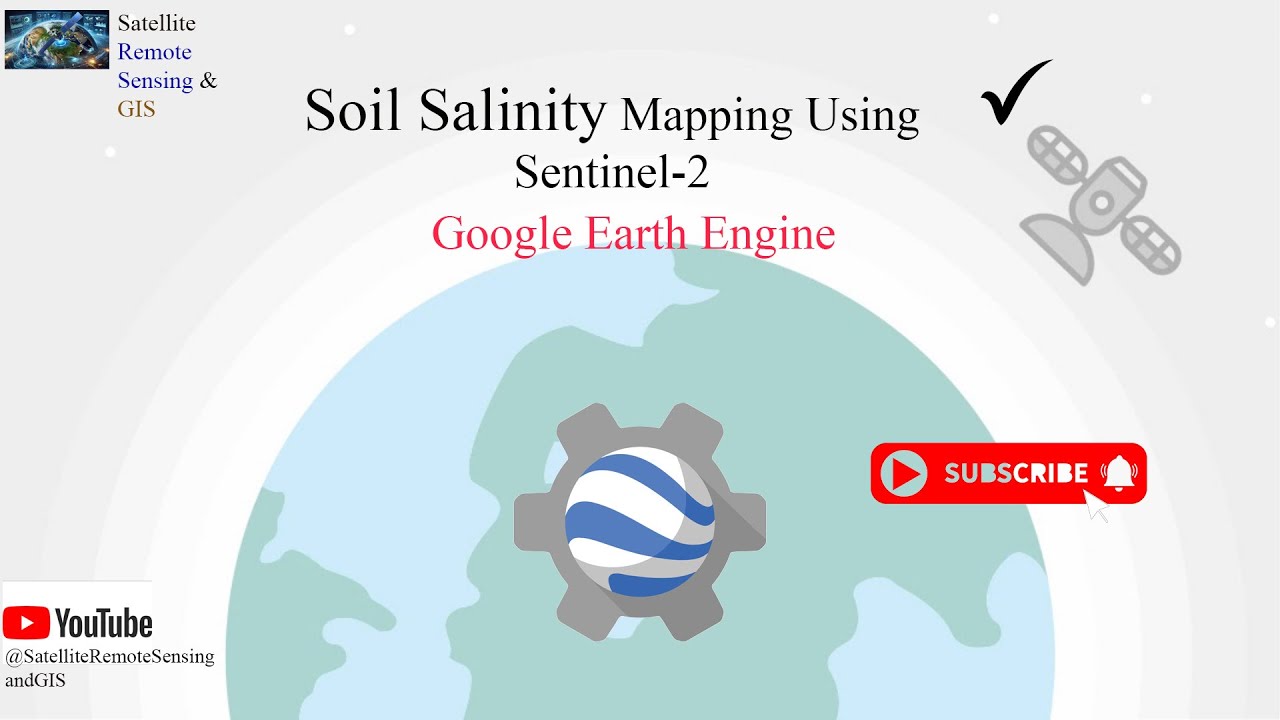
Soil Salinity Mapping Using Machine Learning in Google Earth Engine: Sentinel-2 Data
Автор: Satellite Remote Sensing and GIS
Загружено: 2025-03-31
Просмотров: 679
Описание:
This tutorial demonstrates how to map soil salinity distribution using machine learning and sentinel-2 imagery in Google Earth Engine. The process is divided into three main steps:
1. Estimating Soil Salinity Distribution: Soil salinity was initially estimated using a spectral index derived from sentinel-2 data.
2. Training Data Collection: Training datasets were created based on the calculated soil salinity index to support the modeling process.
3. Mapping with Machine Learning: A machine learning algorithm was employed to produce a comprehensive map of soil salinity distribution.
-------------------------------------------------------------------------------------------------------------
Want to learn more about Google Earth Engine? See here: / @satelliteremotesensingandgis
-------------------------------------------------------------------------------------------------------------
Join this channel to get access to Satellite Remote Sensing and GIS:
URLL: / @satelliteremotesensingandgis
-------------------------------------------------------------------------------------------------------------
Linkedin: / satellite-remote-sensing-and-gis-2bba07355
-------------------------------------------------------------------------------------------------------------
Here, you can find a bunch of videos exploring the efficiency of Google Earth Engine: / @satelliteremotesensingandgis
-------------------------------------------------------------------------------------------------------------
#googleearthengine #soil #SatelliteRemoteSensingandGIS #salinity
Повторяем попытку...

Доступные форматы для скачивания:
Скачать видео
-
Информация по загрузке:


![Best of Deep House [2026] | Melodic House & Progressive Flow](https://imager.clipsaver.ru/Il-ZpBuC8tA/max.jpg)


![[LIVE] Bez cenzury. Weto w sprawie programu SAFE. Płk WR0ŃSKI i Jan PIŃSKI na żywo](https://imager.clipsaver.ru/1FxZ5P6g75M/max.jpg)