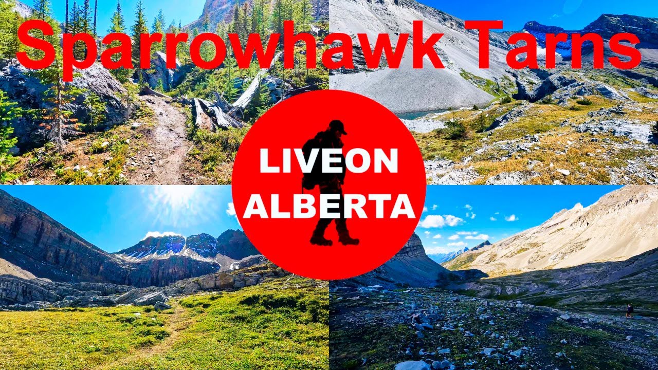
MAGICAL & MAGICAL Hike: Sparrowhawk Tarns
Автор: LIVEON ALBERTA
Загружено: 2024-09-14
Просмотров: 1455
Описание:
The Sparrowhawk Tarns hike is a moderately challenging trail located in Kananaskis Country, Alberta, Canada. This hike offers a mix of forest paths, boulder fields, and stunning alpine meadows, making it a favorite among hikers. Canadian Rockies Hike.
August 31/2024 Summer Hike, Alberta Canada
Today we are in Kananaskis Country, Alberta Canada. We will be hiking up to the Sparrowhawk Tarns. The trail is 14.6 kilometers (9.1 miles) out and back with an elevation gain of 782 meters (2570 feet). Our maximum elevation was 2424 meters (7950 feet). We started our hike at 9:30AM and finished at 7:30PM. Our total time was 10 hours. The trailhead is in the Sparrowhawk Day Use Area. The parking lot is a pretty good size.
The trail starts right across the road from the parking lot. Before you enter the trees, you have a beautiful view of Spray Lakes to your right. You will enter the trees, and the trail has a gradual elevation. Just over .8k you will come up to a lookout spot. Here there are a couple of benches. There is a split in the trail here. The trail to your right will take you to a gorgeous waterfall. After seeing the waterfall we made our way back to the intersection and took the trail on our left. The trail will now get a little steeper. Soon the trail will open up to your left and you will be looking up at a cliff. Now the trail will get a little rockier. The trail eases up a little bit here. Soon you will meet up with a creek to your right and there are a few beautiful little waterfalls. The creek will be on your right as you continue up the trail for a short time. You will break away from the creek and the trail will get a little steeper again. Eventually the trail will open up and you will have views of the mountains on each side of you. The trail will level off here and you will have a little creek crossing. Just over 3.9k you will arrive at the boulder field. Turn right here and go up the right side of the boulder field. Now the trail will get steeper and rockier. As you make your way up the boulder field look behind you as you will now get a great view looking back. Soon you will enter an area filled with Larch Trees. At the end of September these trees will turn from green to a golden yellow. The trail will once again level off for a short time, but then it will get steeper again. When you think you are done with the boulder field, think again you will have another big portion ahead of you. In this portion the boulders are a lot bigger. There are many different routes up through this boulder field so keep your eyes peeled for the easiest route. Be careful walking on top of the boulders. At around 5.6k you will crest a hill and the view in front of you is just stunning. You will be looking up a cirque with a waterfall coming down it and a tarn on your left. You will also have an awesome 360 view here. We had a quick rest here. If this was the end of the hike, I would not have been disappointed. Just right of here there are supposed to be some fossil beds. We continued up the right side of the valley. The view in front of us was just magical. The trail will take you down a bit and level out. Soon you will have to scramble up a few rocky outcrops and you will arrive at a beautiful meadow with a stream flowing through it. This area was stunning. Around 6.8k you will see a waterfall up ahead of you. Start by hiking up the right side of the waterfall. The trail gets steep here. About 1/3 of the way up the waterfall there will be a trail taking you left across the creek. Kim and Bill went this way. All Trails say to continue up the right side of the waterfall which is what I did. It was very steep and slippery. Take the trail to your left, it’s a lot easier. Once you get to the top of the waterfall you will come up to a lot of rocky outcrops. Keep making your way up through them. It’s like a maze here. You will now see numerous tarns around you. There is a little clearing here where people have made a table and chairs out of the rocks. On the table are all sorts of fossils. At 7.6k you will arrive at the furthest tarn. Unfortunately, the water was brown due to the recent snowfall that occurred. Across from this tarn were a couple massive waterfalls coming down. We enjoyed our lunch here and I had my beer. Now it was time to head back. I went down the way Kim and Bill came up and it was a lot easier. On our way out I managed to get a few pictures of a Marmot and a Pika. I can't say enough about this hike.
This is my 150th video. Thank you very much for watching. If you enjoyed this video, please give it a thumbs up. If you would like to see my other hiking videos, subscribe to my channel, LIVE ON ALBERTA. I feature over 145 hiking videos. CHEERS
Thank you,
Cary Mason
#hikingalberta #travelalberta #summerhike #hiking
Email – [email protected]
Instagram – / carywmason
Повторяем попытку...
Доступные форматы для скачивания:
Скачать видео
-
Информация по загрузке:


