Archicad - Create a 3D Terrain from Contour Lines (Digital Terrain Model Tutorial)
Автор: TopoExport
Загружено: 2025-07-27
Просмотров: 1298
Описание:
👉 TopoExport : https://topoexport.com/
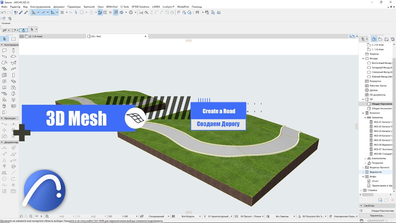
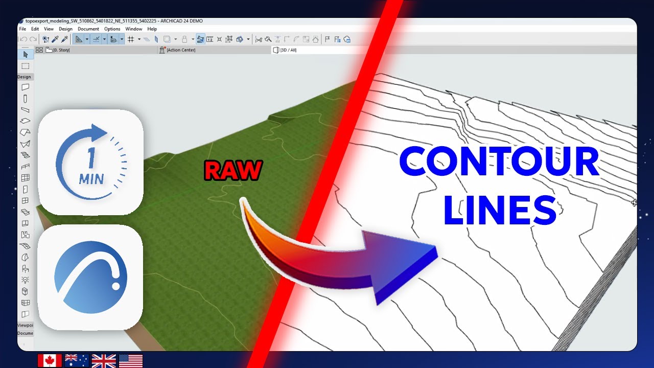
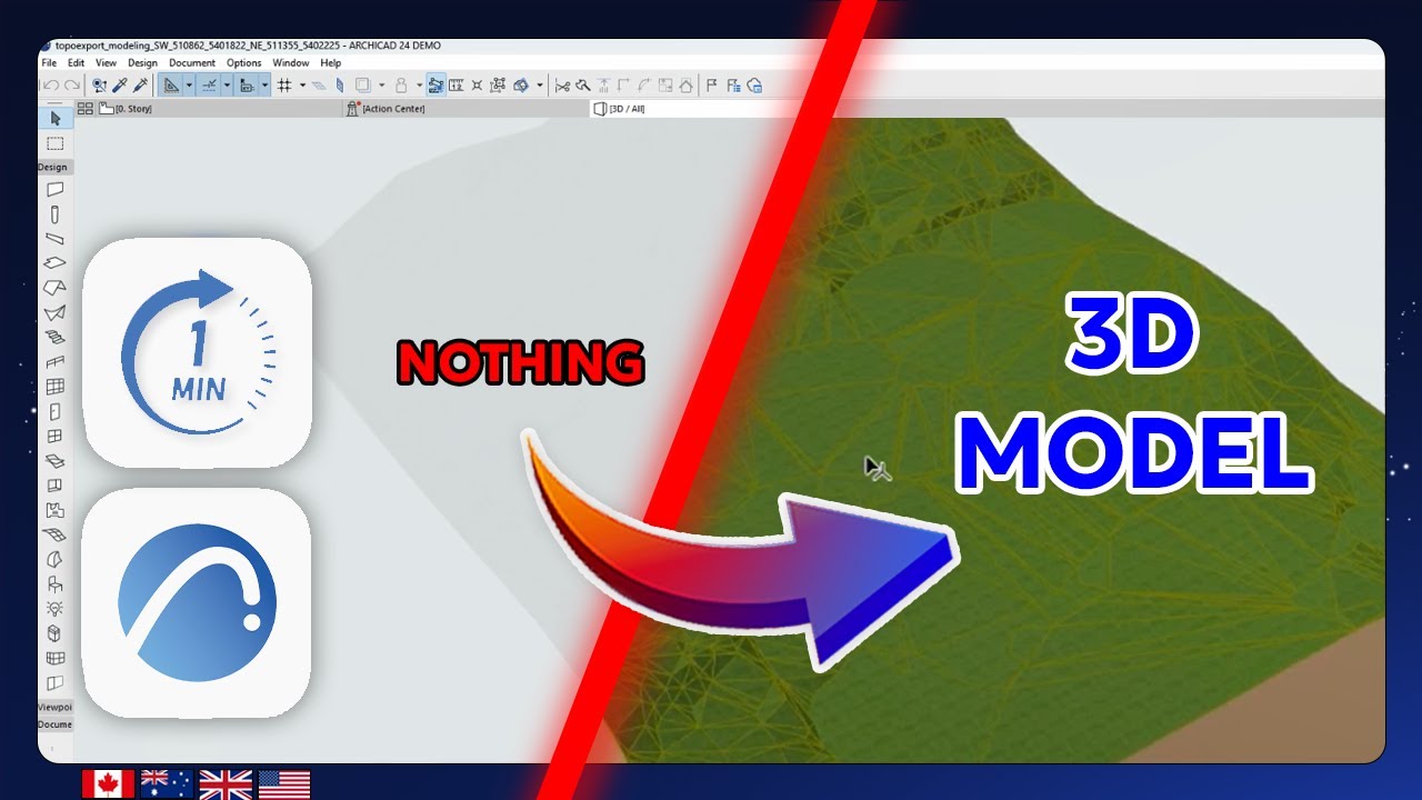
In this Archicad tutorial you'll learn how to build a 3D Digital Terrain Model (DTM) from contour lines using Archicad and DXF files from TopoExport.com your go to platform for precise topographic data and vector layers.
This step-by-step guide covers:
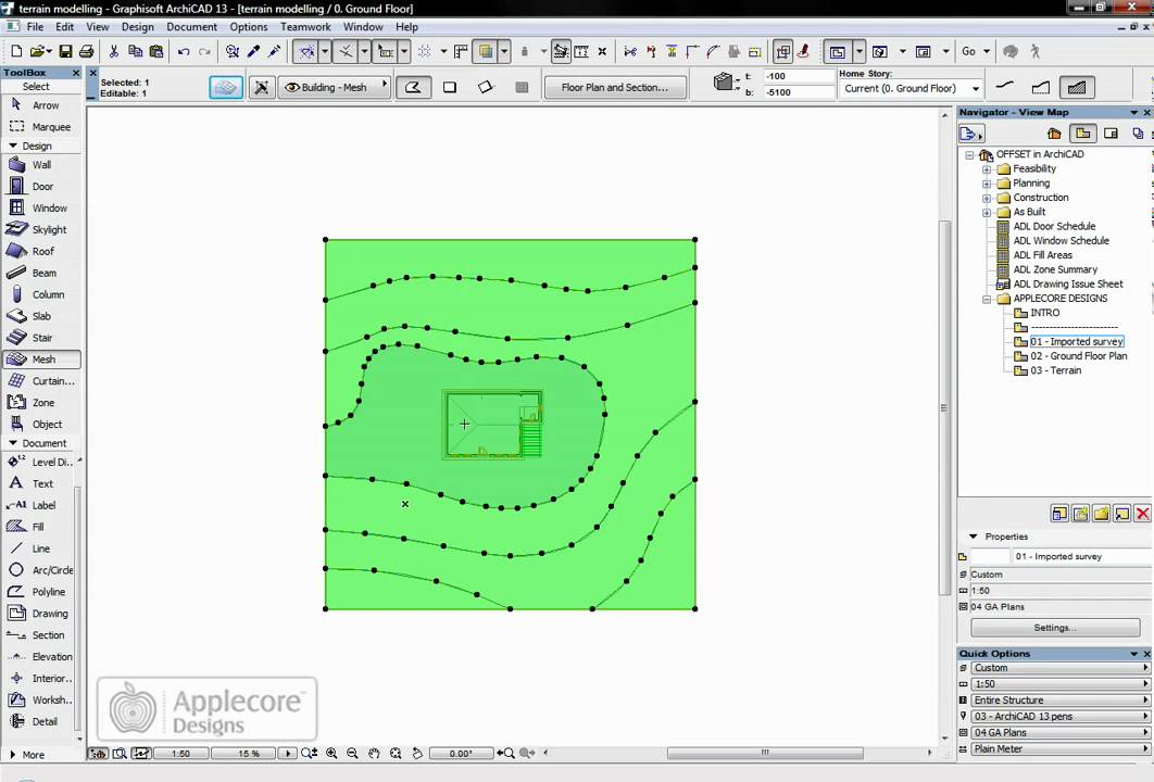
Importing DXF contour lines into Archicad
Adjusting layer visibility and working units
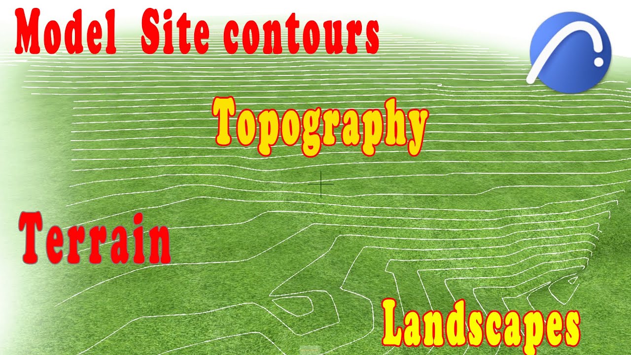
Using the Mesh Tool to convert 2D contours into a 3D model
Assigning elevations to each contour line for accurate terrain modeling
Ideal for architects urban planners and landscape designers who want to integrate real-world topography into their BIM workflow.
👉 TopoExport : https://topoexport.com/
📷 Instagram : / topoexport
🎵 TikTok : / topoexport
👔 LinkedIn : / topoexport
📌 Pinterest : https://www.pinterest.fr/topoexport/
✉️ E-mail : [email protected]
#topoexport #archicad26 #archicad25 #Archicad #CAD #BIM #Architectural #UrbanPlanning #TopographicModel #ArchicadTutorial #CityModel
Повторяем попытку...
Доступные форматы для скачивания:
Скачать видео
-
Информация по загрузке: