Archicad - Create Native 3D Contour Lines from a DXF Terrain (Accurate DTM Modeling)
Автор: TopoExport
Загружено: 2025-07-27
Просмотров: 691
Описание:
👉 TopoExport : https://topoexport.com/
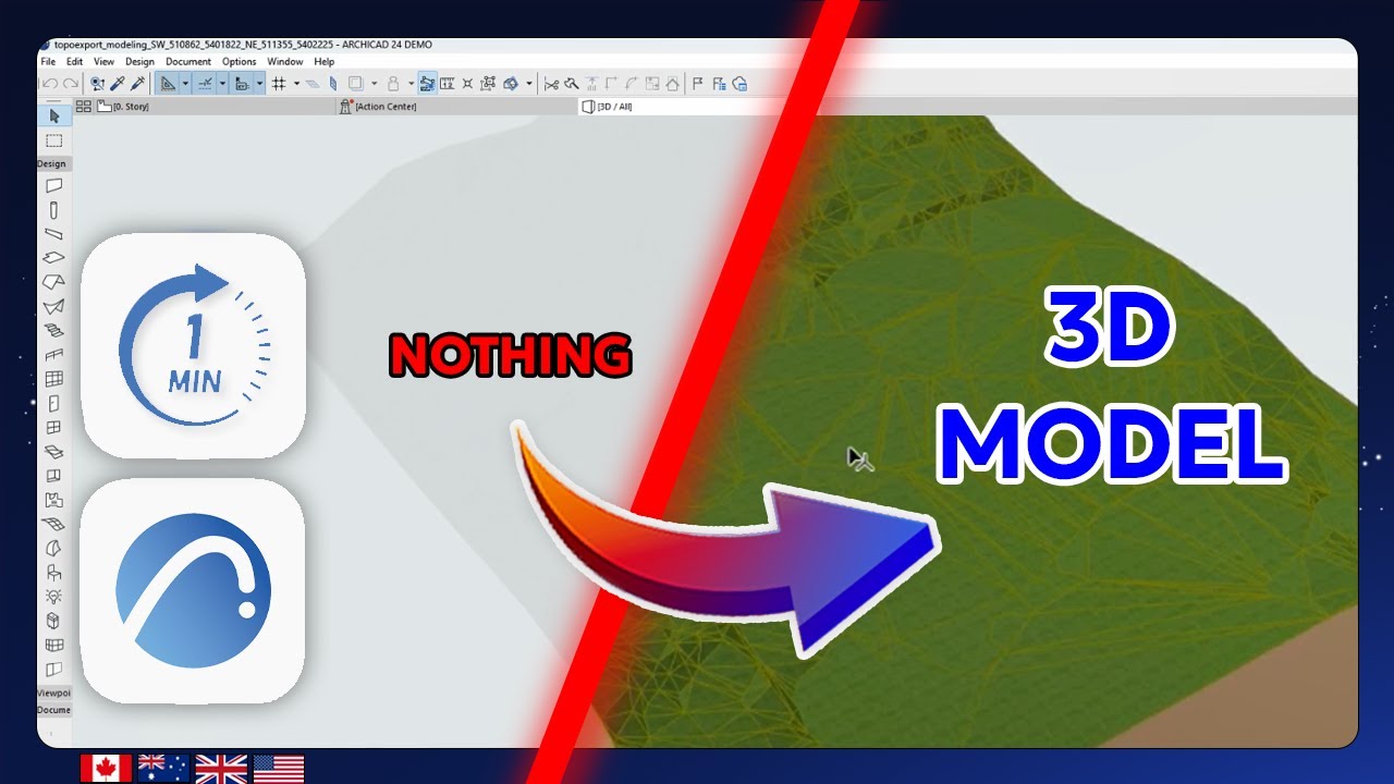
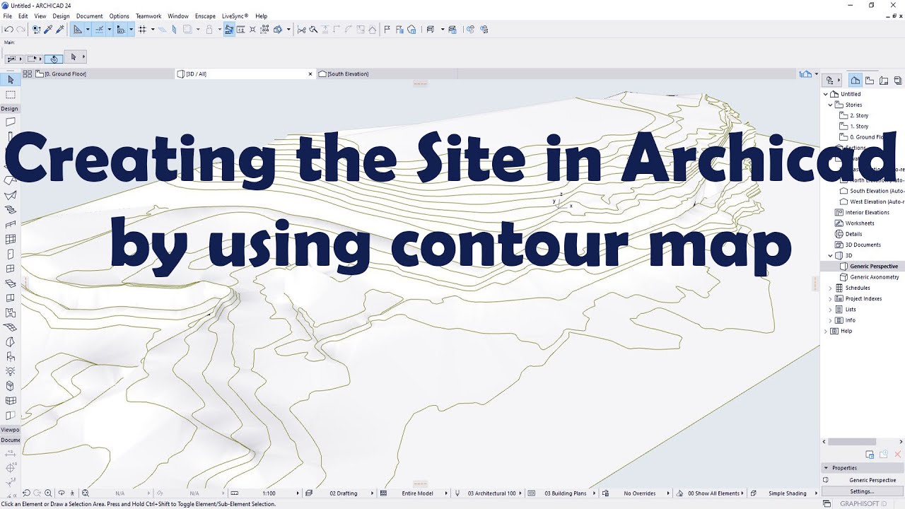
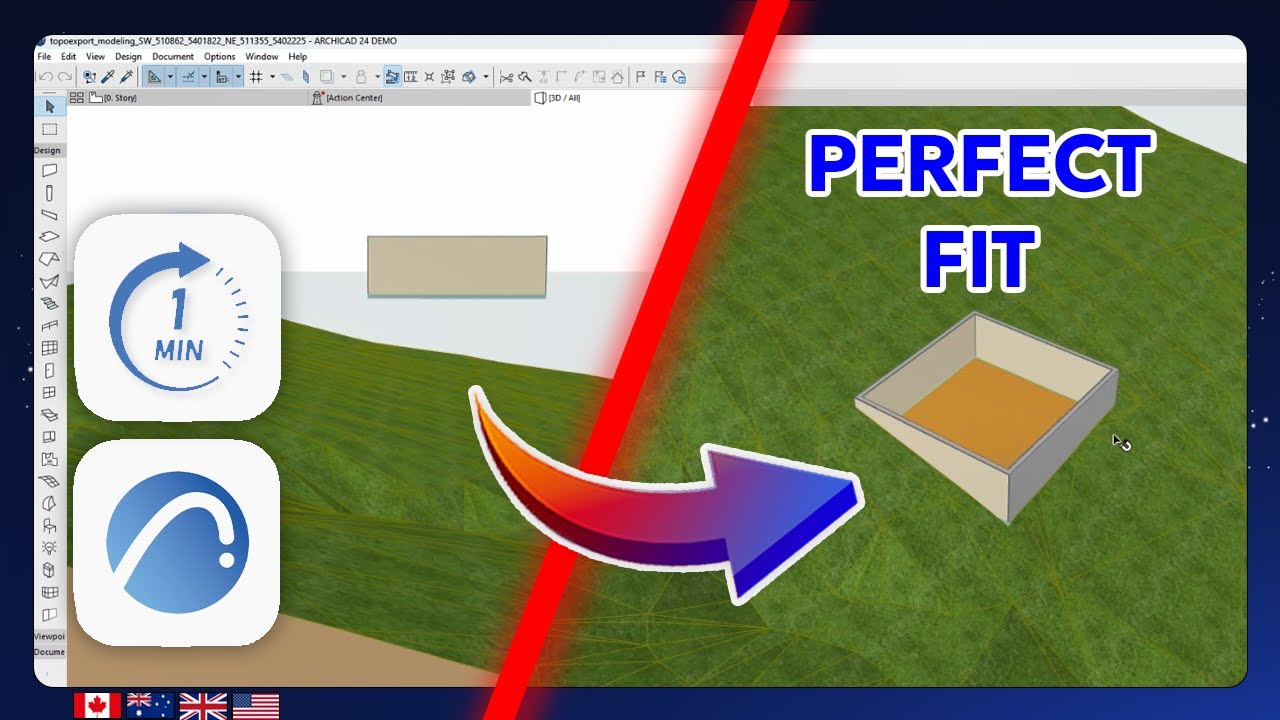
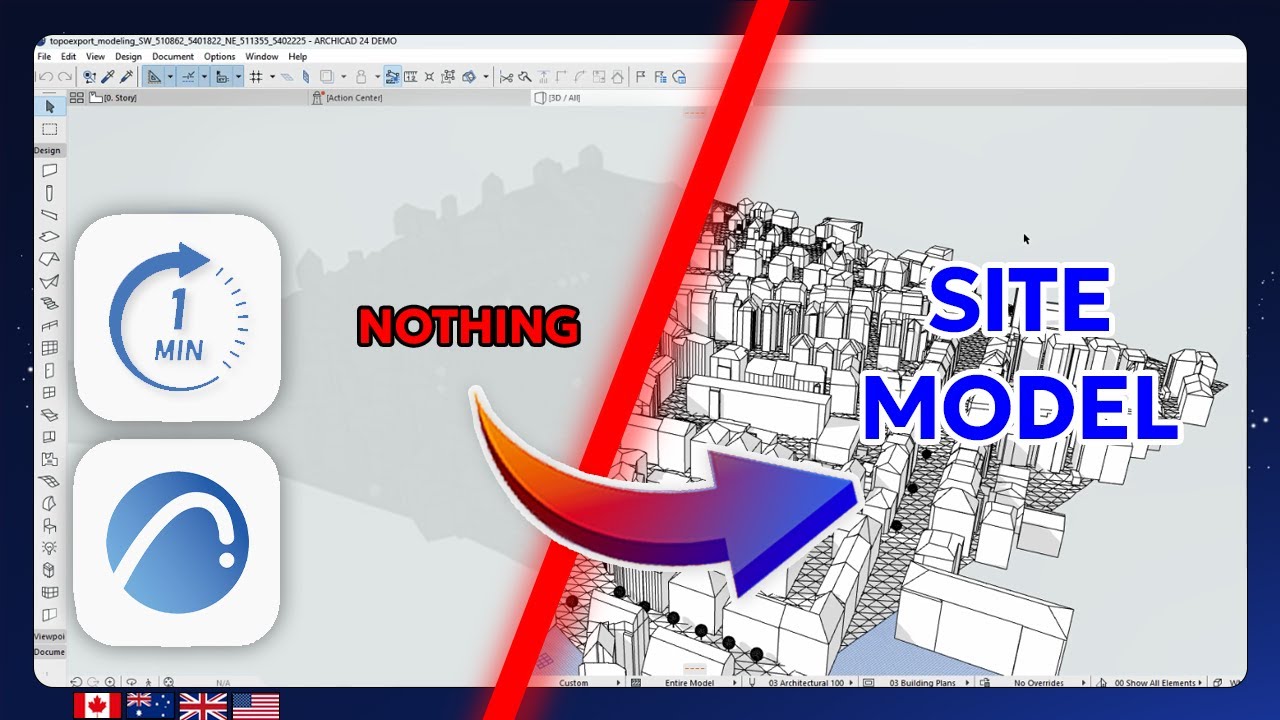
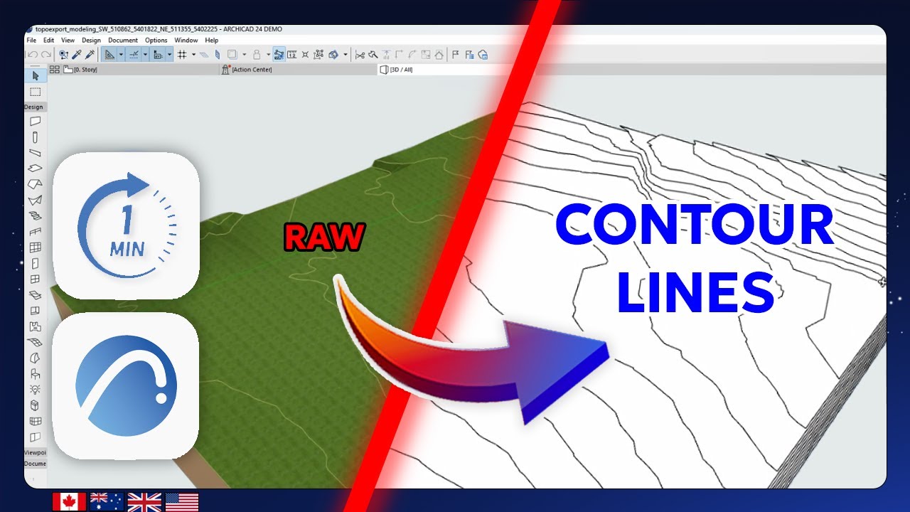
In this Archicad tutorial you'll learn how to extract and generate native 3D contour lines from a terrain model imported via DXF. The data used in this workflow comes from TopoExport.com a platform that provides architects and designers with high-resolution 3D topographic data.
This step-by-step guide covers:
Creating a grid of horizontal cutting planes using the Morph and Multiply tools
Intersecting those planes with your 3D terrain mesh
Converting intersections into editable 3D contour lines
Styling and cleaning your output for presentation or further design
Ideal for professionals working on landscape architecture site modeling or any BIM workflow that requires clean native topographic lines.
👉 TopoExport : https://topoexport.com/
📷 Instagram : / topoexport
🎵 TikTok : / topoexport
👔 LinkedIn : / topoexport
📌 Pinterest : https://www.pinterest.fr/topoexport/
✉️ E-mail : [email protected]
#topoexport #archicad26 #archicad25 #Archicad #CAD #BIM #Architectural #UrbanPlanning #TopographicModel #ArchicadTutorial #CityModel
Повторяем попытку...
Доступные форматы для скачивания:
Скачать видео
-
Информация по загрузке: