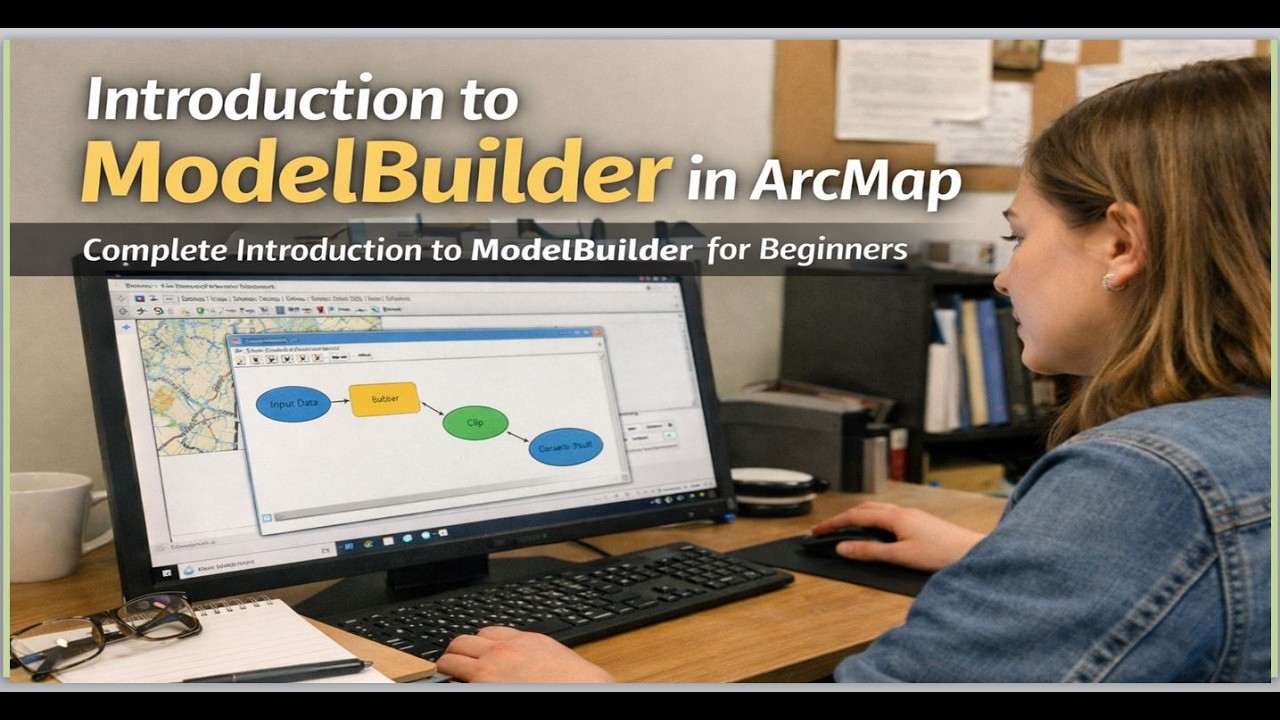
Introduction to ModelBuilder in ArcMap: Complete Introduction to ModelBuilder for Beginners
Автор: Geojay GIS Solution
Загружено: 2026-02-17
Просмотров: 28
Описание:
#ModelBuilder #ArcMap #GIS #GeospatialAnalysis #BeginnersGuide #DataVisualization #MappingTools
In this comprehensive video, we introduce you to ModelBuilder in ArcMap, a powerful tool for creating and managing geoprocessing workflows. Designed specifically for beginners, this tutorial will guide you through the fundamental concepts of ModelBuilder, helping you understand how to automate tasks and visualize your geospatial data workflows effectively. You'll learn how to create models step-by-step, integrate various tools, and optimize your processes for efficient data analysis. Whether you’re a student, a professional, or a GIS enthusiast, this video equips you with essential skills to enhance your mapping projects. Join us as we simplify the complexities of ModelBuilder, unlocking new possibilities in your GIS journey! Don’t forget to like, share, and subscribe for more informative content!
Buy me a coffee here: https://buymeacoffee.com/geojay
For business and enquiries: WhatsApp+2347065365193 or Email: [email protected]
WhatsApp Group: https://chat.whatsapp.com/CvvLBo7Yisg...
Facebook Group: / 1fn4oqzn1l
Related videos:
How to save your Model in ArcGIS Pro: • How to save your Model in ArcGIS Pro
How to Create Multiple Models in ArcGIS Pro ModelBuilder: • How to Create Multiple Models in ArcGIS Pr...
How to Change Model Name In ArcGIS Pro: Edit Model in ArcGIS: • How to Change Model Name In ArcGIS Pro: Ed...
SPECIAL GIS MODULES FOR YOU:
Groundwater Potential Analysis in GIS A Complete Module: https://buymeacoffee.com/geojay/e/498877
Geo-Referencing, Digitization and Data Attribution in GIS: https://buymeacoffee.com/geojay/e/478159
How To Produce Geological Map Shapefile or Generate Geology Shapefile of any Area: https://buymeacoffee.com/geojay/e/478816
Normalized Difference Vegetation Index (NDVI) Calculation and Reclassification: https://buymeacoffee.com/geojay/e/481012
ModelBuilder, ArcMap, GIS, Geospatial, Geoprocessing, Mapping, Spatial Analysis, Data Analysis, Beginners Guide, Tutorial, Map Making, ArcGIS, Automation, Workflows, Data Management, Geography, Cartography, Spatial Data, Environmental Science, Remote Sensing, Raster Data, Vector Data, GIS Tools, Data Visualization, Geographic Information System, Modeling, Programming, Scripting, Analysis Tools, Geospatial Analysis, Data Science, Land Use, Spatial Queries, Data Layers, ArcGIS Tutorials, Model Building, Training, Educational, Mapping Software, ArcMap Tutorial, Geospatial Data, GIS Fundamentals, ModelMaker, ArcGIS Pro, Project Management, Data Processing, Data Mining, GIS for Beginners, Learning GIS, Geographic Modeling, Spatial Technologies, Field Mapping, Data Collection, Digital Mapping, Data Integration, Urban Planning, Wildlife Management, GPS, Remote Sensing Techniques, Spatial Relationships, 3D Mapping, Analysis Techniques, Model Optimization, Streamlining Workflows, Automation Tools, GIS Analysis, Spatial Modeling, Environmental Management, Surveying, Land Surveying, Terrain Analysis, Data Structures, Analysis Steps, Data Compilation, Software Training, Satellite Imagery, Essential Skills, Visualizing Data, Data Tools, Programming for GIS, ArcGIS Desktop, Data Formats, Data Sources, Scientific Mapping, Geographic Techniques, Data Interpretation, Geographic Analysis, Practical GIS, Online Learning, GIS Skills, Educational Content, Video Tutorials, Model Design, Mapping Techniques, Automated Analysis, Work Process, GIS Applications, Spatial Problem Solving, Technical Skills, Cartographic Design, Project Development, Spatial Logic, Geographic Solutions, Field Data, ArcGIS Online, Advanced GIS, Data Efficiency, Methodologies, Hands-On Learning, Map Automation, Spatial Integration, Analysis Workflows, Data Representation, Model Thinking, Interactive Maps, Problem-Solving Techniques, Geospatial Techniques, GIS Community, Learning Path, Academic GIS, Professional Development, Data Quality, Geographic Research, Case Studies, Interactive Learning, Software Applications, GIS Education, User-Friendly GIS, Essential GIS Skills, Course Content, Mapping Fundamentals, Exploration, Research Techniques, Coastal Mapping, Urban GIS, Resource Management, Infrastructure Mapping, Agriculture, Forest Management, Biodiversity, Land Use Planning, Electronics Mapping, Data Representation Techniques, Decision Making, Natural Resources, Collaborative GIS, Community Mapping, Tools for Analysis, Visual Communication, Geo-Processing, GIS Data, Mapping Resources, Critical Thinking, Model Validation, User Experience, Data Visualization Techniques, Basic GIS, Learning Tools, Practical Applications, Statistical Analysis, Data Security, Accessible GIS, Mapping Datasets, Coordinate Systems, Spatial Techniques, GIS Workshops, Advanced Techniques, Planning and Design, Geospatial Solutions.
Повторяем попытку...
Доступные форматы для скачивания:
Скачать видео
-
Информация по загрузке: