Publicly available geophysical data in the Gulf of Mexico
Автор: Visualization Lab // Alexey Portnov
Загружено: 2018-10-10
Просмотров: 2313
Описание:
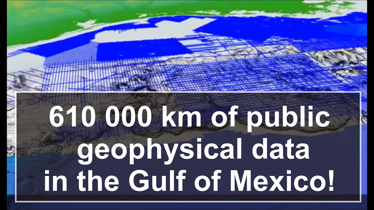
It is amazing how much open-access geophysical data are available in the US Gulf of Mexico: 605 717 km of 2D seismic, which is nearly a round trip from Earth to Moon and 74 000 km sq of 3D seismic coverage, which is close to the area of Ireland. In addition to this, the entire northern Gulf of Mexico features fantastic bathymetry grid with the resolution of 12 m and thousands of wells with log data available for download. Such an excellent database provides wealth of information about the unique geology of the Gulf of Mexico for students and scholars all over the World. Don’t miss you chance!
Useful links:
https://walrus.wr.usgs.gov/namss/
for seismic data
https://www.boem.gov/Gulf-of-Mexico-D... for bathymetry data
https://www.data.bsee.gov
for well data
Credits
For this video I used BOEM Northern Gulf of Mexico Deepwater bathymetry grid, General Bathymetric Chart of the Oceans (GEBCO), 2D and 3D seismic data available at https://walrus.wr.usgs.gov/namss/
Video is produced using Petrel, Fledermaus, Corel Draw, Google Earth and Filmora software
Повторяем попытку...
Доступные форматы для скачивания:
Скачать видео
-
Информация по загрузке: