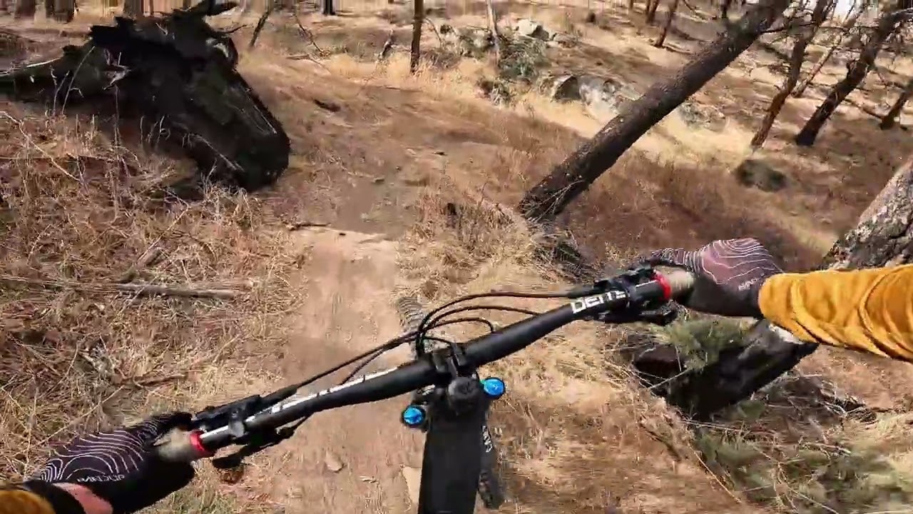
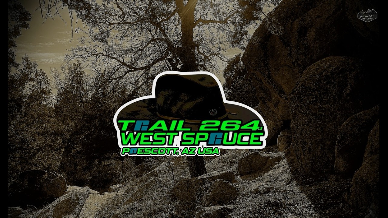
TRAIL 264.1 - WEST SPRUCE | PRESCOTT, AZ USA - MOUNTAIN BIKING | COPPER BASIN TRAILS
Автор: goMTB prescottAZ
Загружено: 2026-02-15
Просмотров: 173
Описание:
Trail 264.1 aka West Spruce is a Copper Basin area trail. A shrubby blue rated trail that is approximately three (3) miles each way. This trail can stay wet and muddy in spots. To the south it starts/ends at Copper Basin dirt road, and to the northwest it starts/ends at Thumb Butte dirt road (GPS links below). Trail(s) 744 (Sparrow), 366, 9401J, and 9707T all intersect with this trail. Trail(s) 9402D, 741, and 742 are just across Copper Basin dirt road at the south end. There is free dirt parking at both ends of this trail. South parking is quite large, while the northwest end has the space for just a few vehicles.
There are three 264/West Spruce trails. This one (.1), (.2) which continues on across Thumb Butte dirt road to forest service road FS47B, and .3 that goes from FS47B to the old Peavine West near Dosie pit. I ride all three in my Western Rail Loop video ride ( • WESTERN RAIL LOOP Prescott, AZ MTB |324|39... ).
Have a great ride. -- goMTB prescottAZ.
264.1 START - South to northwest: 00:40
264.1 Back - Northwest to south: 26:16
Season Rode/Recorded: WINTER
Please see my channel's "About" page for the intent of this channel. / @gomtbprescottaz9685
Companion trail map used: • Companion trail map used Mountain Biking P...
goMTB playlist(s): / @gomtbprescottaz9685
264.1 Start GPS: 34.498954, -112.541173
https://duckduckgo.com/?q=34.498954+-...
264.1 Back GPS: 34.510539, -112.557289
https://duckduckgo.com/?q=34.510539+-...
Повторяем попытку...
Доступные форматы для скачивания:
Скачать видео
-
Информация по загрузке: