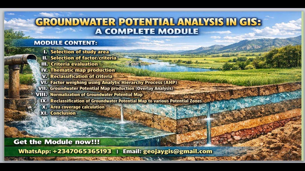
Groundwater Potential Analysis in GIS Complete Module 2026 | Upgrade Your GIS Skills
Автор: Geojay GIS Solution
Загружено: 2026-01-18
Просмотров: 88
Описание:
#GroundwaterAnalysis #GISSkills #SpatialAnalysis #GeospatialMapping #DataVisualization
In this comprehensive module, we delve into Groundwater Potential Analysis using GIS, designed to enhance your geospatial skills for 2026 and beyond. This tutorial guides you through crucial techniques for assessing groundwater resources, including data gathering, spatial analysis, and visualization methods.
You’ll learn how to utilize various GIS tools to create effective models that identify potential groundwater zones
Outline of the module
i. Selection of study area
ii. Selection of factor/criteria
iii. Criteria evaluation
iv. Thematic map production
v. Reclassification of criteria
vi. Factor weighing using Analytic Hierarchy Process (AHP)
vii. Groundwater Potential Map production (Overlay Analysis)
viii. Normalization of Groundwater Potential Map
ix. Reclassification of Groundwater Potential Map to various Potential Zones
x. Area coverage calculation
xi. Conclusion
Get the complete module from here: https://buymeacoffee.com/geojay/e/498877
Whether you're a beginner or looking to refine your skills, this video provides valuable insights for professionals in environmental science, hydrology, and resource management. Don’t forget to like, subscribe, and enable notifications for more advanced GIS tutorials!
Buy me a coffee here: https://buymeacoffee.com/geojay
For business and enquiries: WhatsApp+2347065365193 or Email: [email protected]
Groundwater potential, GIS, spatial analysis, hydrological modeling, geospatial skills, groundwater analysis, data visualization, geographic information systems, groundwater mapping, water resources, GIS tutorial, groundwater assessment, data management, environmental science, map creation, water resource management, hydrogeology, GIS applications, analytical methods, data integration, instructional video, water quality, modeling techniques, groundwater recharge, GIS training, surveying, groundwater exploration, environmental monitoring, technical skills, data accuracy, mapping techniques, field data collection, community resources, resource management, decision support systems, engineering geology, predictive modeling, groundwater sustainability, landscape analysis, analytical tools, remote sensing, user experience, digital mapping, project management, survey data, aquifer characterization, watershed analysis, data interpretation, geological mapping, water resource assessment, digital resources, groundwater modeling, statistical analysis, forecasting, public health, community engagement, educational resources, technical documentation, data processing, hazard mapping, software capabilities, empirical analysis, environmental monitoring, public trust, stakeholder engagement, groundwater contamination, restoration projects, long-term planning, groundwater resources, groundwater studies, scientific research, educational content, risk assessment, monitoring systems, environmental assessments, groundwater flow, community development, integrated projects, water table mapping, climate impact studies, real-time data, mapping software, interactive mapping, natural resource management, hydrology, research methodologies, soil mapping, water demand forecasting, public engagement, data trends, capacity building, disaster management, groundwater policies, project deliverables, groundwater extraction, socioeconomic impacts, climate change adaptation, impact assessments, government policies, analysis techniques, data standards, land use planning, environmental justice, visibility analysis, hydrological data, site assessments, environmental education, community initiatives, mapping frameworks, groundwater models, automated mapping, visualization tools, geospatial software, aquifer mapping, resource allocation, geotechnology, information management, environmental legislation, comparative studies, groundwater resources management, decision-making frameworks, project insights, groundwater vulnerability, GIS research, interdisciplinary studies, flood risk mapping, registration and documentation, education, software integration, database management, comprehensive assessments, user feedback, groundwater strategies, demand management, sustainable practices, groundwater exploration techniques, digital innovation, workshop development, practical applications, training modules, scenario analysis, visualization principles, academic resources, field methodologies, groundwater regulations, risk mitigation strategies, project scope.
Facebook Group: / 1fn4oqzn1l
Повторяем попытку...
Доступные форматы для скачивания:
Скачать видео
-
Информация по загрузке: