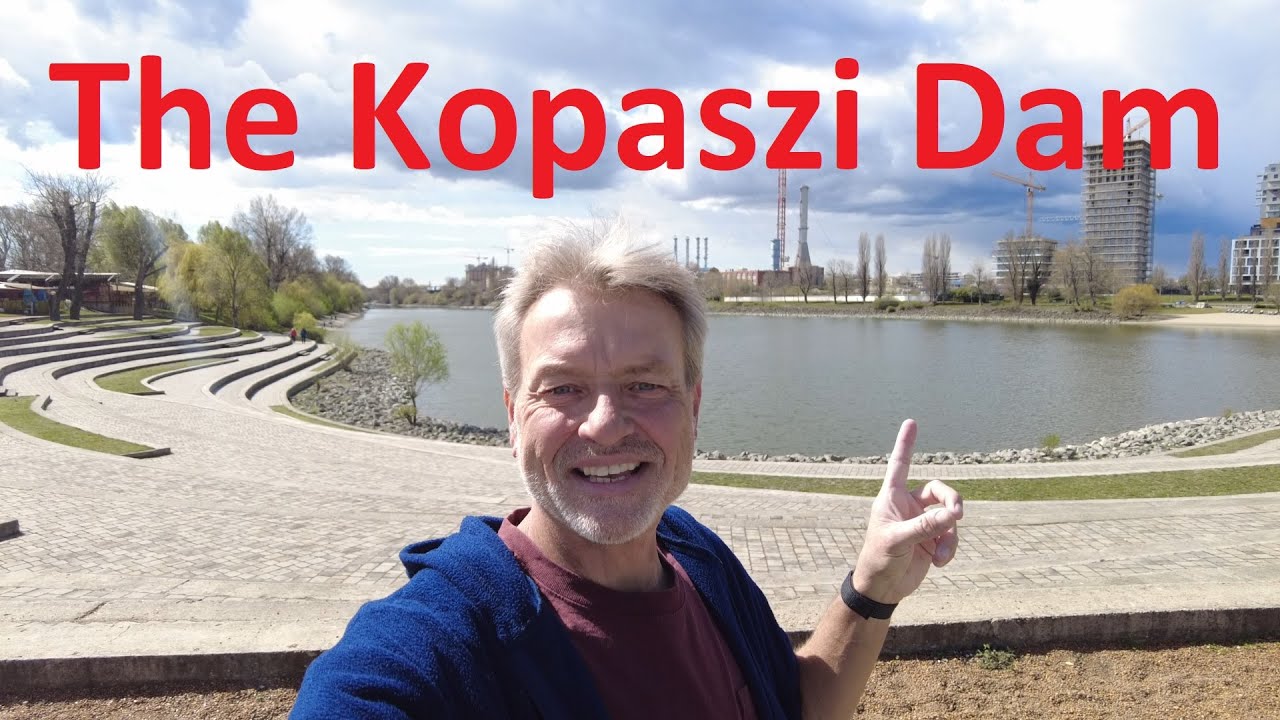
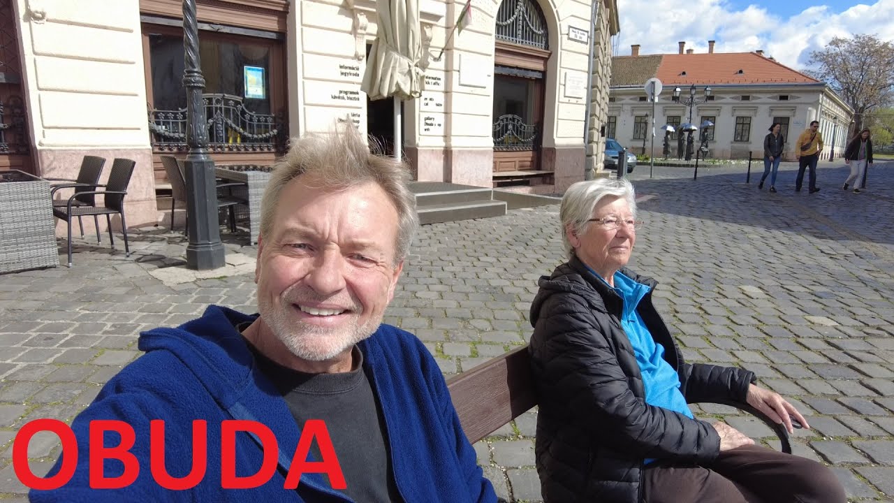
Óbuda, united with Buda and Pest to form Budapest! - Budapest Hungary - ECTV
Автор: Eric Clark's Travel Videos
Загружено: 2023-03-25
Просмотров: 643
Описание:
It is Budapest part of Óbuda in district III. The area of the current part of the city includes only a small part of the former city of Óbuda, which was united with Buda and Pest in 1873 under the name Budapest.
The pre-unification area of Óbuda extended to almost all the districts of today's III. district, except Békásmegyer and Csillaghegy, which formed the municipality of Békásmegyer, and Újlak and Mátyáshegy, which belonged to Buda. The area of the current Óbuda district corresponds only to the inner area of the former city at the end of the 19th century.
Its boundaries: the Danube River to Nagyszombat Street – Nagyszombat Street[2] – Vienna Road – Vörösvári Road – Hévizi Road – Bogdáni Road to the Danube River.
The neighbouring districts are Kaszásdűlő and Aquincum in the north, Óbudai Island on the other side of the Danube branch in the east, and Margaret Island in the south, which forms a separate part of the city. Újlak is located in the south and the hills of Óbuda in the west.
The Romans established Aquincum, the northeastern centre of their province of Lower Pannonia, in today's Transdanubia. The military camp was established in the area of Óbuda, while the related civil town was located north of it, in the area of Aquincum district. The military amphitheater was probably used by Prince Árpád's co-leader, Kursan, after the Hungarian conquest. Contrary to this widely held opinion in the literature, according to Gyula Kristó, the toponym Kursan Castle in the area of medieval Óbuda has nothing to do with the conquering prince, who was called Kusal or Kusanes, but we have to look behind the name for the eponymous ancestor of the Kursan-Kartal clan who owned the area in the Middle Ages.[3]
In 1189 he was hosted in the royal curia of Óbuda by King Alexander III. King Bela defeated Emperor Frederick I (Barbarossa) on a crusade.
The construction of the queen's castle was probably started in the second decade of the 13th century by King Andrew II.[4] In 1290, Andrew III held the National Assembly here, which resulted in the publication of the program in Óbuda.
In 1343 Louis I (the Great) donated the castle of Óbuda to his mother, Elisabeth. Presumably, this step led to the division of Óbuda in 1355, since until then the king had paid the chapter of Óbuda one mark of gold per year. The border district born during the partition of the city is one of the most important sources of the medieval topography of Óbuda.[5] The northern part of the city remained in the possession of the chapter. The southern half, together with the royal castle of Óbuda, became the property of Queen Elisabeth, then the current Hungarian queens. The city seal, known from the second half of the 14th century, probably depicts the eagle of the queen's castle and the House of Piast, which referred to the role of Elisabeth. Due to the increasing importance of nearby Buda, Óbuda could not become a city of national importance in the late Middle Ages.
At the end of the 14th century, King Sigismund founded a university in the chapter district.
In 1526, the victorious Ottoman-Turkish army in the Battle of Mohács occupied Buda. The army set up camp near Óbuda, and the city was burned. During the siege of Buda in 1529, the Ottoman-Turkish army again camped near Óbuda, which again plundered the city. It finally fell into Turkish hands in 1541, together with the capture of Buda.
The town was continuously inhabited during the Turkish occupation – with the exception of 1596–1606 and 1684–88, but from then on it was not a town (civitas), but a market town (oppidum) or village (possessio).[6]
The settlement was owned by the Zichy family from 1659 to 1765 (István Zichy Sr. until 1671, István Zichy Jr. until 1700, Péter Zichy until 1726, Zsuzsanna Bercsényi until 1745, Miklós Zichy until 1758, and finally Erzsébet Berényi), after which it again belonged to the chamber.[7]
During the resettlement after the end of Turkish rule, the settlement was enriched with numerous Baroque buildings. It was then that the contemporary settlement structure consisting of narrow, winding streets was formed.
In the flood of 1838, more than half of the houses collapsed, and another 40% were damaged to varying degrees, but there were no fatalities. (The latter may be due to the fact that many residents had boats to go to markets.) During the subsequent reconstruction, terraced houses instead of combs became typical in the central part of the city, and multi-storey houses also appeared.
My name is Eric Clark and I am a world traveler. I have been around the world a few times and decided to help fund my travels by sharing my videos and pictures. I have been to almost every country and would be glad to give tips and pointers. Drop me a note. = )
Повторяем попытку...
Доступные форматы для скачивания:
Скачать видео
-
Информация по загрузке:
![Budapest, Hungary 🇭🇺 Walking in Óbuda next to the Aquincum [17 min] 4K HDR](https://imager.clipsaver.ru/aVc8X31gbyU/max.jpg)


![Budapest City Center 2024 | District 5 - Budapest's High Street - [4K] Walking Tour](https://imager.clipsaver.ru/ZLCUP4Sb_lw/max.jpg)