Bulgaria's archaeological past and digital future: Non-destructive methods, GIS and AI
Автор: AeGIS Athena - Archaeological GIS Laboratory
Загружено: 2026-02-16
Просмотров: 56
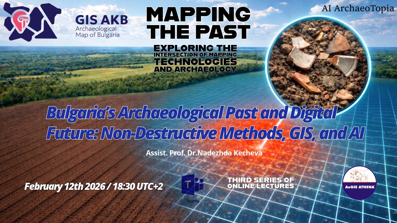
Описание: In the first Lecture of 2026, for our "Mapping the Past" series 12th February. we kindly welcome Nadezhda Kecheva, Assist. Prof. Dr. of the National Archaeological Institute with Museum, Bulgarian Academy of Sciences. Non-destructive research strategies, particularly systematic surface surveys, remote sensing, and geophysical prospection, form the backbone of modern archaeological documentation. These field methods rely on Geographic Information Systems (GIS) to transform raw data into a structured spatial record, enabling complex landscape analysis and site distribution modeling. In Bulgaria, these methodologies find their practical realization within the national archaeological information system “Geographic Information System Archaeological Map of Bulgaria” (GIS AKB). As the centralized national archaeological system, the GIS AKB integrates these datasets to standardize the recording of immovable cultural heritage and facilitate effective resource management. Building on this digital infrastructure, the newly initiated AI ArchaeoTopia project (No КП-06-Н100/5 from 10.12.2025 financed by BNSF) further expands these capabilities by applying Artificial Intelligence to automatically detect burial mounds from historical topographic maps.
Повторяем попытку...
Доступные форматы для скачивания:
Скачать видео
-
Информация по загрузке:


![🔴 EXPRESS BIEDRZYCKIEJ | ALEKSANDRA LEO, TOMASZ SŁOMKA [NA ŻYWO]](https://imager.clipsaver.ru/yhE0UAESOfg/max.jpg)