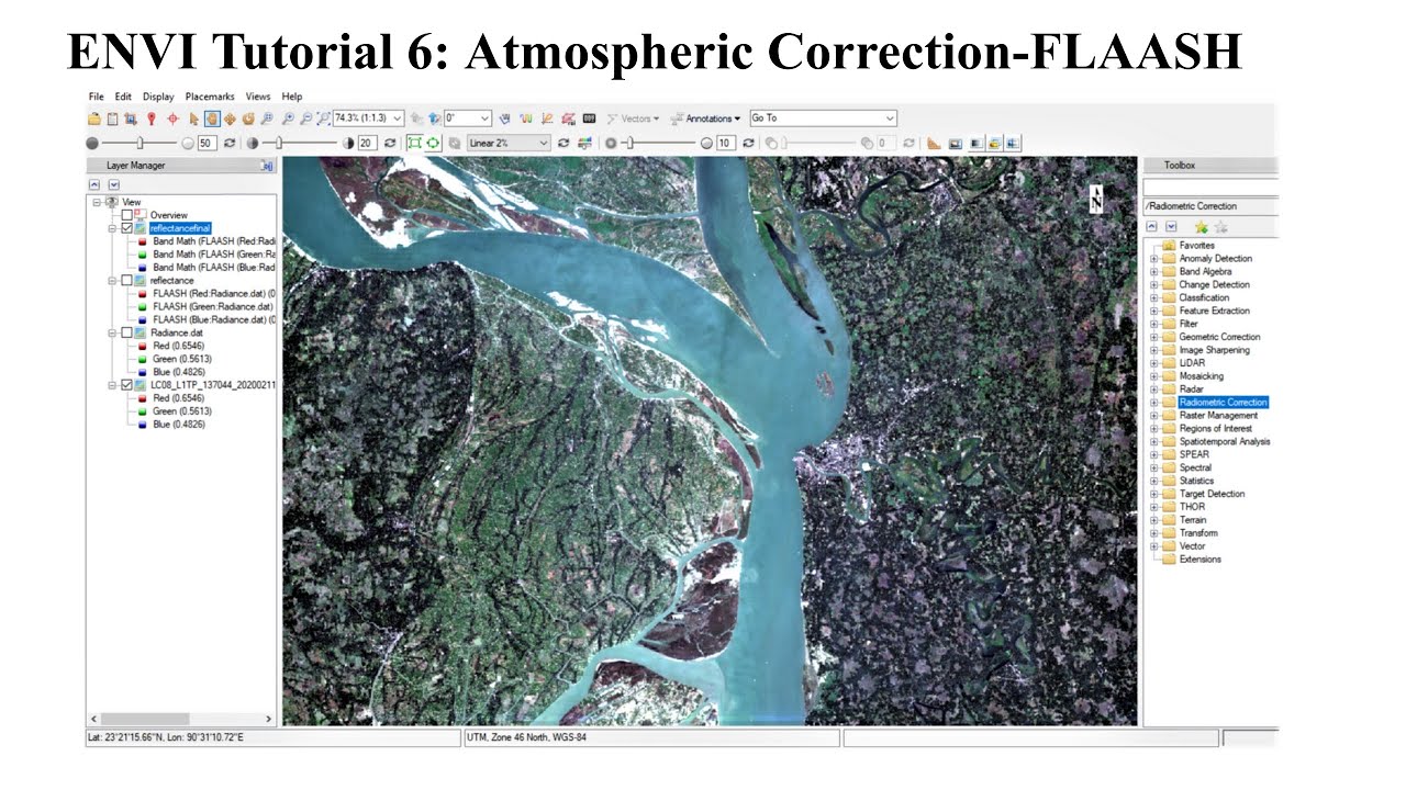
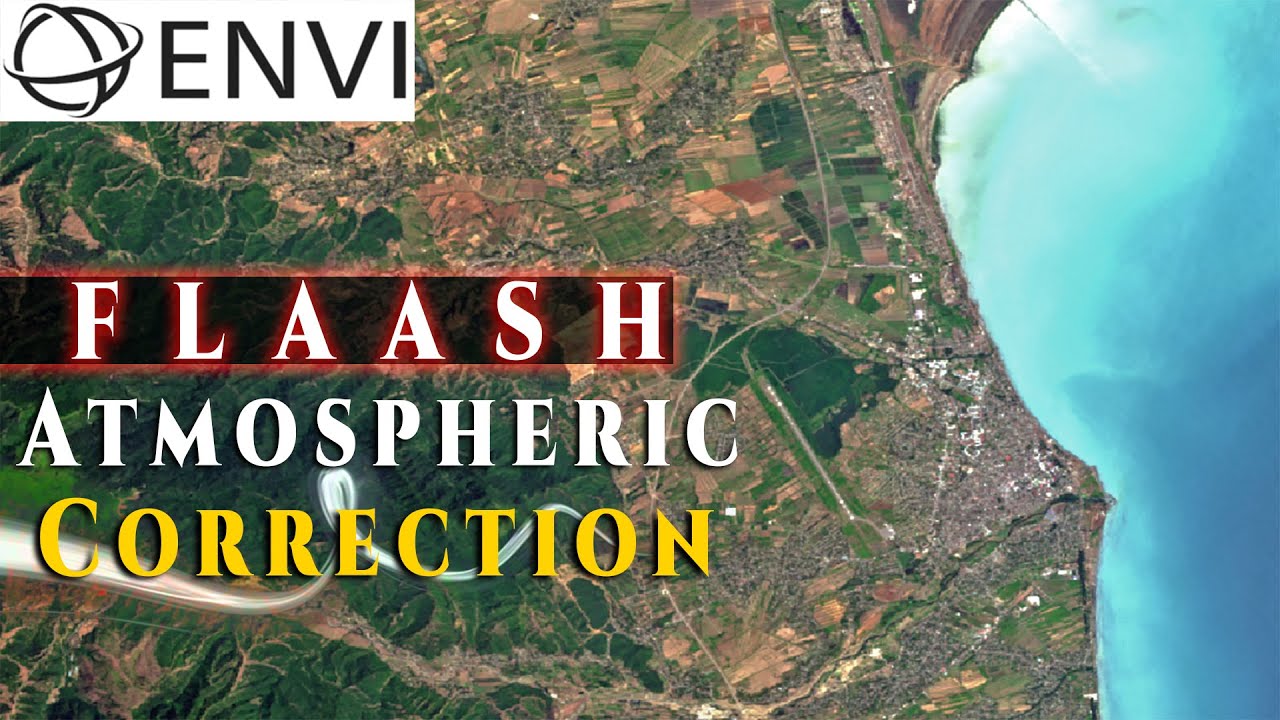
FLAASH Atmospheric Correction of Landsat-8 Image in ENVI
Автор: RS & GIS
Загружено: 2022-06-22
Просмотров: 4711
Описание:
FLAASH Atmospheric Correction of Landsat-8 Image in ENVI is what we've talked about in this video. But let's have some explanation:
➡ The objective of atmospheric correction is to determine true surface reflectance values by removing atmospheric effects from satellite images. Atmospheric correction is arguably the most important part of the pre-processing of satellite remotely sensed data and any omission produces erroneous results.
______
➡ FLAASH is a first-principles atmospheric correction tool that corrects wavelengths in the visible through near-infrared and shortwave infrared regions, up to 3 µm. FLAASH is An option to compute scene-average visibility (aerosol/haze amount). FLAASH uses the most advanced techniques for handling particularly stressing atmospheric conditions, such as the presence of clouds.
______
Watch the video and see how it is applied to Landsat 8 images in the Envi.
As Always, Ask your questions about the video in the comment section.
-------------------------------------------------------------------------------------------
Subscribe to our channel and Like the video:
✅ / @rsgis6997
_ _ _ _ _ _ _ _ _ _ _ _ _ _ _ _ _ _ _ _ _ _
Share the video with others:
✅ • FLAASH Atmospheric Correction of Landsat-8...
=========================================================
Timeline:
00:00 - Introduction
00:15 - Open Landsat 8 Image
01:05 - Radiometric Calibration
03:28 - FLAASH Atmospheric Correction
08:06 - Surface Reflectance
=========================================================
#rsandgis #gis #ENVI #Landsat #Landsat8 #FLAASH #FLAASH_Atmospheric_Correction #Atmospheric_Correction #Image #Images #processing RS & GIS
Повторяем попытку...
Доступные форматы для скачивания:
Скачать видео
-
Информация по загрузке: