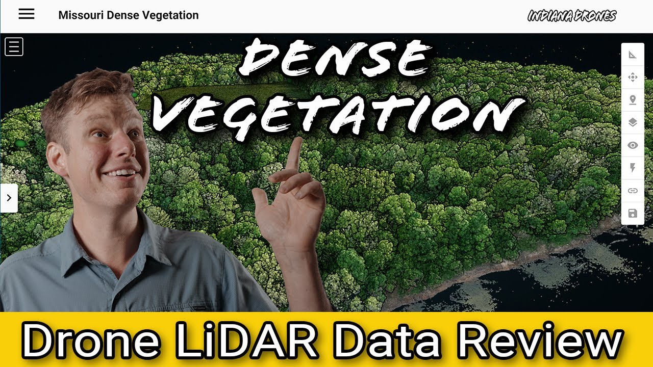
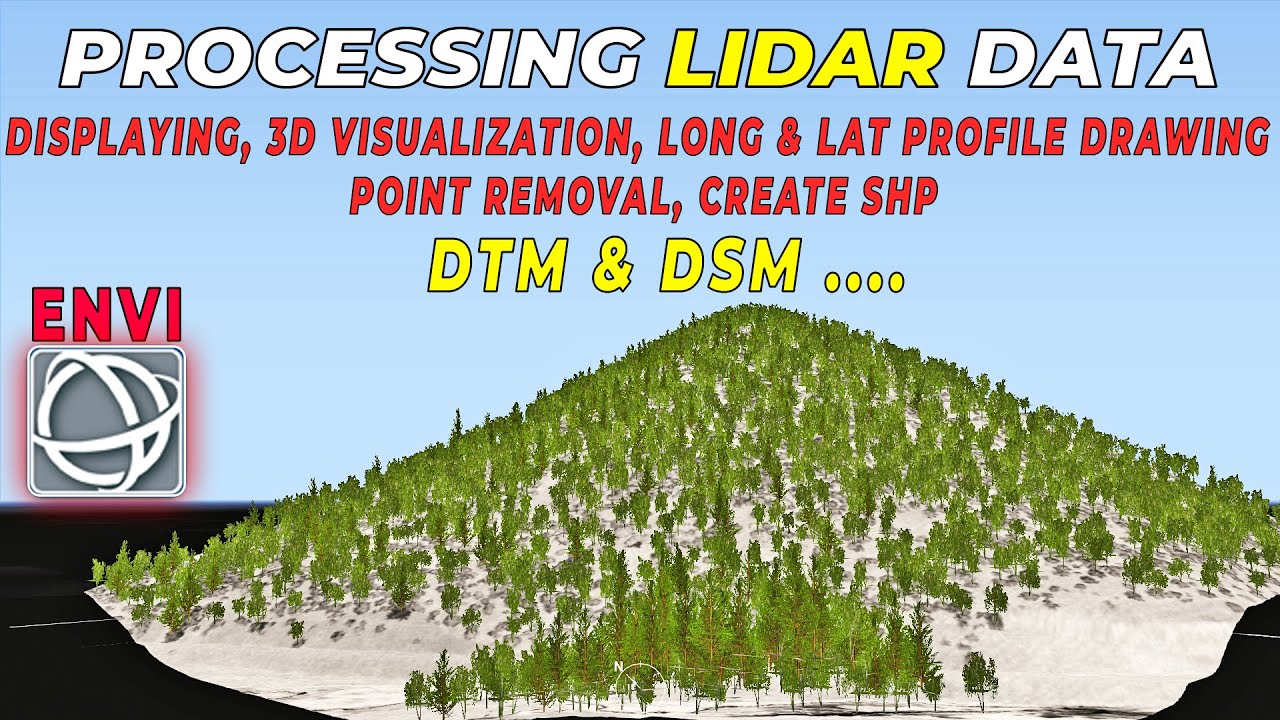
LiDAR Point Cloud Processing in ENVI: 3D Surveying of Terrain
Автор: RS & GIS
Загружено: 2022-08-03
Просмотров: 5029
Описание:
LiDAR Point Cloud Processing in ENVI / 3D Surveying of Terrain :
Lidar, which stands for Light Detection and Ranging, is a remote sensing method that uses light in the form of a pulsed laser to measure ranges (variable distances) to the Earth. LiDAR is one remote sensing method that can be used to map structures including vegetation height, density, and other characteristics across a region. LiDAR directly measures the height and density of vegetation on the ground making it an ideal tool for scientists studying vegetation over large areas.
in summary:
➡ A LiDAR system uses a laser, a GPS, and an IMU to estimate the heights of objects on the ground.
➡ Discrete LiDAR data are generated from waveforms -- each point represents peak energy points along the returned energy.
➡ Discrete LiDAR points contain an x, y, and z value. The z value is what is used to generate height.
➡ LiDAR data can be used to estimate tree height and even canopy cover using various methods.
____________________________________________
✅ in this video we have completely shown you how to process LiDAR data in ENVI software. we've covered the most applicable topics in this video, you can find the topics in the timeline.
_____________________________________________
🔴 Check it out:
Subscribe to our channel and Like the video:
✅ / @rsgis6997
_ _ _ _ _ _ _ _ _ _ _ _ _ _ _ _ _ _ _ _ _ _
Share the video with others:
✅ • LiDAR Point Cloud Processing in ENVI: 3D S...
=========================================================
#rsandgis #gis #gistutorial #remotesensing #LiDar #lidar_data
Повторяем попытку...
Доступные форматы для скачивания:
Скачать видео
-
Информация по загрузке: