How to Calculate & Export NDVI using Landsat 8 in Google Earth Engine | Beginners
Автор: GIS Madras
Загружено: 2025-05-12
Просмотров: 671
Описание:
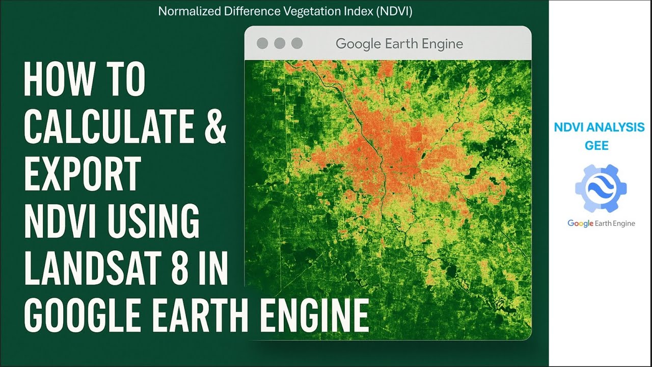
#Unlock the power of satellite imagery! In this beginner-friendly tutorial, you'll learn how to calculate the Normalized Difference Vegetation Index (NDVI) using Landsat 8 data in Google Earth Engine (GEE). Whether you're working in agriculture, forestry, environmental monitoring, or remote sensing, this step-by-step guide walks you through selecting imagery, calculating NDVI, visualizing it, and exporting the results as a GeoTiff and Viewing in ArcMap.
No prior experience with GEE is required—perfect for students, researchers, and GIS enthusiasts!
📂 Code included in the video description:
Topic Covered:
How to load and filter Landsat 8 imagery
Calculate NDVI using Red & NIR bands
Apply cloud masking
Visualize NDVI on the map
Export NDVI results as a GeoTiff to Google Drive
Code Link:
https://drive.google.com/file/d/1esQN...
Google Earth Engine Playlist:
• Google Earth Engine
Join this channel to get access to perks:
/ @gismadras
00:00 Introduction
00:12 Selecting Area of Interest
01:13 Loading Landsat 8 Collection
01:59 Filtering Landsat 8 image
03:25 Print image collection & NDVI Formula
05:04 Boundary & Exporting NDVI image
09:40 Running Script & Exporting to Drive
12:15 NDVI image in GIS Platform
#Google Earth Engine
#NDVI
#Landsat 8
#Remote Sensing
#NDVI Google Earth Engine
#NDVI Landsat 8
#Earth Engine Tutorial
#Vegetation Index
#GIS Tutorial
#Google Earth Engine for Beginners
#Satellite Image Analysis
#Export NDVI GeoTIFF
#Cloud Masking
#Landsat NDVI
#Earth Observation
#GEE NDVI Export
#Environmental Monitoring
#Calculate NDVI in GEE
#GEE JavaScript
#Landsat 8 NDVI Analysis
#Free GIS Tools
#Earth Engine Code Editor
#geospatialtechnology
#geotiff
#Export Google Drive
Повторяем попытку...
Доступные форматы для скачивания:
Скачать видео
-
Информация по загрузке: