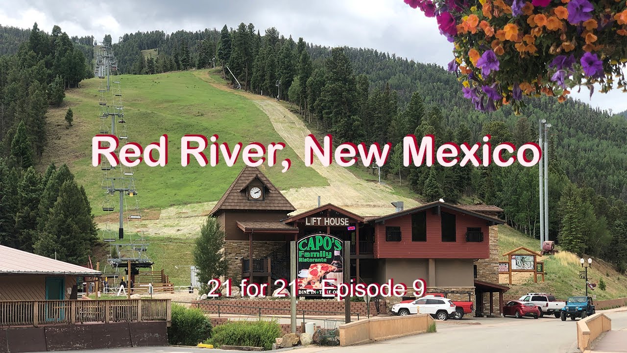
Traversing New Mexico's High Country - Gold Hill and Gavilan Mountain - Red River, New Mexico
Автор: One Man's Odyssey
Загружено: 2022-07-16
Просмотров: 750
Описание:
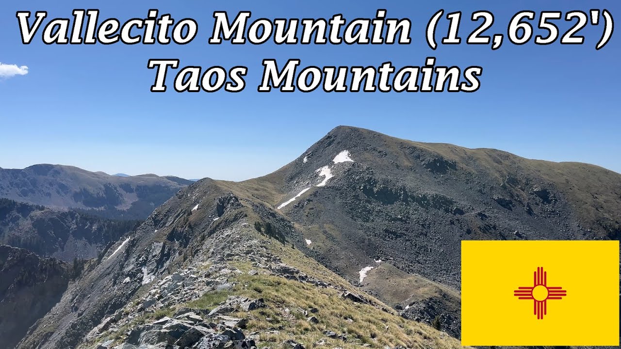
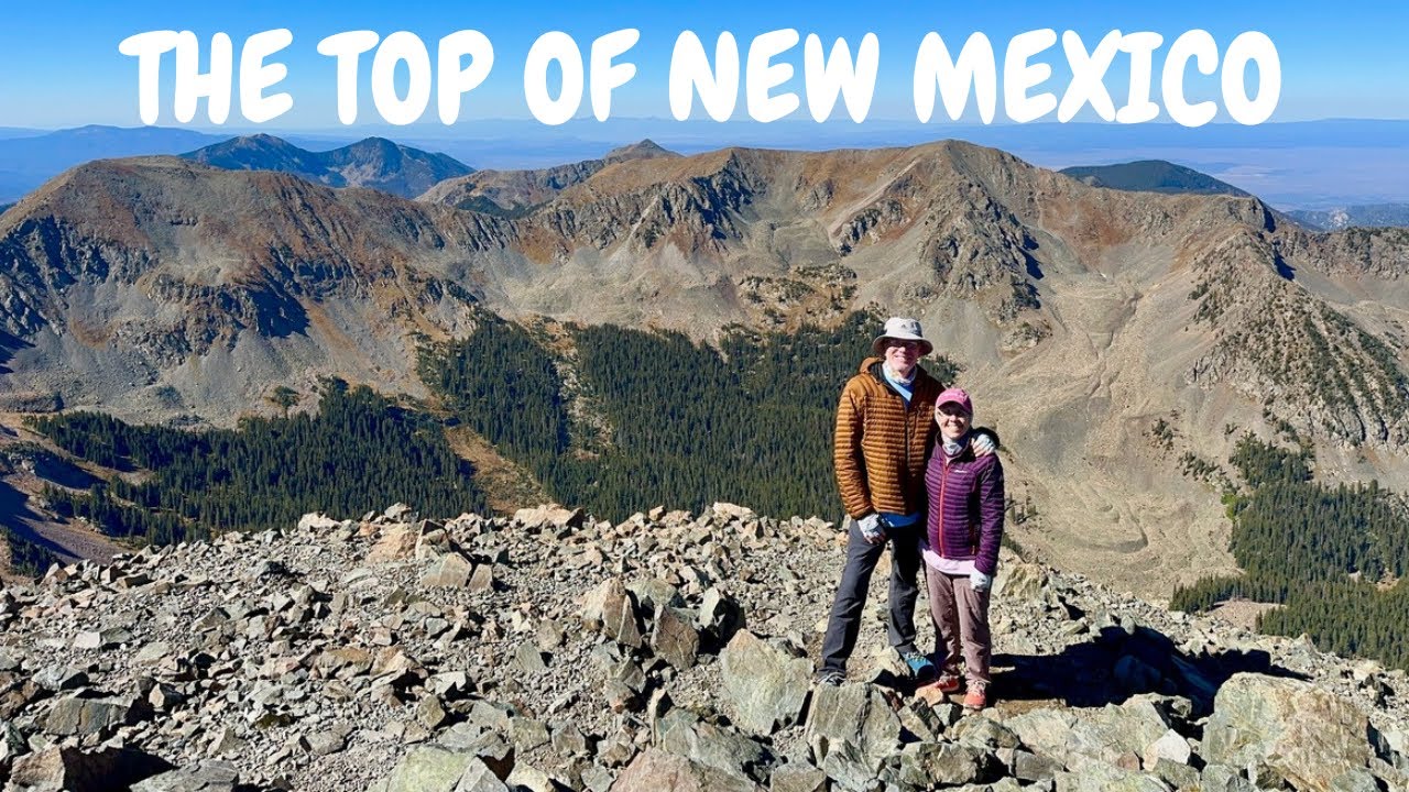
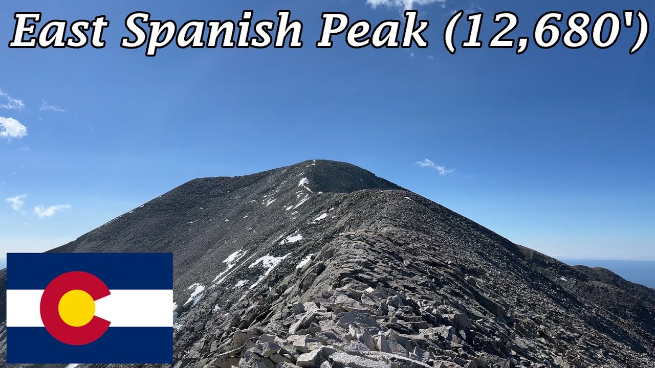
Gold Hill (No. 11) and Gavilan Mountain (No. 35) are both high on the New Mexico elevation list, considered ranked #12ers on the Peakbagger site. Gold Hill is also high on the New Mexico prominence list, No. 59, with a prominence of at least 1,796'. All of New Mexico's 12ers are found in the Sangre de Cristo Mountains, a subrange of the Rocky Mountains that start just east of Santa Fe, New Mexico, and trend north to their terminus in Poncha Pass in south-central Colorado. They contain 10 of Colorado's 53 ranked 14ers. Gold Hill and Gavilan Mountain are part of the Taos Mountains, a subset of the Sangre de Cristo range that runs roughly from US-64 to NM-196. Mike Butterfield in his "New Mexico's High Peaks: a Photographic Celebration", further subdivides this area as the Columbine-Hondo Group, which contains Gold Hill, Un-12,217, Gavilan Mountain (he calls it Un-12,050), and Lobo Peak. Note that Un-12,217 is summited in this video, though I have not mentioned it because Peakbagger has a more stringent prominence minimum than Mr. Butterfield (280' vs. 100' of prominence).
While the Wheeler Group to the south sees far more foot traffic, the West-East trending ridge that contains the four peaks mentioned above features pristine hiking in a beautiful area with a fraction of the activity. The Columbine-Twining National Recreation Trail traverses the group, connecting the historic mining camps of Columbine (now the Columbine C.G. in the Carson National Forest) and Twining (now the Taos Ski Valley). Gold Hill obviously takes its name from the gold mines in the area, and Gavilan Mountain seems to take its name from Gavilan Canyon (gavilan being Spanish for "hawk"). The elevation of Gavilan Mountain has not been explicitly determined by survey, but the USGS Topo Map shows the 12,040' contour surrounding the summit. Therefore, it has been assigned an elevation of 12,040' by Peakbagger, 12,050' by Mr. Butterfield, and 12,060' by LoJ.
As always, leave no trace, and respect private property. This video is meant for educational purposes only.
Disclaimer: some of the peaks in this series entail murky land access issues. Always do your own research into the peak, and never assume that just because I am on video climbing the mountain that it is necessarily 100% legal to do so. I will never advertise a climb that I know to be expressly against the land owner's wishes.
Story about Taos Ski Valley: https://www.adventure-journal.com/202...
#nmtrue #rockymountainhigh
Повторяем попытку...

Доступные форматы для скачивания:
Скачать видео
-
Информация по загрузке: