Bukit Kutu from Ampang Pecah
Автор: Faye Outdoors
Загружено: 2018-08-19
Просмотров: 348
Описание:
When I saw that KL Hiking was organizing a Trans Bukit Kutu hike, it was an immediate sign up for me. We were to hike on the trail from Ampang Pecah to the summit and then descend down to Kampung Pertak. It presented a two-fold appeal: hiking an asymmetrical route and ascending a trail that is less known and used by the general public.
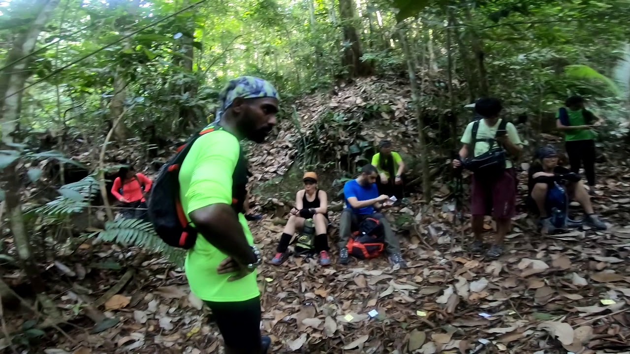
We parked our vehicles at Kampung Pertak where our transportation awaited: two buses to ferry us to the Ampang Pecah trailhead. After a quick briefing by Alex and Cath, we were on our way.
We walked past several village houses before going up a dirt road leading into a secondary forest. From there onward, it was kilometers upon kilometers of stepping on dried leaves, walking over and under branches; fending off broken overhanging twigs from our faces and removing thorny vines that seemed to latch on to our clothing. The trail looked almost pristine for the most part, with little evidence it has been visited by hikers recently.
At well above 650 m in elevation, we started to hear the sound of trickling stream on our left, and before long, we came to a clearing at 690 m where we took a quick break. A small path on the left leads to the waterpoint.
During most of the hike, there was not much of a view, and no drastic changes in the forest landscape. A respite came at 840 m in elevation. The first in a series of big boulders appeared, some covered with moss. A sure sign the summit was near, we trudged on, and came to an open field of ferns with the bright blue sky overhead.
Pushing off the fern leaves to move forward, we suddenly came upon the remnants of a building. It was the Bukit Kutu ruins! We happily posed for photos there, and while some chose to remain at the ruins, I continued to proceed towards the summit.
The weather has been hot for the past couple of weeks with little to no rain. The trail reflected this. There was a general air of arid heat that hung within the forest. The dried leaves crunched under our feet, making us slip, exhausting our energy as we tried to get a firm foothold on the inclines. The rutted clay trail down towards Kampung Pertak was dusty and very dry. The water level of the river heading to the crooked bridge was low, enabling us to cross by stepping on the rocks, which would have been submerged during the rainy season.
In summary, the trail from Ampang Pecah started at an elevation of 70 m, lower compared to the Kampung Pertak trailhead. As such, the elevation gain towards the summit is higher by about 100 meters. However, the elevation gain is tempered by the longer distance (7.5 km). While the inclines are steep, flat grounds are interspersed throughout the trail for hikers to recover and catch their breaths.
All in all, a good hiking experience!
Prior to the hike, I tried to find some details regarding the trail from Ampang Pecah, but I couldn’t find one. Hopefully, the information below will be useful for those planning to hike from there.
Elevation gain: 988 m
Distance to summit: 7.5 km
Waterpoint: 690 m elevation
https://www.wikiloc.com/hiking-trails...
Повторяем попытку...
Доступные форматы для скачивания:
Скачать видео
-
Информация по загрузке: