Carlson Webinar | Drone Topo Surveying with PhotoCapture and Precision 3D Topo
Автор: Carlson Software
Загружено: 2018-05-16
Просмотров: 6223
Описание:
Click here for more information: http://goo.gl/pkSk4U
Familiarize yourself with the efficiencies of drone surveying when using Carlson PhotoCapture in conjunction with Precision 3D Topo 2018.
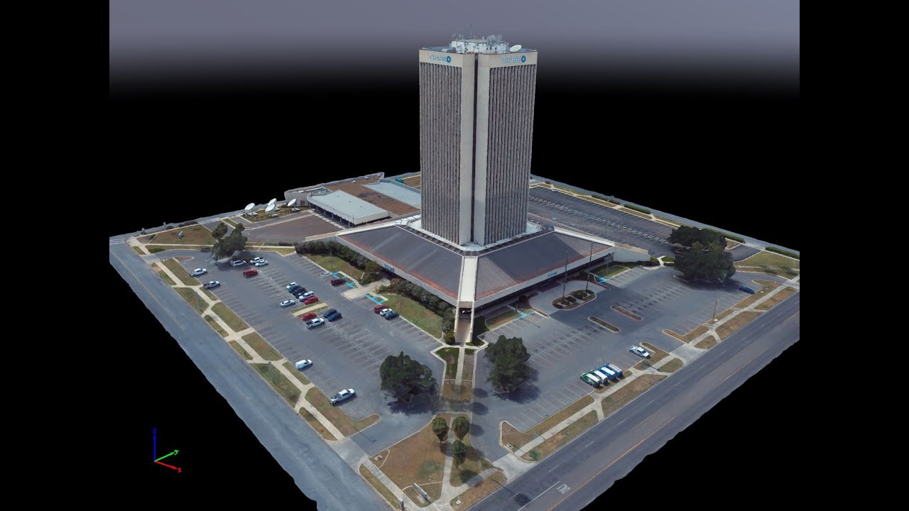
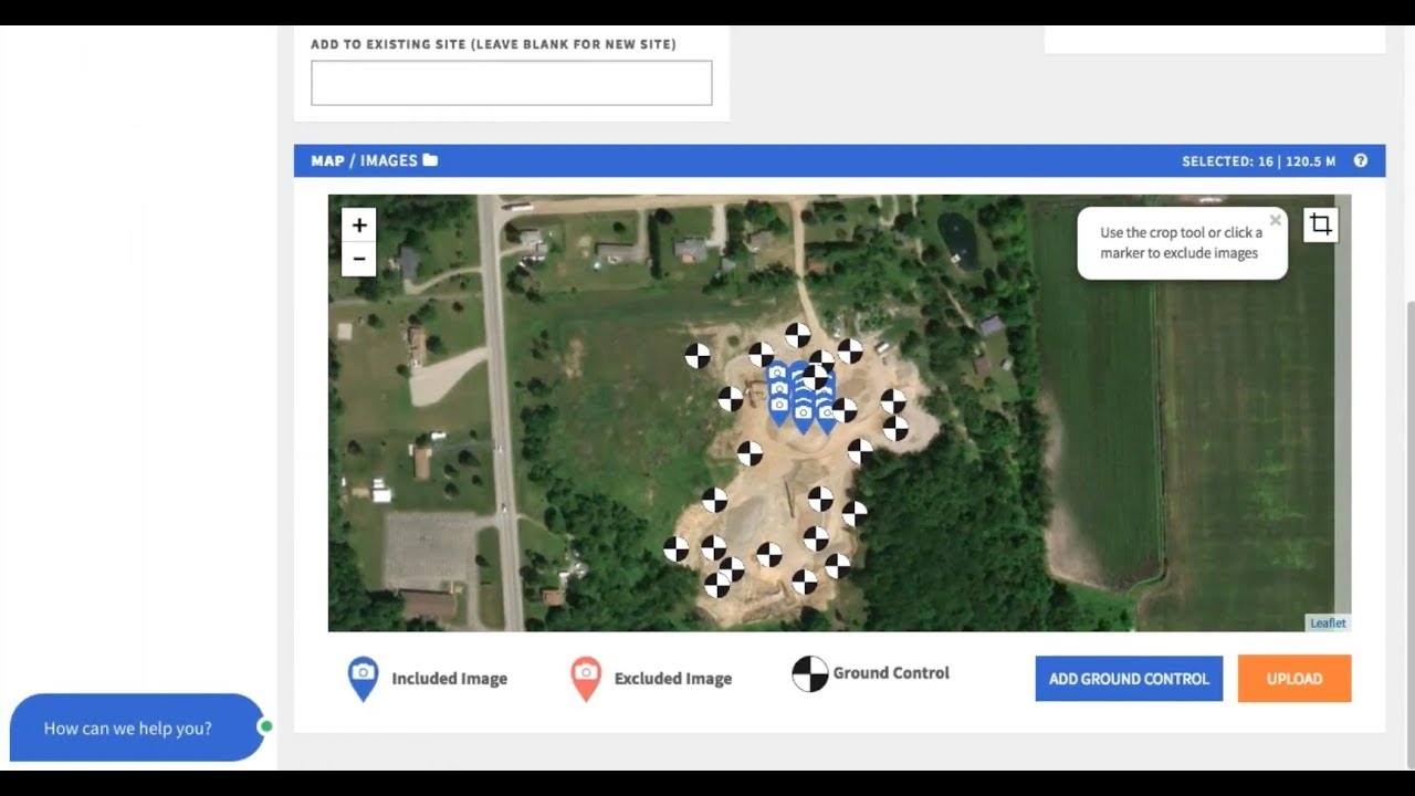
With Carlson PhotoCapture processing, you can use flyover data to instantly generate interactive 3D maps of sites, capture highly accurate 3D site data from any camera, share sitemaps with customers -anywhere, anytime, all while saving man-hours in the field.
Precision 3D Topo allows users to import survey data, points, polylines, surfaces, point clouds, both traditional LIDAR and aerial drone survey data, and more from a wide variety of programs and entities to create usable 3D surfaces.
Повторяем попытку...
Доступные форматы для скачивания:
Скачать видео
-
Информация по загрузке: