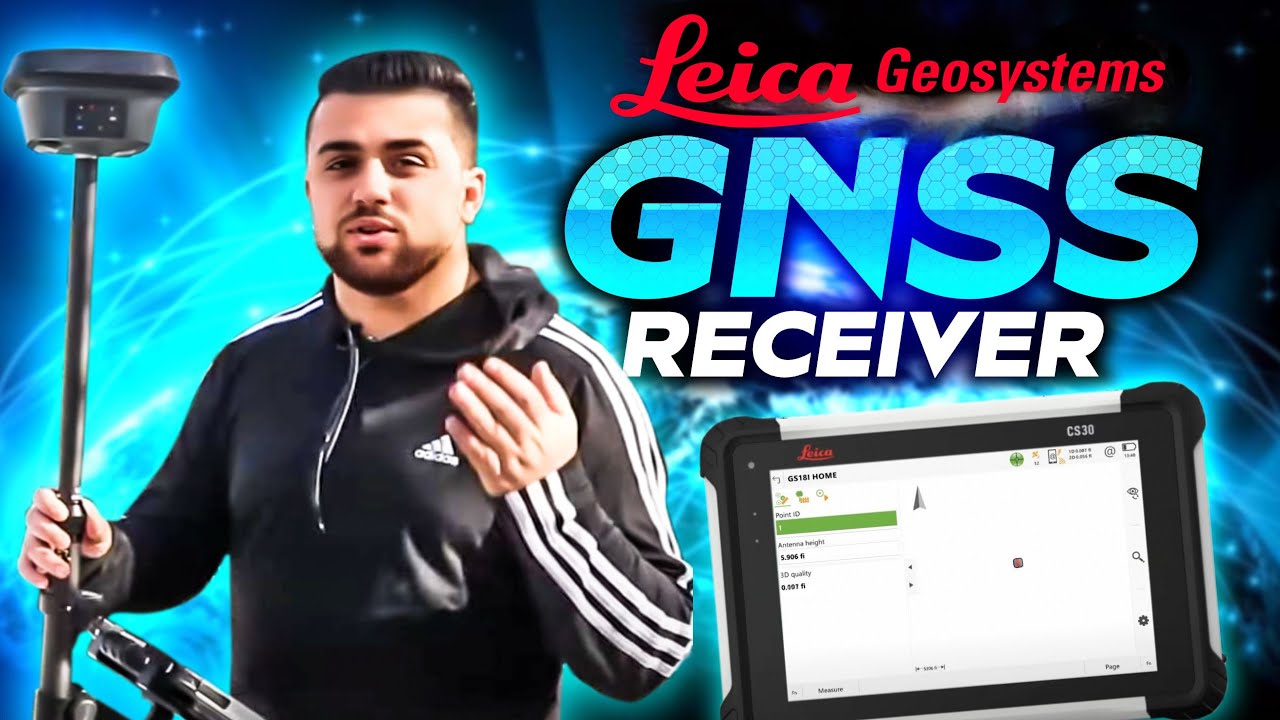
Leica GS18 I GNSS: Comprehensive Data Capture with Visual Positioning
Автор: Leica Geosystems US & Canada
Загружено: 2021-03-19
Просмотров: 1354
Описание:
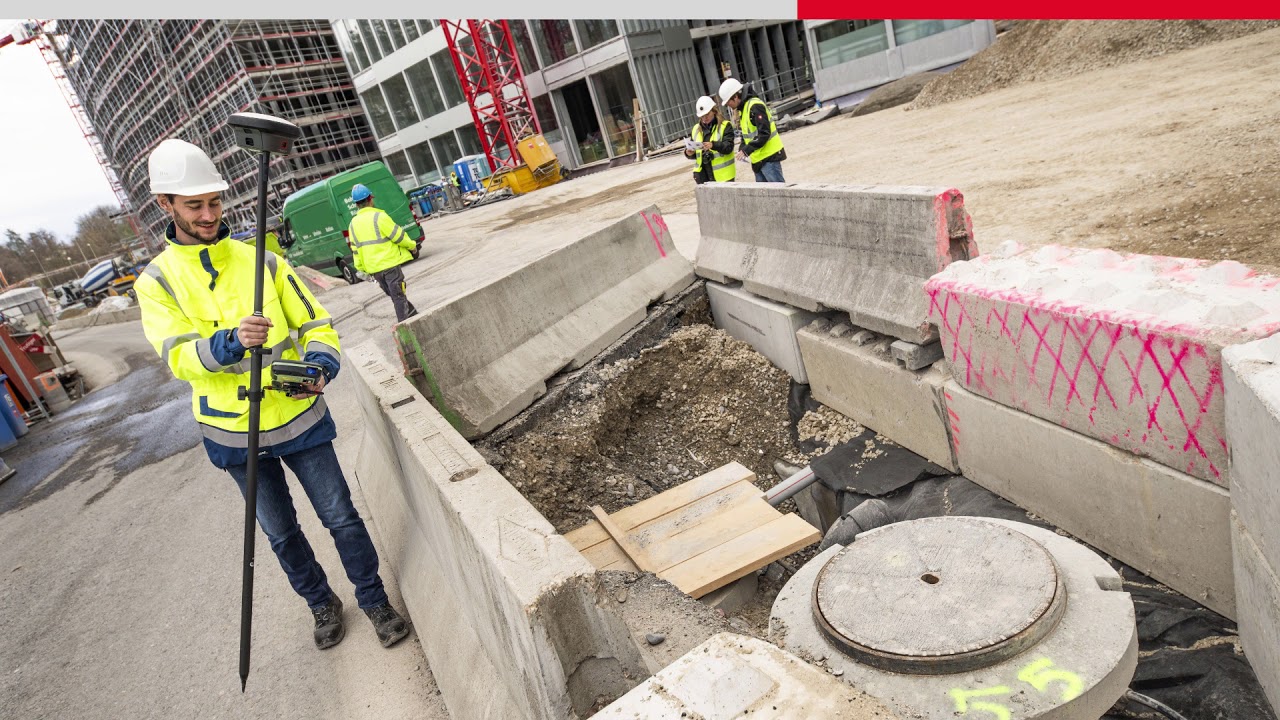
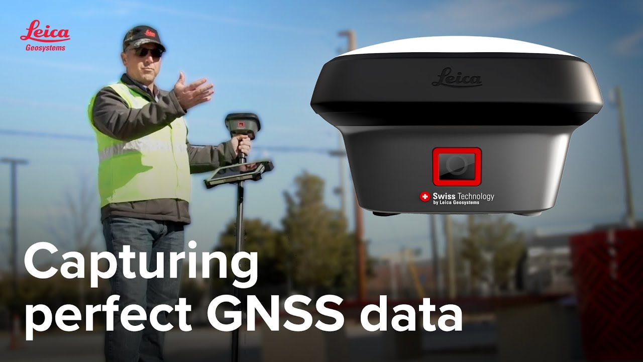
Discover how the Leica GS18 I GNSS RTK rover streamlines data collection, meeting every survey need with ease.
👉 Get more details about the GS18 I here: https://pure-surveying.com/smart-ante...
👉 Request a demo here: https://pure-surveying.com/contact/
Related Video to Watch Next: • How Visual Positioning Boosts Survey Effic...
🔥 Learn more about GNSS surveying here: https://pure-surveying.com/tag/gnss/
----------
Wouldn’t it be great to know all possible engineering and design needs for your survey data before you go to the field? Discover how the innovative Leica GS18 I GNSS RTK rover with visual positioning technology simplifies the process, enabling precise data capture on-site and allowing engineers to extract essential measurements later in the office. Learn essential tips to anticipate every data need effectively!
Повторяем попытку...
Доступные форматы для скачивания:
Скачать видео
-
Информация по загрузке: