「20171107 遙測資料的時空變異分析與潛在天然災害之研究」
Автор: 農村水保署技術研究發展平臺
Загружено: 2019-01-18
Просмотров: 275
Описание:
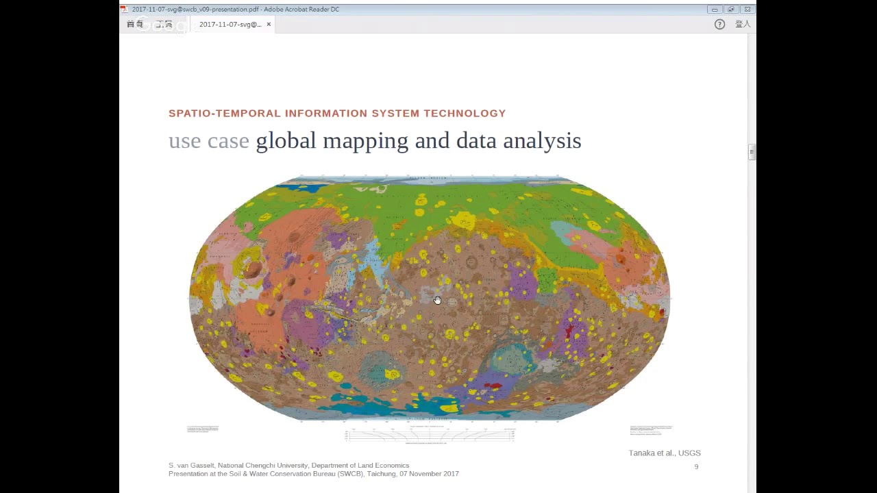
導讀者:政治大學地政系Prof. Stephan van Gasselt
內容摘要:Over the last few decades, remotely-sensed spatial data analyses have been increasingly facilitating both, a qualitative identification and a quantitative assessment of natural hazards in large and often inaccessible areas. Methods have always been built upon accessing and visualizing large amounts of spatial and non-spatial data but recent efforts focus on emphasizing a more synergistic approach which is being established by combining not only (a) large amounts of data but also (b) a large variety of different datasets of different statistical types and measures to explore relationships and interdependence.
While data volume and data variety are two major aspects when identifying and assessing hazard risks, the (c) temporal data context in which these are embedded and interlinked is another and increasingly important issue. While spatial databases are nowadays easily employed in both, commercial off-the shelf as well as free and open source management systems that provide the backbone to modern geographic information system analysis, temporal databases are close to non-existent beyond either closed proprietary or academic environments.
The importance of these three major aspects are highlighted in this talk along with some personal background of working with these data in a basic research environment.
Повторяем попытку...
Доступные форматы для скачивания:
Скачать видео
-
Информация по загрузке: