Скачать
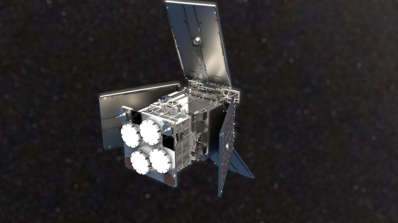
HydroGNSS satellites for SSTL
Автор: equinoxgraphics
Загружено: 2024-02-06
Просмотров: 106
Описание: This animation shows how the HydroGNSS satellites will measure important climate variables, including soil moisture, permafrost health, wetlands, and above ground biomass, using a technique called GNSS reflectometry. It uses existing signals from GPS satellites as radar signal sources. These signals are reflected off the land, ice and ocean and collected by HydroGNSS to passively measure these data.
Не удается загрузить Youtube-плеер. Проверьте блокировку Youtube в вашей сети.
Повторяем попытку...
Повторяем попытку...
Доступные форматы для скачивания:
Скачать видео
-
Информация по загрузке: