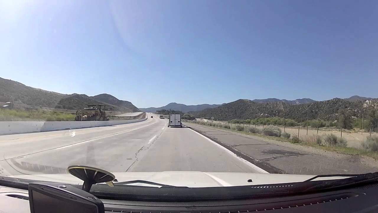
Tejon Grapevine pass on the I5 highway California USA
Автор: Gareth Coates
Загружено: 2012-05-02
Просмотров: 2244
Описание:
On my way to RCX filmed some of the roads this was a cool one to see some great scenes to be seen.
The apex of the pass is near the north westernmost corner of Los Angeles County, north of Gorman. Its highest point is 4,160 feet (1,270 m) or 4,144 feet (1,263 m), 75 miles (121 km) northwest of downtown Los Angeles and 47 miles (76 km) south of Bakersfield.
The route of Interstate 5 winds through Tejon Pass, which at this point connects the southern part of the state with the San Joaquin Valley and the north.
The pass has a mostly gradual rise from its southern approach of 1,362 feet (415 m) at Santa Clarita, but a precipitous descent through Grapevine Canyon toward the San Joaquin Valley on the north, where it ends at the Grapevine at 1,499 feet (457 m).
On its northward slope lies Fort Tejon State Historic Park, the site of a former U.S. Army post, first garrisoned in 1854
Повторяем попытку...
Доступные форматы для скачивания:
Скачать видео
-
Информация по загрузке: