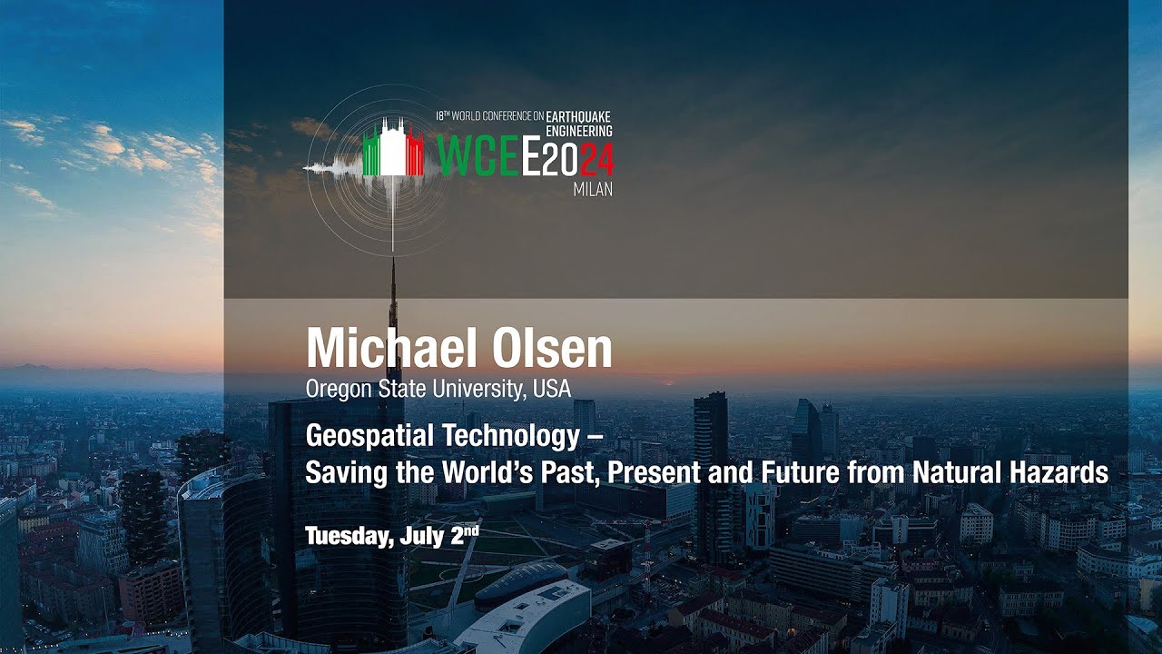
Michael Olsen: Geospatial Technology Saving the World’s Past Present and Future from Natural Hazards
Автор: WCEE2024
Загружено: 2024-07-29
Просмотров: 200
Описание:
EERI/SSA ANNUAL LECTURES
Michael Olsen: Geospatial Technology - Saving the World’s Past, Present and Future from Natural Hazards
Tuesday, July 2nd, MiCo Auditorium
Abstract:
Maintaining resilient infrastructure against the onslaught of natural hazards often needs to be more attainable and attainable. Recent technological advances offer promising solutions and opportunities towards this goal; however, the effective adoption and utilisation of those technologies operate much slower, given the societal realities of budget limitations, workforce shortages, polarisation of priorities, disillusionment from past failures, and resistance to change. In day-to-day operations, efforts by engineers, planners, and decision-makers often are hampered due to a lack of accessible, trustworthy, and current information related to infrastructure conditions. These problems are exacerbated in emergencies where infrastructure systems and people are pushed to extreme limits. At the project scale, inadequate site investigations result in substantial delays and cost overruns from unanticipated problems during construction and poor infrastructure performance due to ground failure during a seismic event. These challenges propagate to the network scale where entities managing lifelines are often forced to make decisions prioritsing mitigation efforts based on limited, simplistic, or outdated information, which significantly hampers response and recovery efforts during a disastrous situation. This presentation explores examples of how expanded and effective usage of geospatial technologies now can help us proactively "save" the world through detailed mapping of our critical lifeline infrastructure to improve 1) monitoring, modelling, and analysis efforts to more precisely identify vulnerable infrastructure, 2) planning for and understanding the potential impacts and damage extents associated with multiple hazards, 3) the conduct of post-disaster reconnaissance, damage assessments, and rebuilding efforts, and 4) digital preservation of infrastructure and other resources with significant cultural and historical importance that are unlikely to withstand major seismic forces lurking on the horizon. Ultimately, geospatial technology serves as the unifying glue to enable meaningful collaboration between science, engineering, and public policy for a resilient society capable of effectively responding to and adapting to natural hazards.
Bio:
Michael Olsen is the CH2M Hill Professor of Geomatics in the School of Civil and Construction Engineering at Oregon State University. He obtained BS and MS degree in Civil Engineering from the University of Utah and a Ph.D. in Structural Engineering from the University of California, San Diego. His research focuses on the collaborative application of geospatial technologies to natural hazards and infrastructure monitoring and management. He has participated in several post-earthquake reconnaissance teams to collect detailed 3D point cloud data to document damages. He has studied the impact of rockfalls on dwellings during the 2011 Christchurch earthquake, landslides triggered by the 2016 Kaikoura earthquake, and liquefaction-induced damage at CentrePort, Wellington, New Zealand. He was also part of a team that developed seismically induced landslide hazard mapping of Western Oregon. Michael Olsen serves as the Technical Director for the NSF Natural Hazards Engineering Research Infrastructure (NHERI) RAPID Facility, the Director of the Cascadia Lifelines Program (CLiP), a member of the Partnership and Applications Committee of the Cascadia Region Earthquake Science Center (CRESCENT), an Associate Editor of the ASCE Journal of Surveying Engineering, the Past-President of the Surveying and Geomatics Educators Society (SaGES), and a co-founder and CEO of a tech transfer spinout company, EZDataMD, LLC.
-------
Janiele Maffei 00:06
Michael Olsen 02:24
-------
https://www.wcee2024.it
Повторяем попытку...
Доступные форматы для скачивания:
Скачать видео
-
Информация по загрузке: