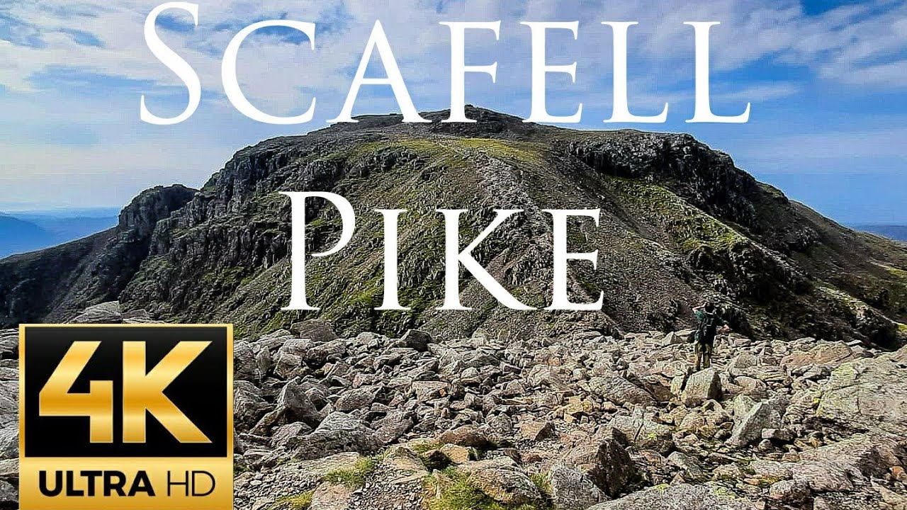
Scafell Pike Corridor Route Lake District Mavic Air 2 Drone Video
Автор: Nathan.Manchester
Загружено: 2020-11-07
Просмотров: 2299
Описание:
Scafell Pike is the highest mountain in England, at an elevation of 978 metres (3,209 ft) above sea level. It is located in the Lake District National Park, in Cumbria, and is part of the Southern Fells.Scafell Pike is one of a horseshoe of high fells, open to the south, surrounding the head of Eskdale, Cumbria. It stands on the western side of the cirque, with Scafell to the south and Great End to the north. This ridge forms the watershed between Eskdale and Wasdale, which lies to the west.
The narrowest definition of Scafell Pike begins at the ridge of Mickledore in the south, takes in the wide, stony summit area and ends at the next depression, Broad Crag Col, c. 920 m (3,030 ft). A more inclusive view takes in two further tops: Broad Crag, 934 m (3,064 ft) and Ill Crag, 935 m (3,068 ft), the two being separated by Ill Crag Col. This is the position taken by most guidebooks.North of Ill Crag is the more definite depression of Calf Cove at 850 m (2,800 ft), before the ridge climbs again to Great End.
Scafell Pike is topologically unusual and unique of the three Marilyn summits of the three mainland countries of the UK.
The Maquaco-line (Marilyn Qualification contour line 150metres below the summit) passes either side lower than Mickledore col and right round and enclosing Scafell. However Scafell is a HuMP summit as its HumQuaCo-line (Hundred metre qualification contour line) completes across Broad Stand above the Mickledore col.
This makes Scafell Pike a Dromedary Marilyn (a Marilyn with one subsidiary HUMP summit). Because it's Maquaco-line also encloses three other TuMP summits with their TumQuaCo-lines, Broad Crag, Ill Crag & Great End, it has a numerical rating, for the top 150 metres of the mountain, from the three prominence hill lists, of 01:02:05 ie 1 Marilyn, 2 HuMP's, 5 TuMPs, (both Ben Nevis and Snowdon are 01:01:01)
Scafell Pike also has outliers on either side of the ridge. Lingmell, to the north west, is invariably regarded as a separate fell, while Pen, 760 m (2,500 ft), a shapely summit above the Esk, is normally taken as a satellite of the Pike. Middleboot Knotts is a further top lying on the Wasdale slopes of Broad Crag, which is listed as a Nuttall.
The rough summit plateau is fringed by crags on all sides with Pikes Crag and Dropping Crag above Wasdale and Rough Crag to the east. Below Rough Crag and Pen is a further tier, named Dow Crag and Central Pillar on Ordnance Survey maps, although known as Esk Buttress among climbers.
Broad Crag Col is the source of Little Narrowcove Beck in the east and of Piers Gill in the west. The latter works its way around Lingmell to Wast Water through a spectacular ravine, one of the most impressive in the Lake District. It is treacherous in winter, as when it freezes over it creates an icy patch, with lethal exposure should you slip. Broad Crag is a small top with its principal face on the west and the smaller Green Crag looking down on Little Narrowcove. From Broad Crag, the ridge turns briefly east across Ill Crag Col and onto the shapely pyramidal summit of Ill Crag. Here, the main crags are on the Eskdale side, Ill Crag having little footing(clarify) in Wasdale
#scafell #scafellpike #Twostepsfromhell
🔴Subscribe for more Drone Videos https://goo.gl/N3txx7
🔴 Watch my recent upload https://goo.gl/DySRx2
Повторяем попытку...
Доступные форматы для скачивания:
Скачать видео
-
Информация по загрузке:


![Pyramids - Giza, Egypt 🇪🇬- by drone [4K]](https://imager.clipsaver.ru/9ardAUgW6iw/max.jpg)