Places to see in ( Bromborough - UK )
Автор: places to see in
Загружено: 2017-08-18
Просмотров: 1534
Описание:
Places to see in ( Bromborough - UK )
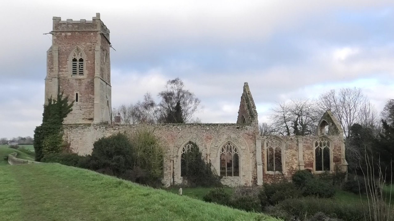
Bromborough is a village within the Metropolitan Borough of Wirral, in Merseyside. Historically in Cheshire, it is situated on the Wirral Peninsula, to the south of Bebington and to the north of Eastham. Bromborough is a contender for the site of an epic battle in the year 937, the Battle of Brunanburh, which confirmed England as an Anglo-Saxon kingdom. Reconstructed from fragments, an Anglo Saxon cross is in the churchyard of local parish church St Barnabas.
A charter for a market to be held each Monday was granted by Edward I in 1278 to the monks of St. Werburgh's Abbey. It was hoped that in establishing the market in the vicinity of Bromborough Cross would promote honest dealing. The market cross was the traditional centre of the village and also an assembly point for local farm labourers available for hire. The steps of the cross are from the original 13th-century monument. The cross itself is a more recent reproduction, presented to the town by the Bromborough Society.
With a watermill having been recorded at Bromborough at the time of the Domesday Survey, Bromborough watermill was likely to have been the oldest mill site on the Wirral. Located on the River Dibbin at what is known as Spital Dam, it was worked until 1940 and demolished in 1949. The site is now a children's nursery. A windmill, built in 1787, existed on higher ground also at the same location. Having fallen into disuse and much deteriorated, it was destroyed by gunpowder in about 1878.
An increase in traffic passing through the area resulted in Bromborough undergoing extensive redevelopment in the 1930s. Bromborough Hall, built in 1617, was demolished in 1932 to make way for a by-pass and a number of farmhouses and cottages in the area of Bromborough Cross were replaced with shops.
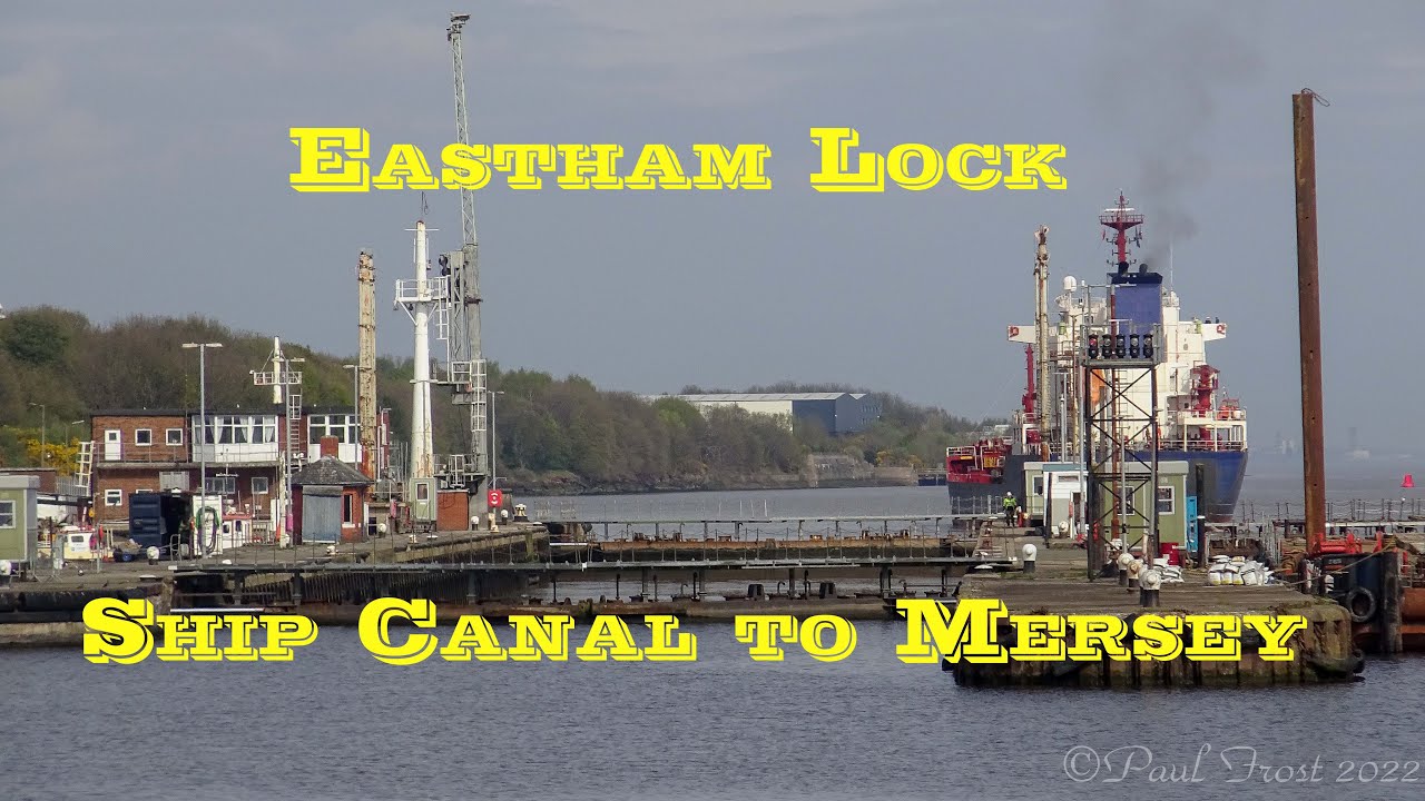
Bromborough is situated on the eastern side of the Wirral Peninsula, at the western side of the River Mersey. The area is approximately 12.5 km (7.8 mi) south-south-east of the Irish Sea at New Brighton and about 8 km (5.0 mi) east-north-east of the Dee Estuary at Parkgate. Bromborough Cross is at an elevation of about 32 m (105 ft) above sea level.
The boundary between the council wards of Bromborough and Eastham is Plymyard Avenue (just past Bettisfield Avenue), Moreland Avenue (where it merges into Raeburn Avenue), Bridle Road (at the point of Manor Road) and Eastham Rake (where Brookhurst Avenue ends). To the west of the A41 New Chester Road, Bromborough is mainly residential development started in the 1930s, centred on the original village centre with its market cross.
The main road through the area is the A41 New Chester Road. The B5137 Spital Road joins the A41 at Bromborough. Junctions 4 and 5 of the M53 motorway are equidistant from Bromborough, each about 3 km (1.9 mi) away; Junction 4 is to the west and Junction 5 is to the south. Bromborough and Bromborough Rake railway stations are both situated on the Wirral Line of the Merseyrail network.
( Bromborough - UK ) is well know as a tourist destination because of the variety of places you can enjoy while you are visiting Bromborough . Through a series of videos we will try to show you recommended places to visit in Bromborough - UK
Join us for more :
/ @placestoseein3171
http://placestoseein87.blogspot.com.eg/
https://plus.google.com/1084608455791...
/ placestoseein87
/ placestoseein1
https://www.tumblr.com/blog/placestos...
/ places-to-see-in
Повторяем попытку...

Доступные форматы для скачивания:
Скачать видео
-
Информация по загрузке: