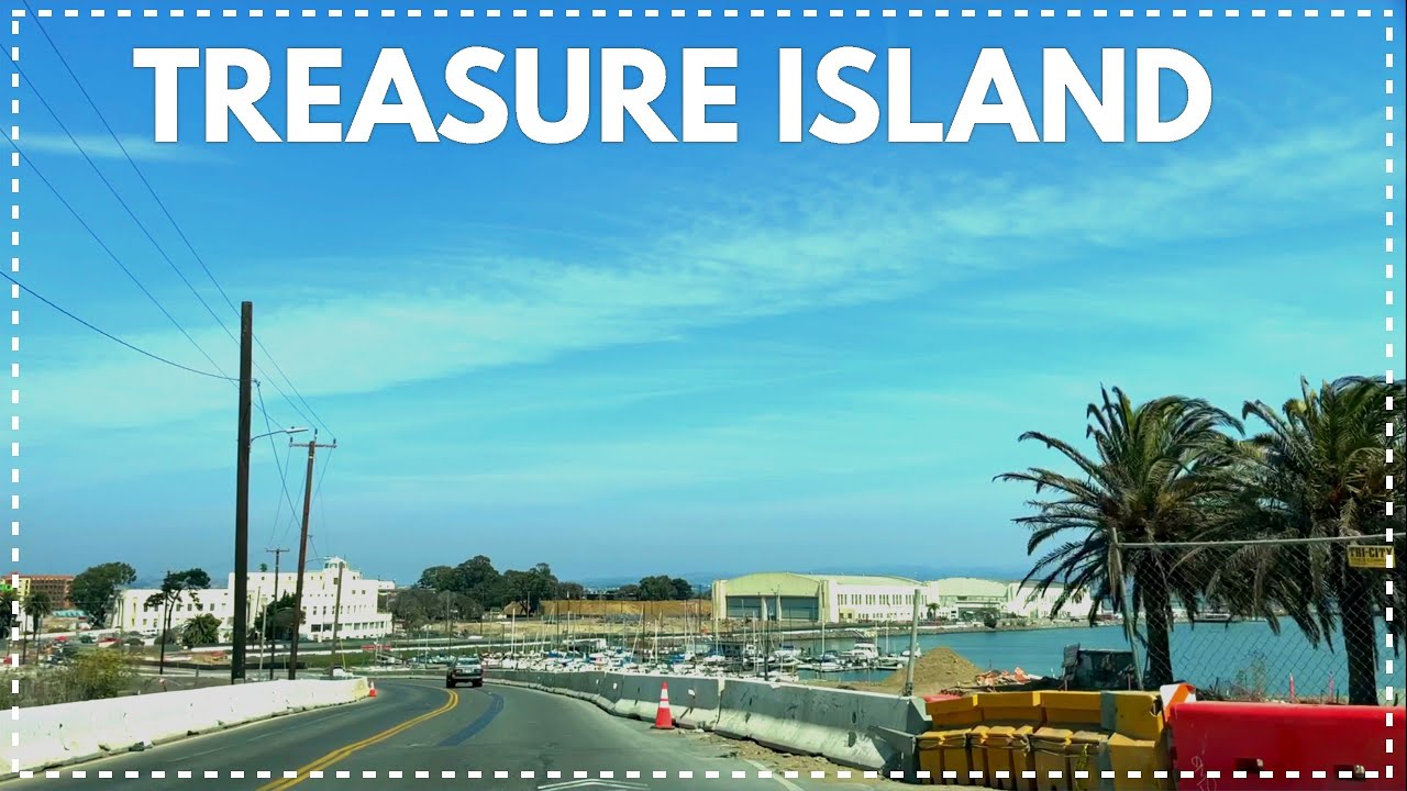
TREASURE ISLAND, California - Dash Cam - USA 2021
Автор: MR. OWEN CALIFORNIA
Загружено: 2021-09-07
Просмотров: 2955
Описание:
SEE MORE VIDOE OF SAN FRANCISCO PLAYLIST:
• Driving Tour San Francisco ( Mission Stre...
TREASURE ISLAND, California - Dash Cam - USA 2021
__________________________________________________________________
TREASURE ISLAND:
Treasure Island is an artificial island in the San Francisco Bay and a neighborhood in the City and County of San Francisco. Built in 1936–37 for the 1939 Golden Gate International Exposition, the island's World's Fair site is a California Historical Landmark.[6] Buildings there have been listed on the National Register of Historic Places, and the historical Naval Station Treasure Island, an auxiliary air facility (for airships, blimps, dirigibles, planes and seaplanes), are designated in the Geographic Names Information System.
HISTORY OF TREASURE ISLAND:
Prior to the island's construction by the United States government, "Yerba Buena Shoals" of rock[1] north of the transbay island had less than 27 ft (8.2 m) clearance and were a shipping hazard.[9] The 400-acre (1.6 km2) island was constructed by emplacing 287,000 short tons (260,000 t) of quarried rock in the shoals for the island/causeway perimeter rock walls (a freshwater reservoir was quarried in the rock of Yerba Buena Island).[9] Approximately 23 feet (7.0 m) of dredged bay sand filled the interior, was mitigated from salt, and then 50,000 cubic yards (38,000 m3) topsoil[9] was used for planting 4,000 trees, 70,000 shrubs, and 700,000 flowering plants. Facility construction had begun by March 4, 1937, when two hangars were being built.
On February 18, 1939, the 'Magic City'[10] opened with a "walled city" of several fair ground courts: a central Court of Honor, a Court of the East, a Port of Trade Winds on the south and on the north: a Court of Pacifica, a 12,000-car parking lot, and the adjacent National Building, the $1.5M Federal Building, the Hall of Western States, the $800K administration building, various exhibit halls for industries (e.g., "Machinery, Science, and Vacationland"), and two 335-by-78-foot (102 m × 24 m) hangars planned for post-exposition use by Pan Am flying boats (e.g., the China Clipper through 1944[6]) using the Port of Trade Winds Harbor later referred to as Clipper Cove between the two islands. In addition to Building 2 (Hangar 2) and Building 3 (Hangar 3), remaining exposition buildings include Building 1 (Streamline Moderne architecture) intended after the expo as the Pan American World Airways terminal. The expo's Magic Carpet Great Lawn also remains.)
A couplet from the song "Lydia the Tattooed Lady", in the Marx Brothers' 1939 film, At The Circus, reads "Here is Grover Whalen unveilin' the Trylon/Over on the West Coast we have Treasure Island", citing, in the Trylon and Treasure Island, two prominent features of international civic events happening that year (as the 1939 New York World's Fair vied for tourist patrons with the Golden Gate International Expo).
Military base
Main article: Naval Station Treasure Island
For the nearby former Hill Park military cemetery and the NRHP "Quarters 1 Nimitz House", see Yerba Buena Island.
Headquarters Building at US Naval Station Treasure Island
Treasure Island was originally intended to become a second airport for San Francisco, augmenting the existing San Francisco Municipal Airport, now SFO. But with war looming, the Navy moved in.
Naval Station (NAVSTA) Treasure Island began under a 1941 war lease as a United States Navy "reception center". On April 17, 1942, the U.S. Navy cut short an ownership dispute with the city by seizing the island[12]. The Navy eventually compensated the city with $10 million in improvements to the existing airport, including reclaiming 93 acres of land, and postwar ownership of all military improvements.
READ MORE SEE MORE:
https://en.wikipedia.org/wiki/Treasur...
__________________________________________________________________________________________
Equipment used:
1. iphone 12 Max
2. Delkin Devices Fat Gecko Triple Suction Camera Mount:
https://amzn.to/3jJVA0j
3. Sennheiser AMBEO Smart Headset (iOS) - in-Ear Headphones with Binaural :
https://amzn.to/38o8YAS
WE ALSO USED THESE EQUIPMENT ON OUR CHANNEL:
1. Viofo A129 Dash Cam :
https://amzn.to/2XOOS0p
2. Zoom H6 Portable Recorder:
https://amzn.to/3nkoE0N
DISCLAIMER: Links included in this description might be affiliate links.
If you purchase a product or service with the links that I provide I may receive a small commission.
There is no additional charge to you! Thank you for supporting my channel.
__________________________________________________________________________________________
#TreasureIsland #SanFrancisco #DashCam #DrivingTour #DrivingDowntown
Повторяем попытку...
Доступные форматы для скачивания:
Скачать видео
-
Информация по загрузке:


![[4K] Fisherman's Wharf - Pier 39 in San Francisco, California USA Walking Tour & Travel Guide](https://image.4k-video.ru/id-video/vFJP5MBkW9M)


![[4K] Scenic Drive from Bay Bridge to Downtown SF: Pier 39, Skyline Views](https://image.4k-video.ru/id-video/CUDqZtvnLdc)