Airborne Assessment Uncovers Socioeconomic Stratification of Urban Nature in England
Автор: Cambridge Energy and Environment Group
Загружено: 2025-10-31
Просмотров: 10
Описание:
Abstract:
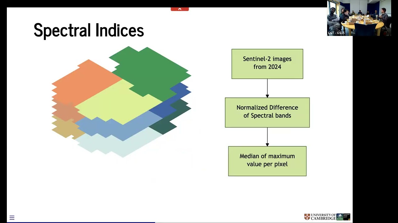
Nature access is increasingly recognised as a public health and equity imperative, yet cities lack standardised ways to measure who benefits from green infrastructure. We present the first national, building-level assessment of the 3–30–300 urban greening rule across England, integrating high-performance computing with open LiDAR and geospatial datasets. Our framework quantifies proximity, availability, and accessibility of greenery, linking each to socioeconomic deprivation through Gini-based inequality metrics. Results reveal that while most English residents meet the tree visibility criterion, only 0.1\% of urban areas meet all three thresholds; canopy cover and park access sharply diverge along deprivation lines. Wealthier areas enjoy greater ambient greenness, whereas deprived urban cores often have better proximity to parks but lower vegetation density. The study offers a scalable computational blueprint for assessing nature equity and demonstrates that green accessibility represents a new dimension of socioeconomic inequality. These findings call for policy approaches that move beyond proximity metrics toward equitable, quality-based standards for nature access.
Bio:
Andrés is a 3rd year PhD student in the Department of Architecture at the University of Cambridge. His research interests lie in using machine learning and mathematical methods on geospatial data to quantify the effect of urban nature in sustainability.
Повторяем попытку...
Доступные форматы для скачивания:
Скачать видео
-
Информация по загрузке:


