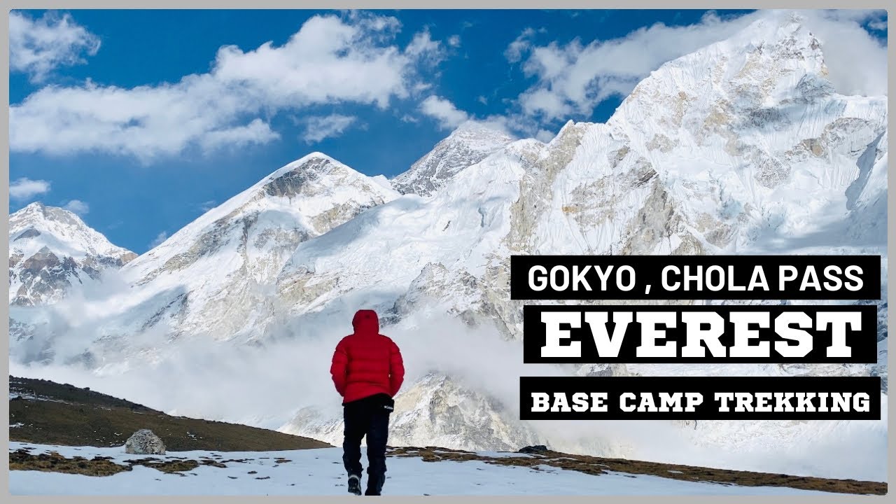
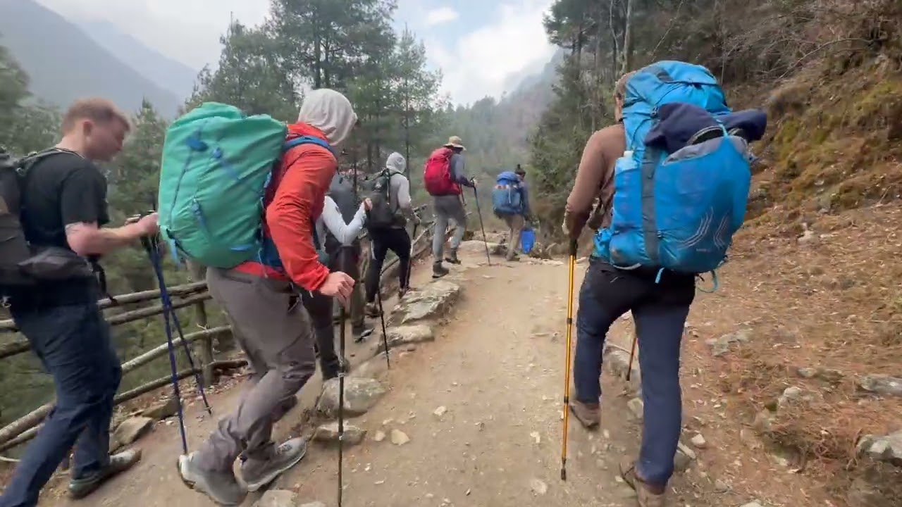
KHUMJUNG VILLAGE | KHUNDE | EVEREST REGION TREKKING 2021 | NEPAL
Автор: Mountain Guide Nepal
Загружено: 2022-01-21
Просмотров: 5385
Описание:
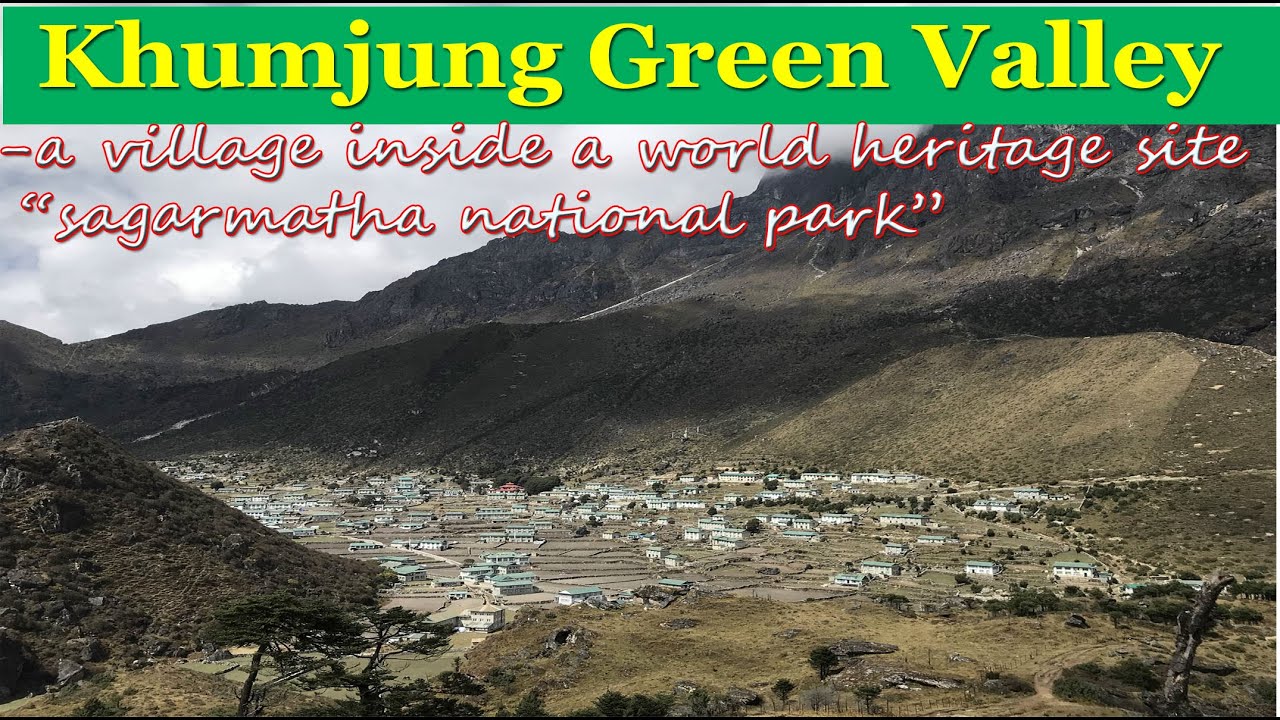
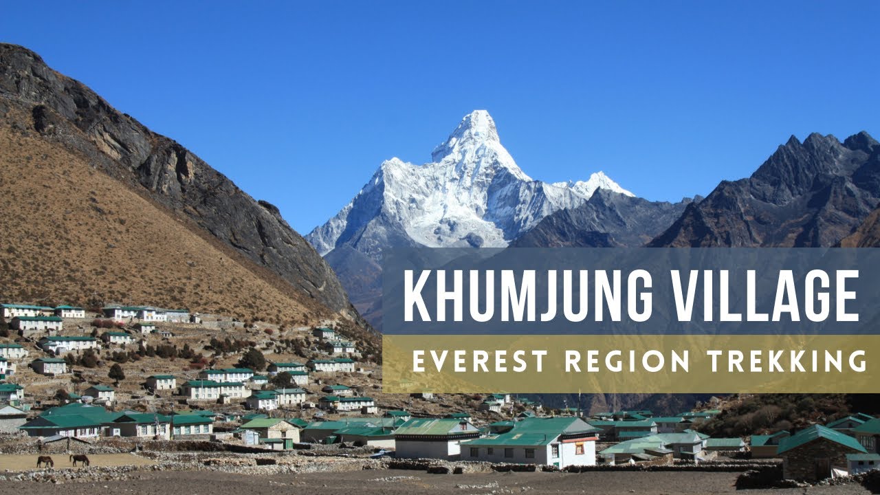
Khumjung (Nepali: खुम्जुंग) is a village in Khumbu Pasanglhamu rural municipality of Solukhumbu District in Province No. 1 of north-eastern Nepal. It is located in the Khumbu subregion inside Sagarmatha National Park, a world heritage site. The village is at an elevation of 3,790 metres above sea level, and is situated near Mount Khumbila.
A monastery in Khumjung has a purported Yeti scalp. This village has modern communications such as the internet and mobile and landline phones.
The village is the seat of ward no. 4, which include Kunde, Khumjung, Tengboche (Tyangboche), Pangboche, Pheriche, Dole, Chharchung, Machhermo, Lobuche, Dingboche, and Gokyo. As of 2011, it had a population of 1912 people living in 551 individual households.[1]
Khumjung school was built by Sir Edmund Hillary's Himalayan Trust in 1961. The school began as two classrooms but now caters for pre-school, primary and secondary sections with over 350 students.
History :-
Khumjung was a separate Village development committee in Solukhumbu District of Sagarmatha Zone of EDR in Nepal during Kingdom of Nepal. With new administrative structure on 10 March 2017, it became part of Khumbu Pasanglhamu rural municipality.
Country
Nepal
Province
Province No. 1
District
Solukhumbu
Rural Municipality
Khumbu Pasanglhamu
Located at
ward no. 4
Elevation
3,790 m (12,430 ft)
Population (2011)
• Total
1,912
Time zone
UTC+5:45 (Nepal Time)
Area code(s)
038
Повторяем попытку...
Доступные форматы для скачивания:
Скачать видео
-
Информация по загрузке: