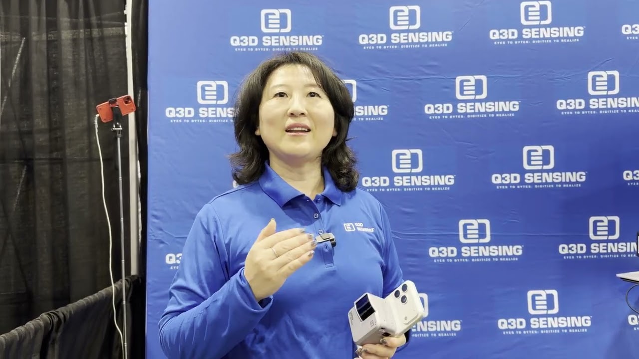
Geo Week 2026 Booth Pitch: Pix4D: From Drone + Phone Images to 3D Mapping
Автор: We Get Around Network - WGAN-TV
Загружено: 2026-02-24
Просмотров: 1
Описание:
In this quick booth pitch, Tom Cerchiara, Customer Success Manager (North America) at Pix4D, explains what Pix4D does in one line:
“We take images and turn them into information.”
Pix4D helps teams convert photogrammetry + 3D scan data into actionable deliverables for real-world work, including:
Drone mapping
Surveying
Construction
Utilities
Public safety
And more
Tom also highlights Pix4Dcatch for capturing data with phones, plus Pix4D’s drone-agnostic approach: if your drone has a camera with solid imagery, Pix4D can process it into data you can share, analyze, and use to save time + money in the field and in the office.
Learn more: https://wgan.info/Pix4D
#Pix4D #TomCerchiara #CustomerSuccess #Photogrammetry #DroneMapping #DroneSurvey #Surveying #RealityCapture #3DMapping #Mapping #ConstructionTech #Utilities #PublicSafety #3DScan #PointCloud #Pix4Dcatch #DroneAgnostic #FieldToOffice #Geospatial #GIS
Повторяем попытку...

Доступные форматы для скачивания:
Скачать видео
-
Информация по загрузке: