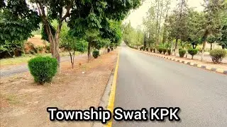
SWAT winter season 2024
Автор: NB Digital Diaries
Загружено: 2024-12-07
Просмотров: 86
Описание:
Swat Valley, is a district in the Malakand Division of Khyber Pakhtunkhwa, Pakistan. Known for its stunning natural beauty, the district is a popular tourist destination. With a population of 2,687,384 per the 2023 national census, Swat is the 15th-largest district of Khyber Pakhtunkhwa.
Swat District is centred on the Valley of Swat, usually referred to simply as Swat, which is a natural geographic region surrounding the Swat River. The valley was a major centre of early Buddhism of the ancient civilisation of Gandhara, mainly Gandharan Buddhism, with pockets of Buddhism persisting in the valley until the 16th century conquest of Swat by the Yousafzais, after which the area became largely Muslim, along with the Pashtunization of Swat and its neighbouring regions.[4][5][6][7] In the early 19th century, Swat emerged as an independent state under Saidu Baba. State of Swat became a Princely state under British suzerainty as part of the British Raj in 1918.
In 1947, following the Partition of British India and subsequent independence of Pakistan, Swat acceded to the Dominion of Pakistan continuing as a self-governing princely state until it was officially annexed and merged into West Pakistan and later became a part of North-West Frontier Province (now Khyber Pakhtunkhwa) in 1969. The region was seized by the Tehrik-i-Taliban in late-2007 until Pakistani control was re-established in mid-2009.[8][9]
The average elevation of Swat is 980 m (3,220 ft),[5] resulting in a considerably cooler and wetter climate compared to the rest of Pakistan. With lush forests, verdant alpine meadows, and snow-capped mountains, Swat is one of the country's most popular tourist destinations.[10][11]
Etymology
[
The name "Swat" is derived from the Swat River. The Swat River referred to as the Suvāstu in the Rig Veda, with a literal meaning "of fair dwellings". Some have suggested the Sanskrit name may mean "clear blue water."[12] Another theory derives the word Swat from the Sanskrit word shveta (lit. 'white'), also used to describe the clear water of the Swat River.[13] To the ancient Greeks, the river was known as the Soastus.[14][15][16][13] The Chinese pilgrim Faxian referred to Swat as the Su-ho-to.[17]
Geography
Upper Swat is enclosed by tall mountains.
Swat's total area is 5,337 square kilometres (2,061 sq mi). Swat District consists of two well-defined geographic regions, Swat Kohistan and Swat Proper. Swat Kohistan forms the larger, northern part of the district, and is mainly inhabited by the indigenous Kohistani, Torwali and Kalami peoples. Swat Proper forms the lower portion of the district and has a Pashtun majority, with a significant Gujar population.[18] In terms of administrative divisions, Swat is surrounded by Chitral, Upper Dir and Lower Dir to the west, Gilgit-Baltistan to the north, and Kohistan, Buner and Shangla to the east and southeast, respectively. The former tehsil of Buner was granted the status of a separate district in 1991.[19]
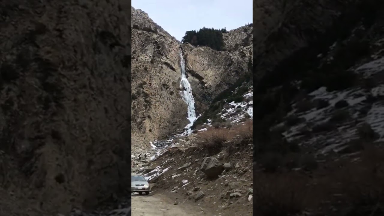
The Swat Valley is enclosed by mountains that forms a natural geographic boundary for it. The Swat River whose headwaters arise in the 5,500-to-5,800-metre-tall (18,000–19,000 ft) Hindu Kush mountain range runs through the length of the region. The main area consists of many sub valleys such as Kalam, Bahrain, Matiltan, Utror, and Gabral.
Climate
Climate in Swat is a function of altitude, with mountains in the Kohistan region snow-clad year round. The upper areas of the region are relatively colder and often get snowfall in the winter. Drier, warmer temperatures in the lower portions in the Yousafzai Plains where summer temperatures can reach 105 °F (41 °C), although the lower plains experience occasional snow.[20] Both regions are subject to two monsoon seasons - one in winter and the other in summer. Swat's lower reaches have vegetation characterized by dry bush and deciduous trees, while the upper areas mostly have thick pine forests.[21]
Airport
The Saidu Sharif Airport at Kanju is a stone throw from Mingora, adding much to the tourism in the past. The runway is situated between Swat River and the Sham Baba mountainous range, with lush green gardens and large trees being added as "charm" to the climate in the area. More than 20 km² has been covered strategically, as was proposed during the last Wali's rule and constructed later-on by the Pakistani government. The Kanju village has seen an influx of academics in the region and is considered a hub for the Matta and Kabal Tehsils of Swat Valley
Повторяем попытку...
Доступные форматы для скачивания:
Скачать видео
-
Информация по загрузке: