Explore LiDAR Data with ArcGIS Pro
Автор: esriindia
Загружено: 2026-03-17
Просмотров: 4
Описание:
#lidar #arcgis #esri #esriindia #lidartechnology
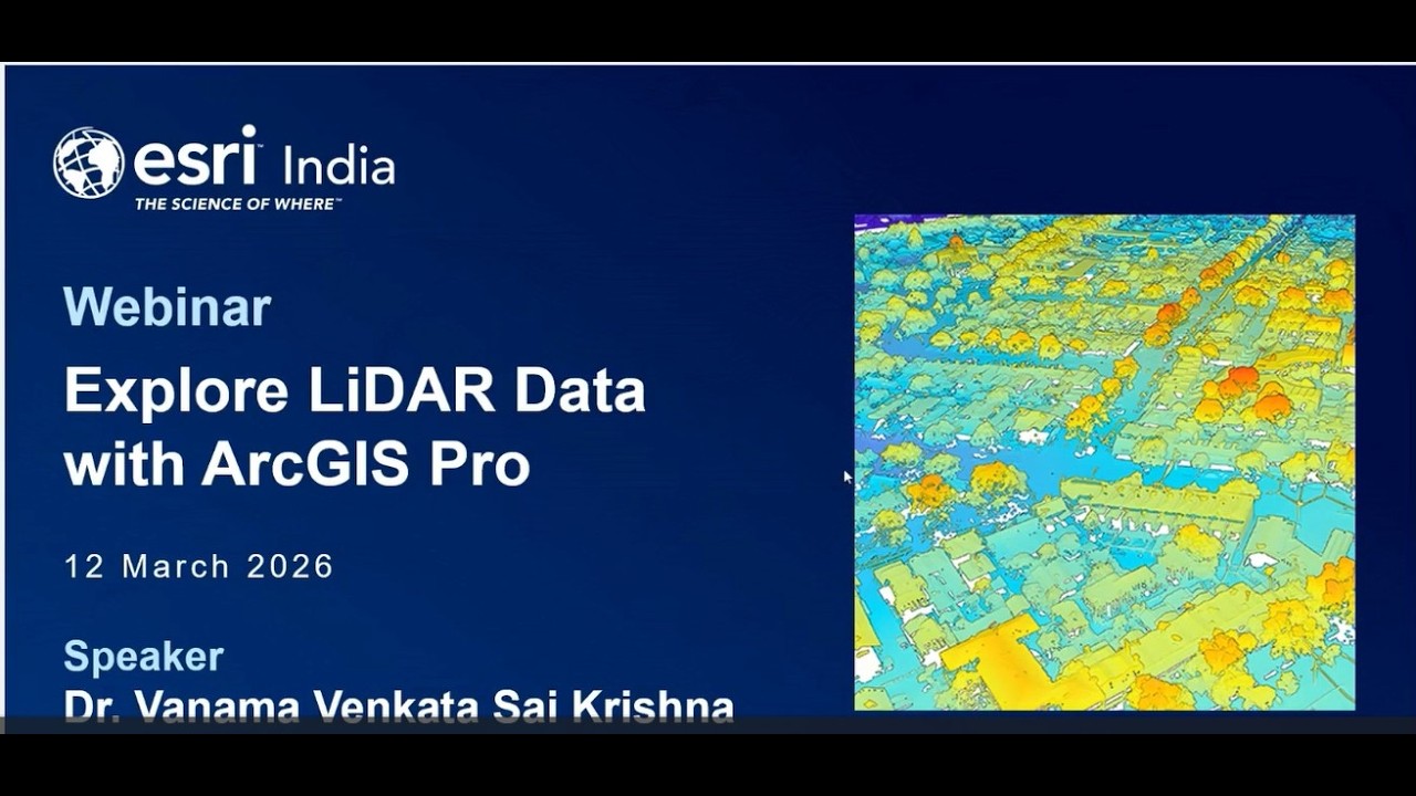
LiDAR (Light Detection and Ranging) data and its derivatives, such as high-resolution elevation and surface models, have become indispensable across industries ranging from urban planning to forestry and disaster management. However, the sheer volume and complexity of point cloud data require specialized workflows to unlock its true potential.
This session introduces core LiDAR concepts, collection methods, and critical quality-control considerations. We will explore modern techniques to manage, edit, and visualize 2D and 3D information products using ArcGIS Pro. Attendees will learn how to move beyond raw data to create actionable intelligence through streamlined workflows and advanced analysis.
View this recording and delve into the end-to-end LiDAR workflow within the ArcGIS ecosystem, demonstrating how to move from data ingestion to advanced 3D analysis and sharing.
Повторяем попытку...
Доступные форматы для скачивания:
Скачать видео
-
Информация по загрузке:


![[Special Session] Inside the Esri India Young Scholar Program](https://imager.clipsaver.ru/LY2ixQ55ndo/max.jpg)
![[Webinar] What’s New in ArcGIS Pro for Water Resource Programs](https://imager.clipsaver.ru/jK3ARJzbyf0/max.jpg)