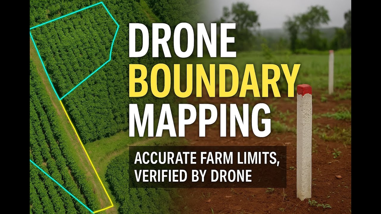
How to obtain precise land boundaries using drone imagery 🌱
Автор: Future Thota
Загружено: 2025-10-13
Просмотров: 45
Описание:
In this video, I demonstrate how to map a coffee estate in the Western Ghats using a DJI multispectral drone — and how the imagery helps us extract accurate land boundaries.
By generating high-resolution orthomaps, DTM (Digital Terrain Model), and DSM (Digital Surface Model), we identify paths, roads, and physical features that define the real extent of the farm — far more precisely than a Google map can.
This workflow not only gives centimeter-level accuracy but also lays the foundation for sustainability scoring and farm audits — helping both growers and buyers make informed, transparent decisions.
🧭 What’s covered in this video
Drone setup and flight planning
Mapping boundaries in the field
Data processing for orthomosaic and models
Identifying true land limits using DTM & DSM
Using drone mapping for sustainability assessments
📩 For collaboration or drone mapping projects: [email protected]
🌐 Website: FutureThota.com
☕ Support my work: buymeacoffee.com/appanna
#DroneMapping #LandBoundary #AgricultureTechnology #CoffeeFarming #Multispectral #Sustainability #DroneSurvey #FutureThota
Повторяем попытку...
Доступные форматы для скачивания:
Скачать видео
-
Информация по загрузке: