Скачать
Washington D.C. USA - A Capital Shaped by Rivers and Lowlands
Автор: Earth Views
Загружено: 2026-02-04
Просмотров: 6
Описание:
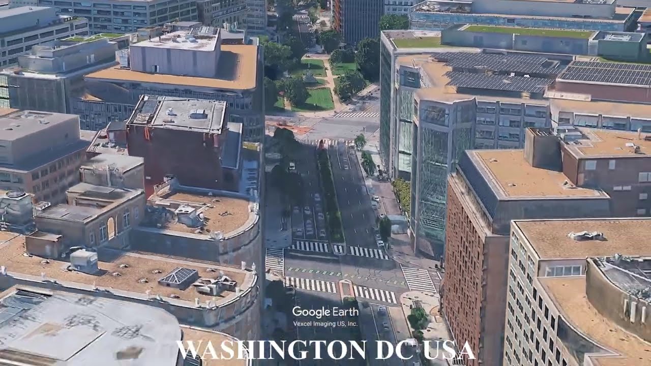
Washington, D.C. is defined by the Potomac River, tidal wetlands, rolling Piedmont terrain, and low-lying flood-prone ground. The city sits at the boundary between upland hills and the Atlantic coastal plain, shaping its layout, drainage systems, and long-term flood management challenges.
This video uses Google Earth imagery to show how geography shapes cities and sites.
Geography text adapted from Wikipedia, article: Washington, D.C.
Licensed under CC BY-SA 4.0
https://en.wikipedia.org/wiki/Washing...
#WashingtonDC #Geography #CapitalCity #UrbanGeography #Rivers #GoogleEarth
Не удается загрузить Youtube-плеер. Проверьте блокировку Youtube в вашей сети.
Повторяем попытку...
Повторяем попытку...
Доступные форматы для скачивания:
Скачать видео
-
Информация по загрузке: