Скачать
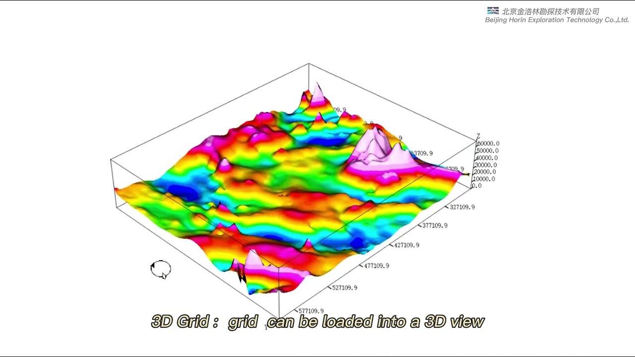
Horin Geoscience Mapping Software
Автор: Horin Geophysical & Geoscience Software
Загружено: 2023-03-09
Просмотров: 452
Описание: Horin Geoscience Mapping Software is a set of general geoscience data collation and mapping software, which can be used for land, airborne, marine surveying and geophysical surveys, as well as other related professional data collation, mapping and 3D geological modeling work. It contains eleven types of basic general functions, which can meet your daily work needs for geoscience data collation and map display to the greatest extent.
Не удается загрузить Youtube-плеер. Проверьте блокировку Youtube в вашей сети.
Повторяем попытку...
Повторяем попытку...
Доступные форматы для скачивания:
Скачать видео
-
Информация по загрузке:


![Эффект Джанибекова [Veritasium]](https://imager.clipsaver.ru/N9HlQ-XVnFk/max.jpg)