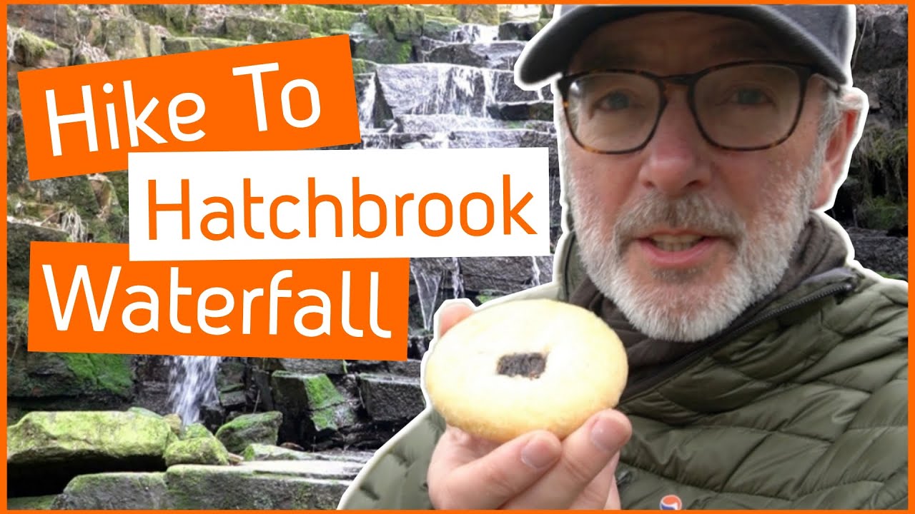
Hike to Hatch Brook WATERFALL - (including Wheelton Plantation and Brinscall Lodge Park)
Автор: Ambling Trails
Загружено: 2021-03-30
Просмотров: 2730
Описание:
Enjoy your virtual visit to Brinscall as we explore all the local areas of interest. Including the nearby Hatch Brook Waterfall, Brinscall Lodge Park and Wheelton Plantation.
We begin by studying the entrance to Brinscall Lodge park which has some interesting carved stone and a sculpture of a large frog. Also, the gate is circular in nature and has a snake head on the top. Once in the park we view the Lodge which is a Lake that was used to feed the old cotton mill in the past with water. Of course, we also take the opportunity to introduce ourselves to the ducks before we do a 'Thumbs up for the Ducks' moment.
Next we head up Well Lane so that we can do an initial view of the supply of water that feeds Hatch Brook Waterfall. Here we turn into Wheelton Plantation as it is termed on the map, but locally it is generally referred to as Brinscall Woods and in the past it has also been known as Heather Lea Woods or the Pine Woods. In the woods we view and investigate the many abandoned farmsteads and discuss how the village of Brinscall had evolved from a farming community to a cotton and mining village.
Leaving the woods we cross the bridge over the Goit. We review the word 'goit' and how it is old English dialect related to canalised water but is now often used to refer to this water locally, as the River Goit.
We now enter some fields and then visit the garden space on Lodge Bank which is operated by Wildwood Day. This space is used for visitors and especially children to learn about the woods and the natural surroundings.
Next we revisit the Brinscall Lodge Park whilst we have a spot of lunch. Today lunch is actually Chorley Cake, which is a flattened shortcrust pastry with currents that was easy to carry and store for workers in the mills and quarries.
Now we have completed that circular walk we now do a short there and back route to Brinscall Waterfall. This we view from many angles before finishing and then subscribing to Ambling Trails!
The walk is over three miles long with roughly 400 feet of ascent. The OS map of the West Pennine Moors will help to keep you on track. Also, a combination of this description and watching the video will greatly enhance the possibility of achieving the walk of your desire. Underfoot conditions are generally good most of the year, but following persistent rain the areas shown on the video do tend to get muddy. Of particular note, is that the rocks/stones at the waterfall are covered in moss, so these do have a tendency to be slippy even in dry weather conditions.
If you enjoy the great outdoors (hiking, walking, running, dog walking) and also, appreciate the views of the countryside with a curiosity as to the development and history of the structures within the landscape, this video is for you.
This video may help you discover a new route however, the route described above and the content of the video will only provide an insight but you should use the appropriate OS map for final detail. However, if you need further help please don't be afraid to use the comments section of this video and I will attempt to help where possible.
Video uploads currently, every Tuesday 16:00 (GMT)
Повторяем попытку...
Доступные форматы для скачивания:
Скачать видео
-
Информация по загрузке: