How to See GPS, Starlink, and OneWeb Satellites in Real-Time on an Interactive Map?
Автор: Tutorials Zoom
Загружено: 2023-10-02
Просмотров: 48
Описание:
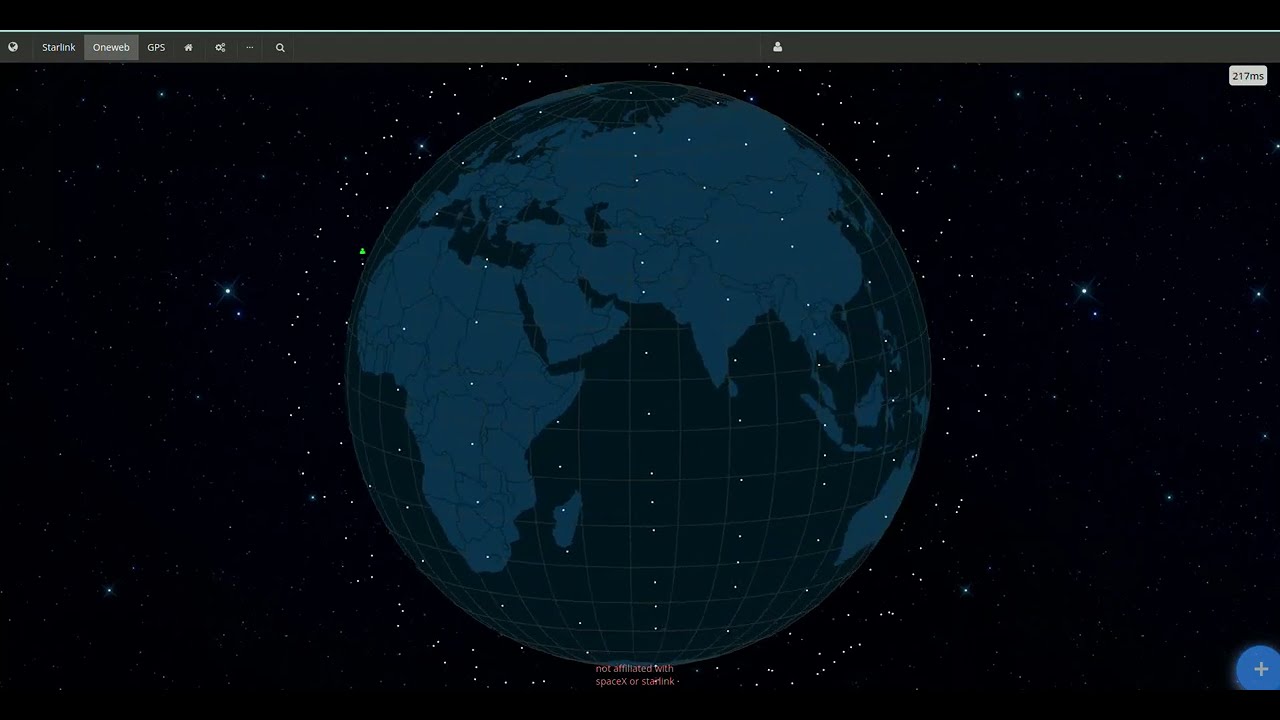
In this video, I show you how to use the satellitemap website, which allows you to visualize satellites orbiting the Earth. You'll be able to see the positions, trajectories, and names of satellites from the GPS, Starlink, and OneWeb constellations, which are used for positioning, internet, or telecommunications. You'll also learn how to filter satellites by constellation, altitude, or inclination, and how to get detailed information on each satellite. This site is very informative for understanding the operation and impact of artificial satellites on our planet. Feel free to like, comment, and subscribe if you enjoyed this video! 😊
https://satellitemap.space/
Follow me on Twitter : https://twitter.com/TutorialsZoom
Follow me On Instagram: https://www.instagram.com/tutorialszoom/
Follow me On TikTok: https://www.tiktok.com/@tutorialszoom/
Follow me on Facebook: https://www.facebook.com/profile.php?id=10...
Like, share and subscribe our channel for more videos.
Enjoy our free tutorial on our YouTube channel.
THANKS! We appreciate you reading this and hope you have a wonderful day!
Sincerely,
Tutorials Zoom
Повторяем попытку...
Доступные форматы для скачивания:
Скачать видео
-
Информация по загрузке: