Hike #6 - Olinda Falls I Cascade track, Eagle Nest Rd and more I Victoria
Автор: Trail Wanderers
Загружено: 2026-03-04
Просмотров: 22
Описание:
Olinda Falls Track
Location:
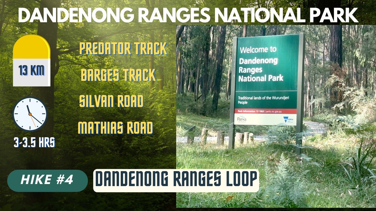
Dandenong Ranges National Park – Olinda section (covering Olinda Falls & surrounding forest trails)
Trail Covered:
Olinda Falls Track, Cascade Track, Berges Track, Eagle Nest Rd, Rifle Range Gully Track & Bartlett Track (including the view of Olinda Falls from the upper platform)
Distance from Melbourne CBD:
Approximately 42 km east of Melbourne CBD
How to Reach:
🚗 By Car: Around 1 hour drive from Melbourne CBD via Eastern Freeway (M3) and Mount Dandenong Tourist Road.
🅿️ Parking available at Olinda Falls Rd car park. Limited parking
🚌 Public Transport: Train from Melbourne to Upper Ferntree Gully Station, then bus/taxi to Olinda (car recommended for flexibility).
Trail Distance:
10.5 km loop (combination of multiple interconnected tracks)
Time Taken:
Approximately 2.5–3 hours (moderate pace)
Difficulty Level:
Moderate – Includes steady climbs, forest trails, stairs near the falls, and some uneven sections.
What to Expect:
🌿 Lush temperate rainforest
💧 Beautiful cascades and waterfall views
🌲 Tall Mountain Ash trees
📸 Stunning view of Olinda Falls from the upper platform
🥾 Peaceful bushwalking experience with a mix of narrow forest paths and wider management tracks
Best Time to Visit:
After rainfall for stronger waterfall flow. Autumn and winter enhance the rainforest vibe, while spring brings fresh greenery.
Tips:
• Wear good grip hiking shoes (some sections can be slippery).
• Carry water – limited facilities along the track.
• Check weather before visiting.
• Start early to avoid crowds on weekends.
****************************
THANKS FOR WATCHING
****************************
#dandenongranges #hiking #fitness #thingstodoinmelbourne #walking #travel #melbournewalks #victoriapark #australia #trending #trendingvideo
Повторяем попытку...

Доступные форматы для скачивания:
Скачать видео
-
Информация по загрузке: