CRISIS WebGIS: A Tool To Support The Emergency Management In Cross-Border Regions
Автор: EUCENTRE
Загружено: 2024-05-16
Просмотров: 20
Описание:
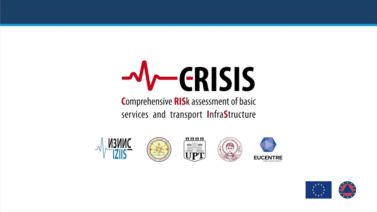
The video tutorial unveils the unique functionality and purpose of the CRISIS WebGIS. This innovative platform, developed by the EUCENTRE Foundation in collaboration with various consortiums, incorporates hazard, exposure, and vulnerability models for comprehensive risk assessment. The CRISIS (Comprehensive Risk Assessment of Basic Services and Transport Infrastructure) project, funded by the European Union under the grant agreement 101004830 - CRISIS - UCPM-2020-PP-AG, saw the collaboration of The Institute of Earthquake Engineering and Engineering Seismology in Skopje (project coordinator), the Crisis Management Centre of the Republic of North Macedonia, The Department of Civil Engineering of the Polytechnic University of Tirana, The Department of Civil Engineering of the Aristotle University of Thessaloniki, and the Eucentre Foundation.
What you will learn in this video:
-What the CRISIS WebGIS is and what it is for
How to use the CRISIS WebGIS
#SeismicRisk #LandslideRisk #SeismicVulnerability #SeismicHazard #Exposure #EmergencyManagement #DisasterManagement
Повторяем попытку...
Доступные форматы для скачивания:
Скачать видео
-
Информация по загрузке: