Sierra Nevadas-Hiking Up Cardiac Trail
Автор: Destiny's Angel
Загружено: 2025-10-22
Просмотров: 531
Описание:
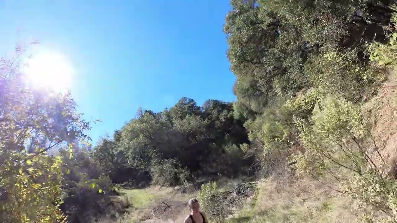
This is Part I of the hike up the Cardiac Bypass Trail from the Oregon Bar in Newcastle, California. The sky is blue, the sun is bright, and the trees are all shades of green, gray and brown.
Here is how the Sierra Nevada Mountain was formed: The Sierra Nevada mountains were formed around 40 to 100 million years ago due to the collision of tectonic plates during the Nevada orogeny. The granite that makes up the range formed deep underground more than one hundred million years ago, and the range began to uplift less than five million years ago. According to online articles, the Sierra Nevada is also known as the Range of Light. This range is located mostly in California with a portion of it reaching into Nevada After the collision described above, a line of volcanoes were formed by the subduction and faulting of the plate tectonic activity. Although the volcanoes are dormant now they create the character of the Sierra Nevada range Today, mountain range is approximately 400 miles from the Tehachapi Pass on the south end of California to Northern California in the Cascade Range along the North Fork of the Feather River. The range covers 24 counties and is adjacent to 24 River basins. Statistics indicate that the water resources that were a result of Mother Nature's tectonic activity boast the following: hydroelectric energy 3500 plant, 572 animal and 321 aquatic species The name, Sierra Nevada came from the Spanish explorer, Padre Pedro Font in 1776
Here is some history of the mining in Newcastle in the 18th century: The mining history in Newcastle, California was put on the map because of the camp that was called the “Secret Diggings” around 1850.
According to online resources, the rivers with the most gold in California are:
American River system
Klamath-Trinity River system
Kern River system
The American River system is where the starting point of the gold rush occurred. Newcastle is located on part of the American River system. The Placer gold was extracted quickly from the Newcastle area and by 1861, the town’s residents had moved to areas where there was more work. The resources mined from California’s uplifts were plentiful however the mining professionals moved to new areas to prospect. In 1864, the Central Pacific Railroad reached Newcastle and created job opportunities in the agricultural industry. The climate made California’s Sacramento and San Joaquin Valleys ideal for growing agriculture and maintaining grazing animals.
Currently there are 851 mines around Newcastle. There are 50 active mines, and the rest have been closed. There is more information about these mining areas on the Bureau of Land Management, Public Land Survey System website.
Here is some more background on the American River System: The Middle and South Forks of the American River have been producing gold since the Gold Rush began, and people still prospect today.
Klamath-Trinity River System: The Klamath River system is in the northern part of the state. It is one of the most productive gold regions in the state. The Trinity River and its tributaries, such as the Salmon River, have yielded significant amounts of gold. The areas with high production include:
North Fork of the Salmon River between Sawyer’s Bars
Forks of Salmon
Trinity River districts near Weaverville
Kern River System: This river system is in southern California. Kern County has produced more gold than any other county south of the Mother Lode region due to the river and surrounding desert mines.
On a larger level than mining for elements, you will see in the Carquinez Strait and Bay elements, the fruit industry took over the gold mining industry as the veins of gold were extracted from the Sierra Madres.
Повторяем попытку...
Доступные форматы для скачивания:
Скачать видео
-
Информация по загрузке:


