⁴ᴷ⁶⁰ Driving Hutchinson River Parkway from New Rochelle, NY to Connecticut State Line
Автор: Walking & Driving Incognito
Загружено: 2023-01-17
Просмотров: 2076
Описание:
January 14, 2023 - 10:50 AM
33°F / 1°C
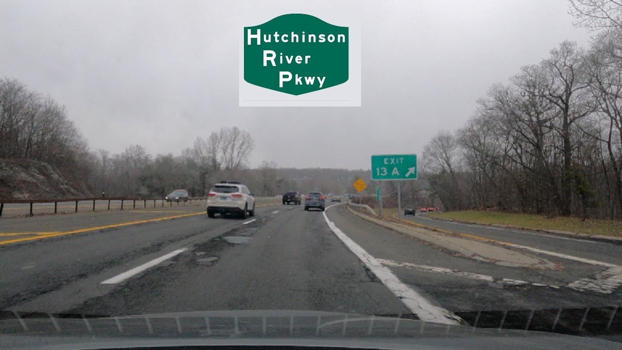
Dashcam view of driving northbound on the Hutchinson River Parkway from Mill Road in New Rochelle, New York to the Connecticut State Line.
From Wikipedia:
The Hutchinson River Parkway (known colloquially as The Hutch) is a north–south parkway in southern New York in the United States. It extends for 18.71 miles (30.11 km) from the massive Bruckner Interchange in the Throggs Neck section of the Bronx to the New York–Connecticut state line at Rye Brook. The parkway continues south from the Bruckner Interchange as the Whitestone Expressway (Interstate 678) and north into Greenwich, Connecticut, as the Merritt Parkway (Connecticut Route 15). The roadway is named for the Hutchinson River, a 10-mile-long (16 km) stream in southern Westchester County that the road follows alongside. The river, in turn, was named for English colonial religious leader Anne Hutchinson.
Construction of the parkway began in 1924 and was completed in 1941. The section of the parkway between Eastern Boulevard (now Bruckner Boulevard) in the Bronx and U.S. Route 1 (US 1) in Pelham Manor was designated as New York State Route 1X (NY 1X) from 1941 to 1946. NY 1A was subsequently realigned to follow the Hutch between Eastern Boulevard and US 1. The NY 1A designation was removed around 1962.
Повторяем попытку...
Доступные форматы для скачивания:
Скачать видео
-
Информация по загрузке:


![⁴ᴷ Garden State Parkway southbound [4K VIDEO]](https://imager.clipsaver.ru/IOkmLVon5WA/max.jpg)


![⁴ᴷ Interstate 287 - New Jersey northbound [4K VIDEO]](https://imager.clipsaver.ru/2A8rUSNHVSk/max.jpg)