Georeferencing maps in Global Mapper (3 Methods)
Автор: GeoMapper
Загружено: 2020-12-10
Просмотров: 1061
Описание:
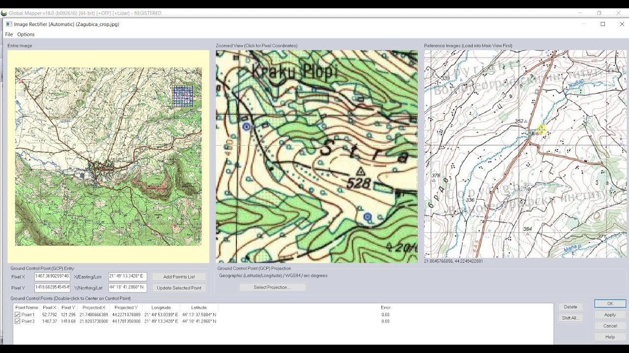
Three Methods of georeferencing (rectifying) maps in Global Mapper, including use of projection with specific parameters i.e. MGI / Balkans zone 7 (Gauss–Krüger coordinate system), used on topographic maps in Yugoslavia.
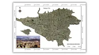
Map NL34-11/9-2-3 (Жагубица) used in this video is product of Military Geographical Institute (of Serbia) / Vojnogeografski institut ➜ https://bit.ly/3n09cUj
Contents
0:00 - 1. Using corners of map
2:33 - 2. Using grid on map
4:56 - 2.1 Setting parameters for MGI / Balkans zone 7
7:17 - 3. Using common objects on map
MGI / Balkans zone 7 parameters ➜ https://bit.ly/3gtgcqd (GeoRepository)
Rectification (tutorial) ➜ https://bit.ly/39UTnKP (Blue Marble Geographics)
GeoMapper Data Collector ➜ https://bit.ly/37SoJzh (GeoMapper)
GeoMapper Data Collector ➜ https://bit.ly/2Iu3A5V (Google Play Store)
Повторяем попытку...
Доступные форматы для скачивания:
Скачать видео
-
Информация по загрузке: